
11e - POPINCOURT
Les Conseils de Quartier
Explore This Page


Explore the Conseils de Quartier of the 11e — Popincourt.
Overview
Download the Paris Conseil de Quartier Map
Geographic Setting
The Conseils de Quartier of the 11e organize local civic life across one of Paris’s densest and most energetic eastern arrondissements. Set between three major symbolic squares — République, Bastille, and Nation — the 11e stretches through faubourg streets, residential corridors, former workshop districts, nightlife zones, market streets, garden squares, schools, churches, creative spaces, and dense apartment blocks. Its geography is less monumental than central Paris, but more intensely lived: a district of movement, association, commerce, politics, cafés, public space, and everyday neighborhood use.
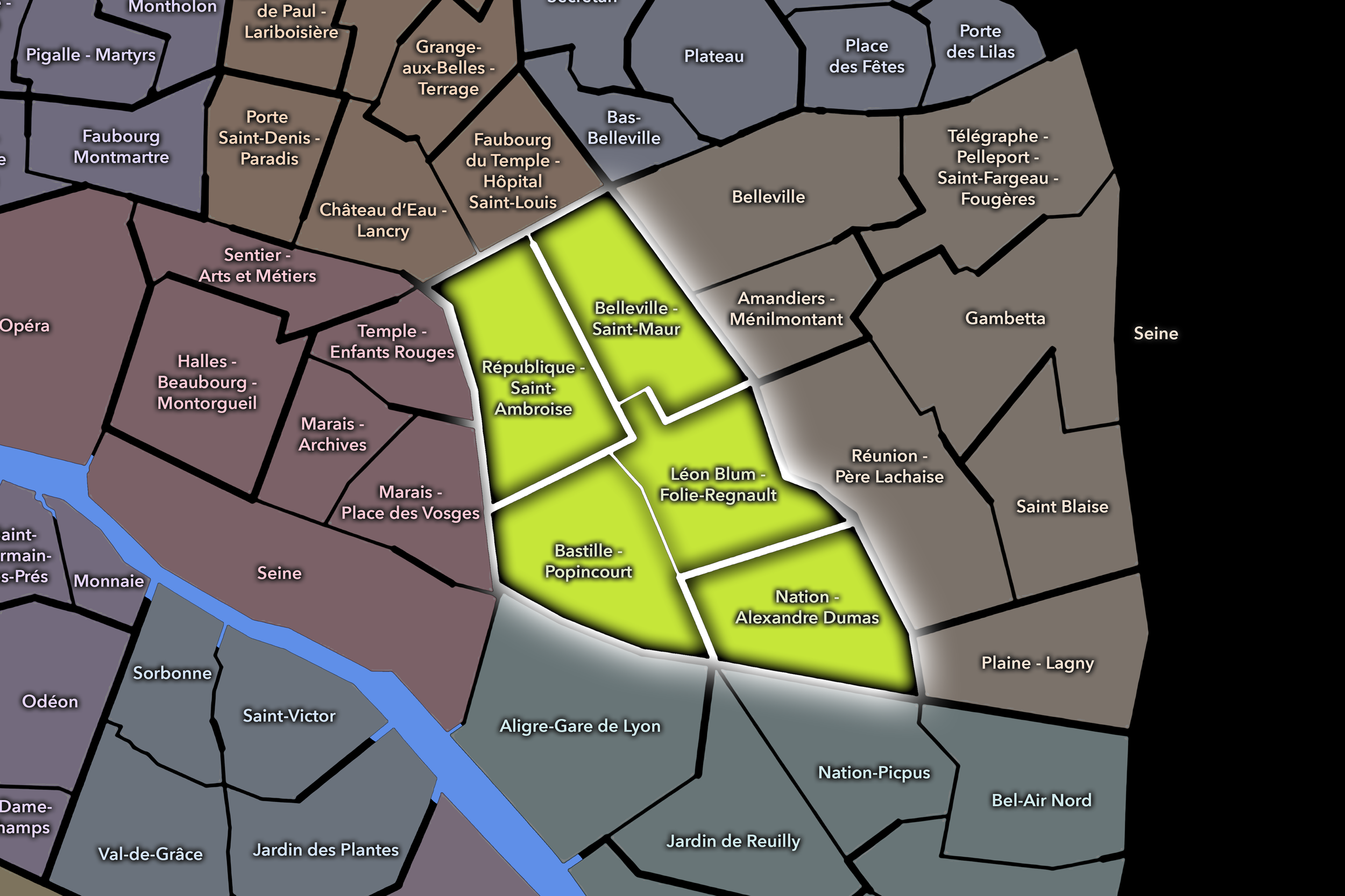
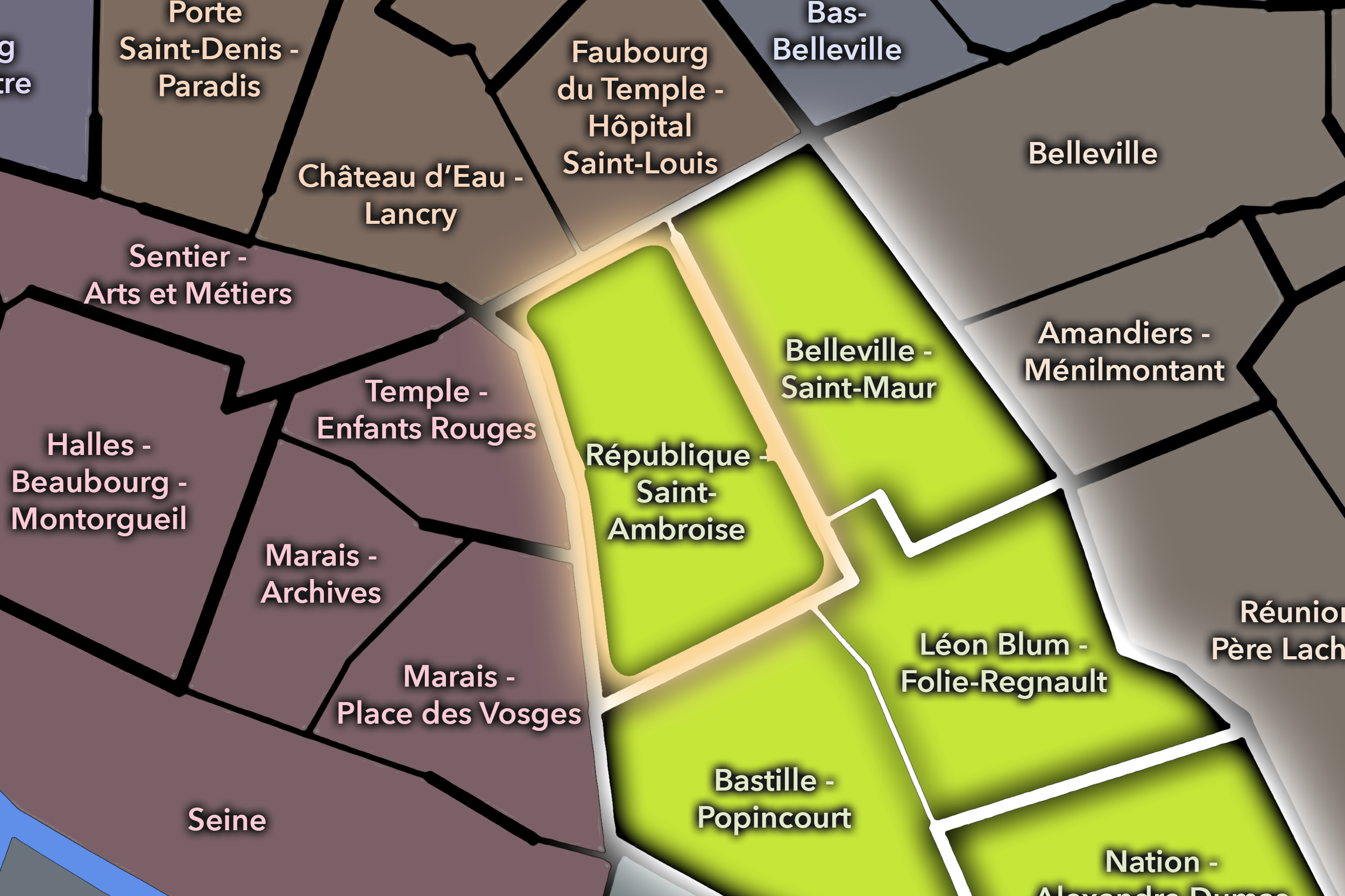
The 11e’s Conseil de Quartier structure divides this landscape into five civic territories: République - Saint-Ambroise, Belleville - Saint-Maur, Léon Blum - Folie-Regnault, Nation - Alexandre Dumas, and Bastille - Popincourt. Rather than simply repeating the arrondissement’s four official Administrative Quarters, this five-council structure gives the 11e a participatory map that follows its internal civic and urban logic: the République edge and Oberkampf corridor, the Belleville / Saint-Maur slope and mixed residential-commercial fabric, the Léon Blum / Voltaire / Père-Lachaise-adjacent center, the Nation / Alexandre Dumas eastern gateway, and the Bastille / Popincourt district of markets, nightlife, workshops, and residential streets.
Together, these five CdQs reveal the 11e as a district of linked local intensities. Its neighborhoods are close together, but they are not interchangeable. A few streets can shift the atmosphere from nightlife to school blocks, from political square to market corridor, from former workshop street to garden square, from dense residential life to one of Paris’s major civic thresholds. The CdQ layer helps make those shifts legible at the scale where people actually experience the arrondissement.
Civic Framework
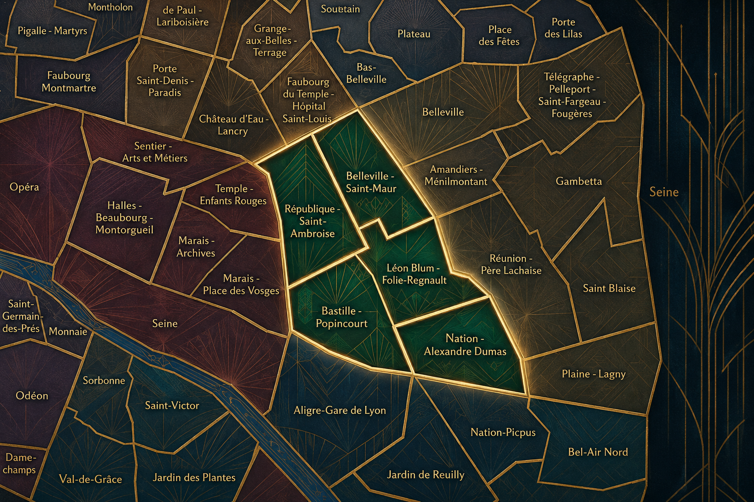
The 11e’s Conseils de Quartier provide a neighborhood-level civic structure for an arrondissement whose public life is unusually active and locally grounded. The district includes major squares, high-density residential streets, strong commercial corridors, cafés and restaurants, nightlife, cultural venues, schools, associations, workshops, gardens, and transit nodes. Its CdQs give residents, shopkeepers, workers, students, families, visitors, and local institutions a more precise scale for addressing the practical issues that shape daily life.
The five-council framework is especially useful because the 11e is not defined by a single central monument or park, but by a network of streets and local centers. République - Saint-Ambroise gathers civic, nightlife, and residential pressures around one of Paris’s great gathering squares and the Oberkampf / Saint-Ambroise corridor. Belleville - Saint-Maur connects the arrondissement to the social, cultural, and commercial diversity of the Belleville edge. Léon Blum - Folie-Regnault gives shape to a dense central-eastern fabric of schools, squares, residential blocks, and Père-Lachaise-adjacent streets. Nation - Alexandre Dumas frames the eastern gateway toward Nation, Charonne, and the 20e, while Bastille - Popincourt organizes the western and southern district around markets, cafés, workshops, creative streets, and Bastille-facing movement.
As a civic framework, the 11e’s CdQs help organize questions that are central to the arrondissement’s everyday life: public-space use, nightlife and noise, pedestrian circulation, local commerce, school streets, greening, markets, cultural venues, accessibility, residential quality of life, and the balance between the 11e as a destination and the 11e as a neighborhood. The city’s “Embellir votre quartier” work in the 11e has also proceeded across several of these CdQ territories, underscoring how the council geography functions as a practical scale for public-space improvements and local consultation.
Local Expression
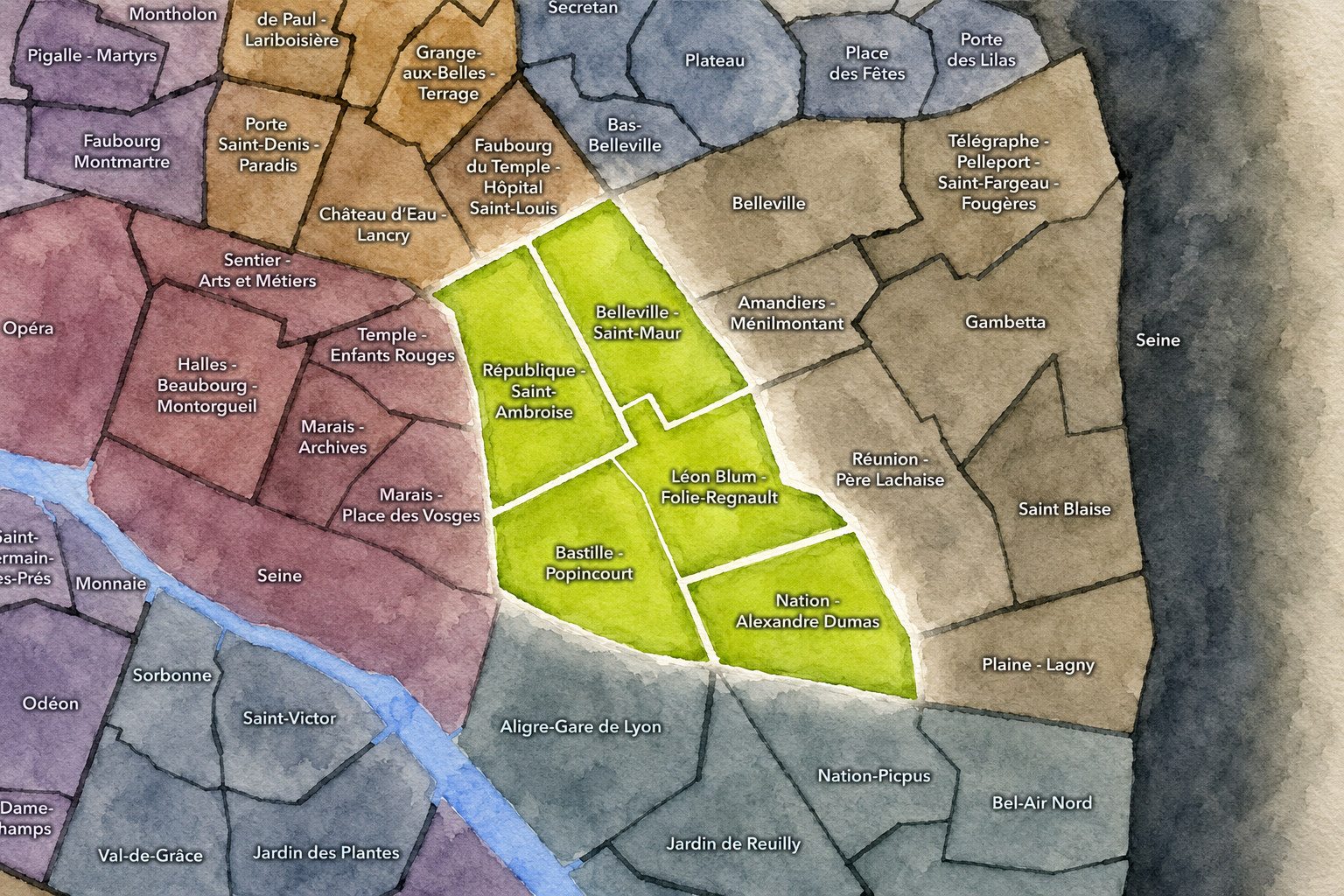
Viewed through its Conseils de Quartier, the 11e becomes a mosaic of eastern Paris rather than a single “Popincourt” identity. République - Saint-Ambroise expresses the arrondissement’s public and political edge, where major gatherings, nightlife, transit, restaurants, and residential streets meet. Bastille - Popincourt carries the energy of markets, workshops, cafés, creative streets, and the long transition from the historic faubourgs to contemporary nightlife and local commerce.
Belleville - Saint-Maur brings the 11e toward one of Paris’s most diverse and socially textured urban edges, with hillside streets, immigrant histories, food corridors, schools, and dense residential life. Léon Blum - Folie-Regnault gives the arrondissement a more local interior rhythm, shaped by Voltaire, neighborhood squares, family life, and the borderlands around Père-Lachaise. Nation - Alexandre Dumas, meanwhile, expresses the 11e’s eastern gateway character: broad movement, residential density, commercial streets, and the transition toward Charonne and the 20e.
The value of the CdQ layer in the 11e is that it captures the arrondissement at the scale of its real civic life. Through its five councils, the 11e can be read through café terraces, school blocks, market streets, night corridors, community gardens, transit intersections, workshop memories, and the everyday negotiations of a dense district where Paris feels active, local, and constantly in use.
Les Conseils de Quartier
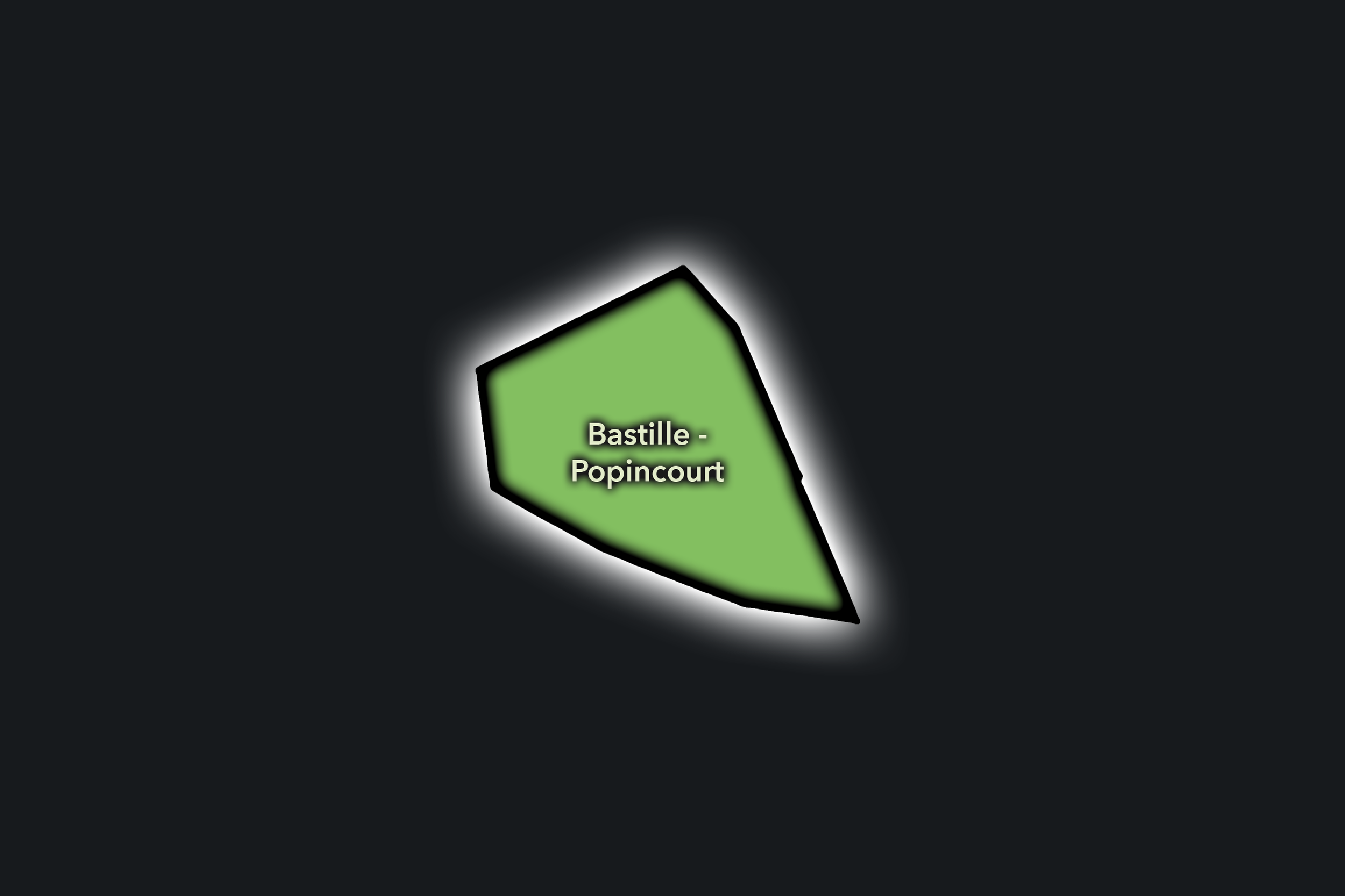
Bastille - Popincourt
Civic Profile
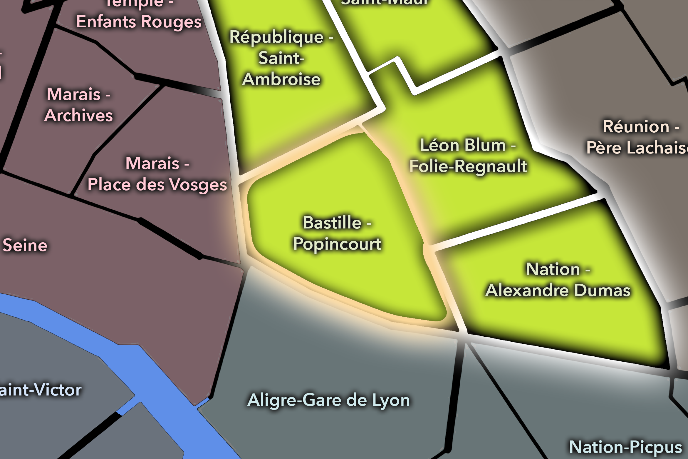
The Bas-Belleville Conseil de Quartier gives civic form to the southwestern edge of the 19e, where the arrondissement meets Belleville, the 10e, the 11e, and the lower slopes of eastern Paris. As a civic territory, it is shaped by dense residential streets, immigrant commercial life, cafés, schools, markets, local associations, public housing, and the strong movement around Belleville and Colonel Fabien. It is one of the 19e’s clearest thresholds: not quite the canal district, not yet the heights of Place des Fêtes, but a lived urban hinge between central eastern Paris and the hillier neighborhoods above.
On the ground, Bas-Belleville feels active, layered, and socially textured. Its civic themes center on commercial vitality, housing and residential quality of life, pedestrian comfort, public-space maintenance, market activity, school streets, and the balance between neighborhood identity and heavy movement along major corridors. The CdQ layer is useful here because it gives civic visibility to a district whose identity comes less from monuments than from everyday public life: food streets, cafés, apartment blocks, local institutions, and the social energy of Belleville’s lower edge.
Bastille - Popincourt: At a Glance
A curated list for you.
-

Major Streets
Rue du Faubourg Saint-Antoine
Rue de la Roquette
Rue de Charonne
Boulevard Richard-Lenoir
Avenue Ledru-Rollin
-

Public Spaces & Landmarks
Place de la Bastille
Marché Bastille
Square Maurice-Gardette nearby
Cour de l’Étoile-d’Or / faubourg courtyards nearby
Opéra Bastille nearby
-

Transit Access
Bastille
Bréguet - Sabin
Richard-Lenoir
Ledru-Rollin nearby
Voltaire nearby
-

Shopping & Dining
Marché Bastille
Rue de Charonne dining
Rue de la Roquette bars and cafés
Bistrot Paul Bert
Septime nearby
-

Hotels & Attractions
Bastille visitor district
Faubourg Saint-Antoine artisan route
Marché Bastille Sunday/Thursday market
Opéra Bastille nearby
Marais / Bastille hotel edge
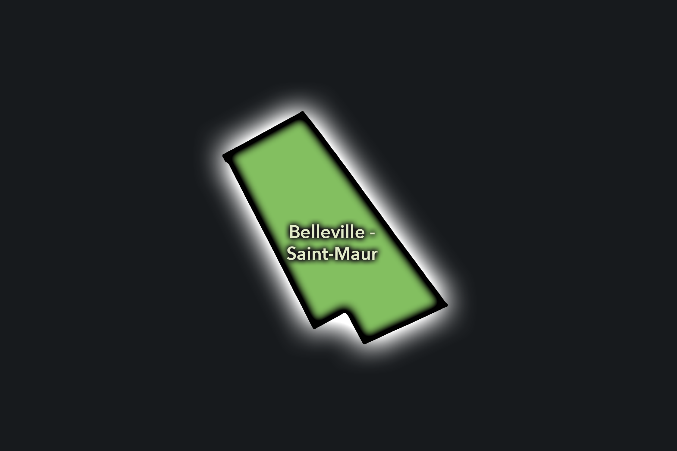
Belleville - Saint-Maur
Civic Profile
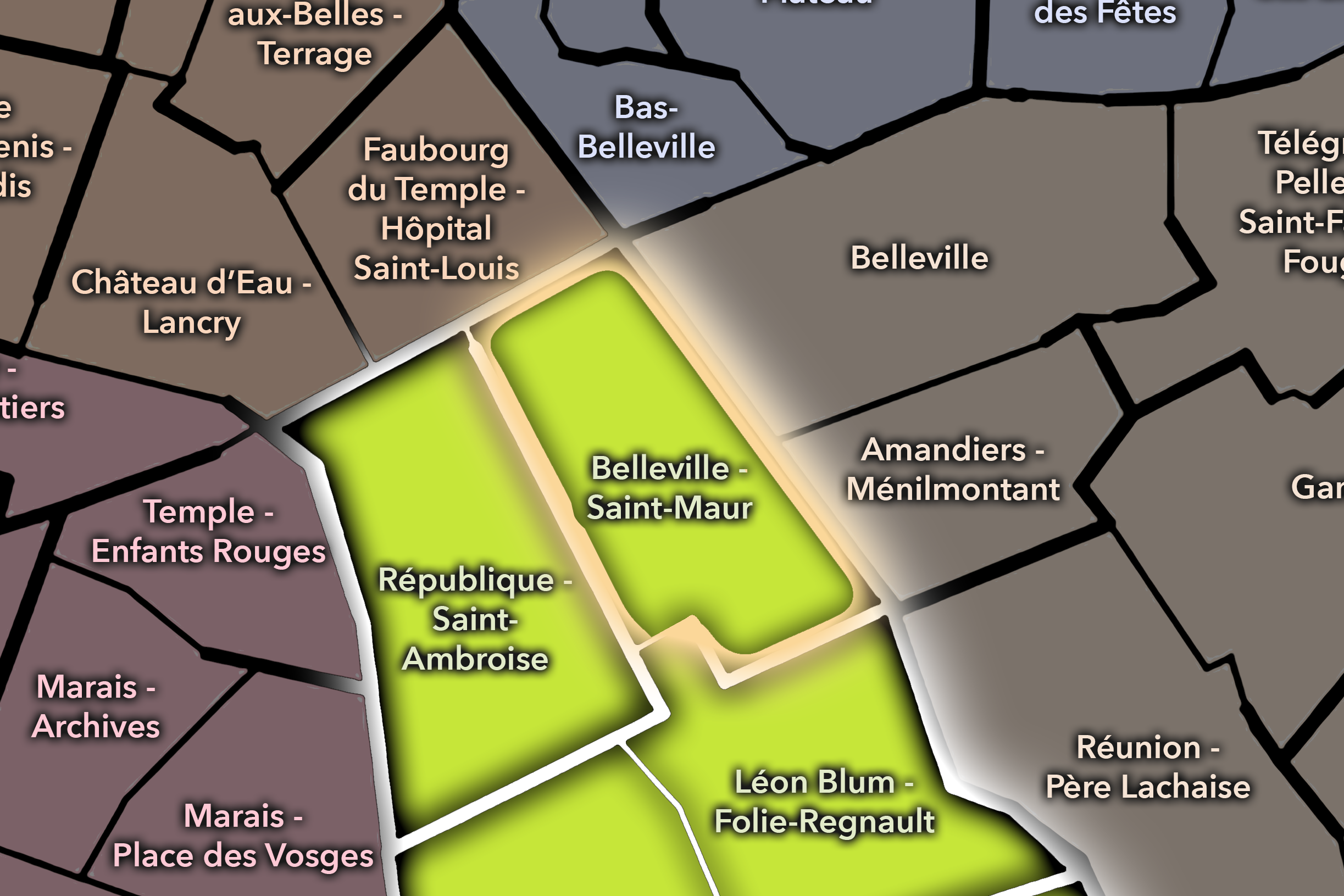
The Belleville - Saint-Maur Conseil de Quartier organizes the northern edge of the 11e, where the arrondissement meets Belleville, Ménilmontant, the lower slopes of eastern Paris, and the dense residential-commercial fabric around Rue Saint-Maur. Its civic geography is shaped by immigrant food streets, apartment blocks, local schools, cafés, small shops, music and nightlife edges, community life, and the transition between the 11e, 20e, and Belleville’s wider cultural landscape.
On the ground, Belleville - Saint-Maur feels mixed, energetic, and socially textured. It is less monumental than République and less formal than Nation, but deeply local: a district of food shops, small restaurants, residential side streets, street art, cafés, local associations, and the everyday movement between Belleville and the 11e. Its civic themes center on commercial vitality, public-space use, housing and residential quality of life, pedestrian comfort, nightlife edges, cultural diversity, and the maintenance of a dense neighborhood fabric where many different communities share the street.
Belleville - Saint-Maur: At a Glance
A curated list for you.
-
Major Streets
Rue Saint-Maur
Boulevard de Belleville
Rue Oberkampf
Rue Jean-Pierre Timbaud
Rue de la Fontaine au Roi
-
Public Spaces & Landmarks
Belleville edge
Square Jules-Verne nearby
Église Notre-Dame-de-la-Croix nearby
Atelier des Lumières nearby
Couronnes / Ménilmontant corridor nearby
-
Transit Access
Belleville
Couronnes
Rue Saint-Maur
Ménilmontant nearby
Parmentier nearby
-
Shopping & Dining
Boulevard de Belleville food corridor
Rue Jean-Pierre Timbaud cafés and bars
Rue Saint-Maur dining
Le Chateaubriand nearby
La Cave de Belleville nearby
-
Hotels & Attractions
Belleville walking route
Atelier des Lumières nearby
Ménilmontant / Oberkampf nightlife edge
Belleville street-art and food corridor
Eastern Paris neighborhood hotel edge
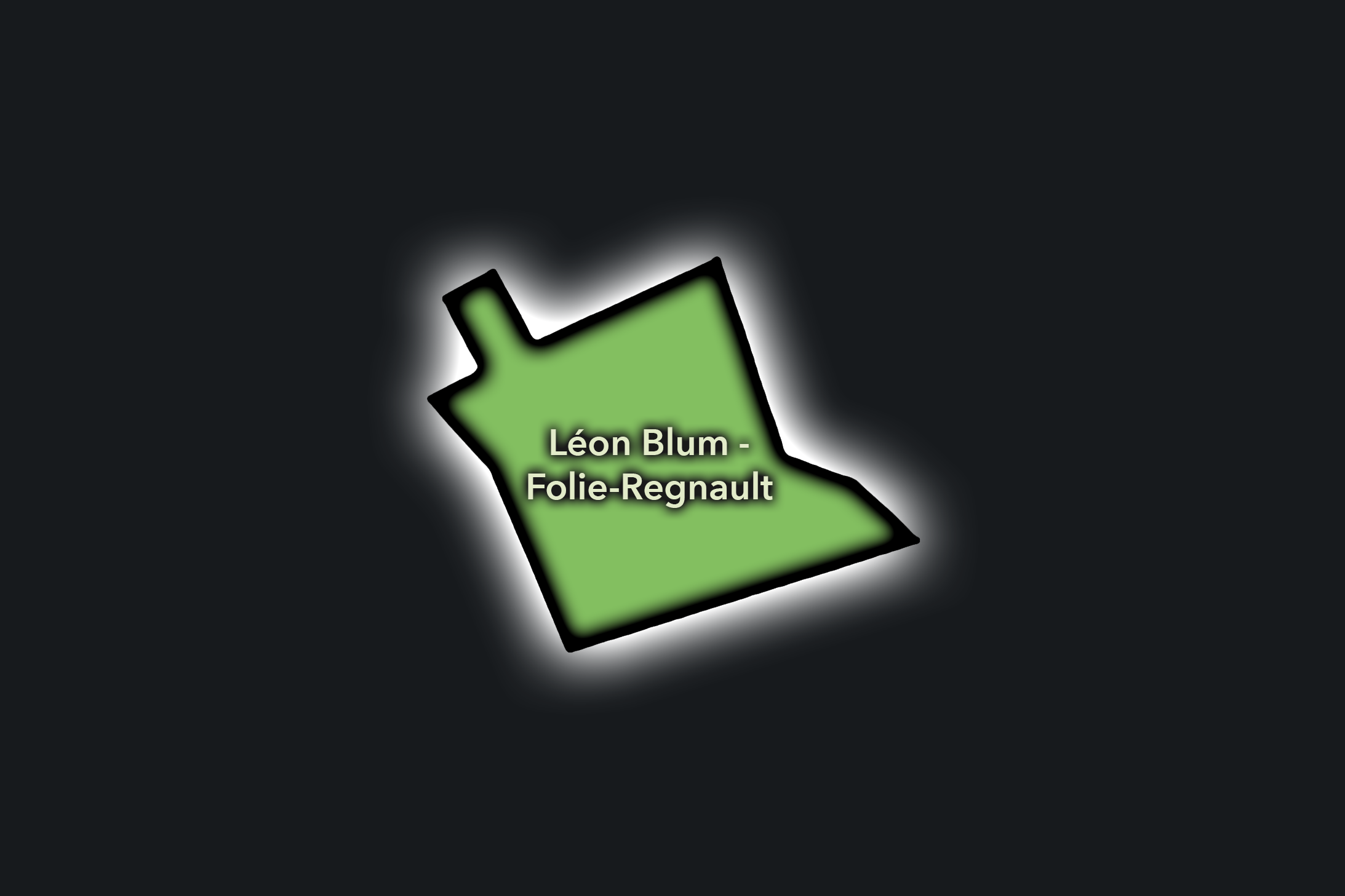
Léon Blum - Folie-Regnault
Civic Profile
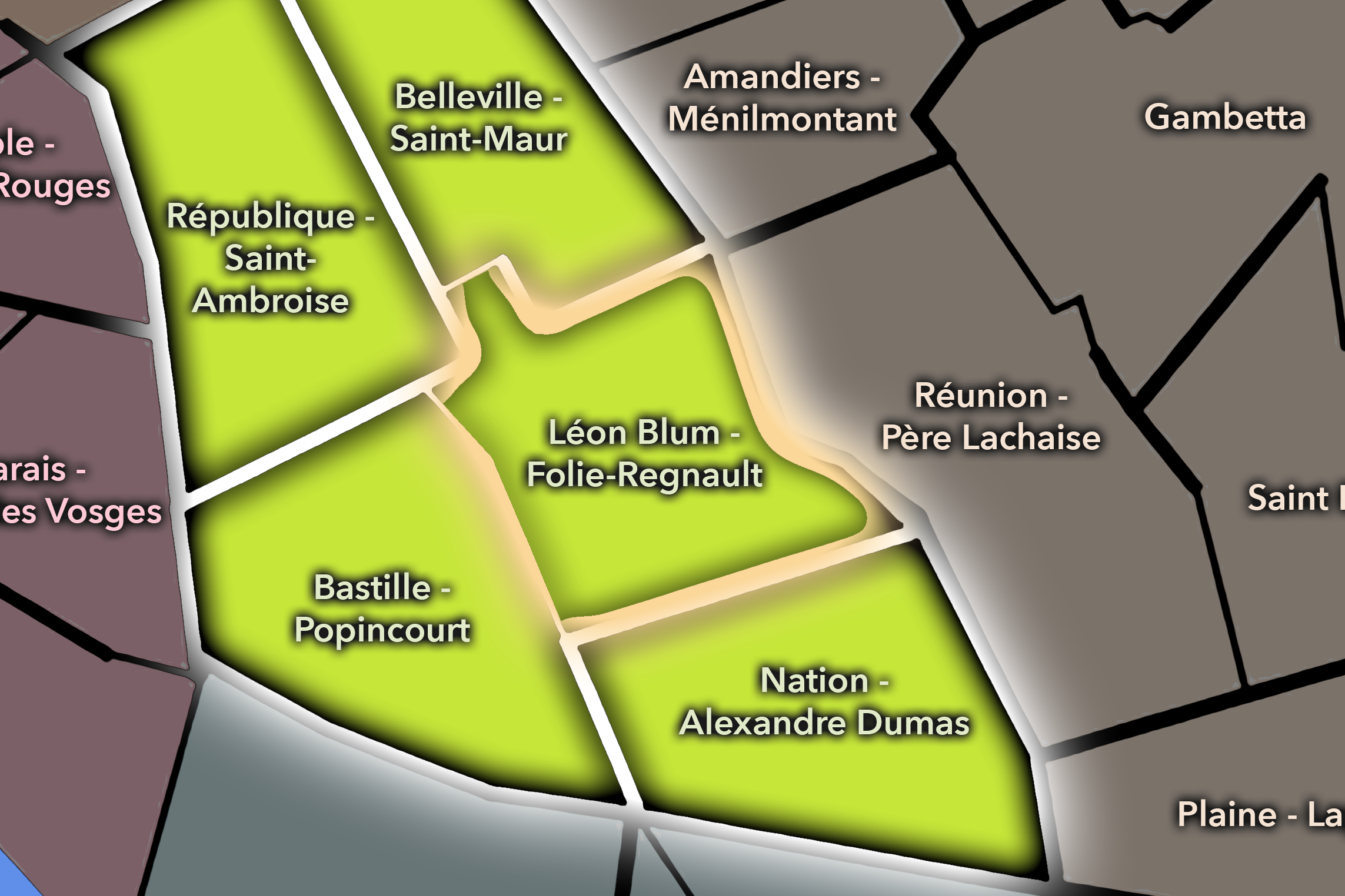
The Léon Blum - Folie-Regnault Conseil de Quartier gives civic shape to the central-eastern interior of the 11e, around Place Léon Blum, Boulevard Voltaire, Rue de la Roquette, Rue de Charonne, the Père-Lachaise edge, and the dense residential streets between Bastille, Nation, and Ménilmontant. As a civic territory, it is strongly neighborhood-centered: schools, apartment blocks, local shops, cafés, squares, cemeteries, transit access, and everyday routes define its public life more than major tourist monuments.
On the ground, Léon Blum - Folie-Regnault feels lived-in, local, and closely tied to the everyday rhythms of eastern Paris. It carries the energy of Boulevard Voltaire and Rue de la Roquette, but also quieter side streets, school blocks, local restaurants, and the presence of Père-Lachaise just beyond the arrondissement edge. Its civic themes center on residential livability, pedestrian safety, traffic on major corridors, school streets, neighborhood commerce, greening, access to public space, and the balance between local routines and the restaurant/nightlife energy spreading through the surrounding 11e.
Léon Blum - Folie-Regnault: At a Glance
A curated list for you.
-
Major Streets
Boulevard Voltaire
Rue de la Roquette
Rue de Charonne
Avenue Parmentier
Rue Léon Frot
-
Public Spaces & Landmarks
Place Léon Blum
Mairie du 11e arrondissement
Église Saint-Ambroise nearby
Cimetière du Père-Lachaise nearby
Square de la Roquette nearby
-
Transit Access
Voltaire
Charonne
Philippe Auguste
Père Lachaise nearby
Saint-Ambroise nearby
-
Shopping & Dining
Rue de Charonne restaurants
Rue de la Roquette cafés and bars
Septime
Clamato
Bistrot Paul Bert nearby
-
Hotels & Attractions
Père-Lachaise visitor edge
Mairie du 11e civic district
Rue de Charonne dining route
Voltaire / Roquette neighborhood corridor
Bastille and Nation both nearby
Nation - Alexandre Dumas
Civic Profile
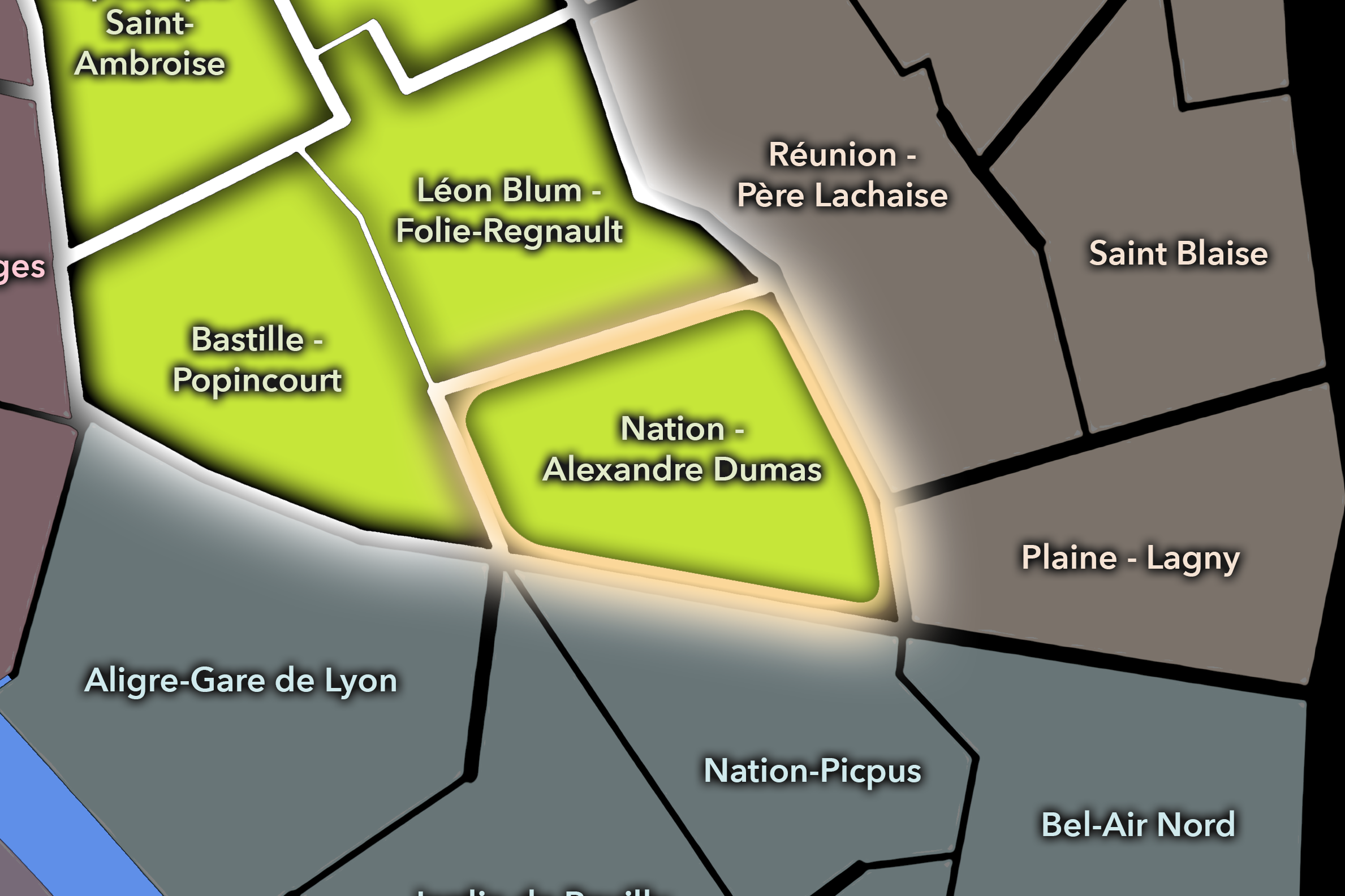
The Nation - Alexandre Dumas Conseil de Quartier organizes the eastern side of the 11e, where Boulevard Voltaire, Rue de Charonne, Avenue Philippe-Auguste, Place de la Nation, and the transition toward the 20e create one of the arrondissement’s clearest gateway landscapes. As a civic territory, it is shaped by broad movement, residential density, local shopping streets, schools, transit, market routes, and the shift from the interior 11e toward Charonne, Père-Lachaise, and the larger eastern Paris fabric.
On the ground, Nation - Alexandre Dumas feels more residential and connective than the Bastille or République edges, but it remains highly active. Place de la Nation brings major transit and civic symbolism, while Rue de Charonne and the surrounding streets support cafés, shops, schools, apartment blocks, and neighborhood services. Its civic themes center on traffic and pedestrian circulation, school streets, local commerce, greening, residential livability, transit access, and the management of a district that functions both as a neighborhood and as one of eastern Paris’s major crossings.
Nation - Alexandre Dumas: At a Glance
A curated list for you.
-
Major Streets
Boulevard Voltaire
Rue de Charonne
Avenue Philippe-Auguste
Avenue de Taillebourg
Rue Alexandre Dumas
-
Public Spaces & Landmarks
Place de la Nation
Jardin de la Folie-Titon nearby
Cimetière du Père-Lachaise nearby
Square Colbert nearby
Église Saint-Jean-Bosco nearby
-
Transit Access
Nation
Alexandre Dumas
Rue des Boulets
Philippe Auguste nearby
Avron nearby
-
Shopping & Dining
Rue de Charonne cafés and restaurants
Nation neighborhood cafés
Rue Alexandre Dumas local shops
Le Sot l’Y Laisse
East Mamma nearby
-
Hotels & Attractions
Place de la Nation transit and civic hub
Père-Lachaise visitor edge nearby
Charonne walking route
Eastern Paris neighborhood hotel edge
Faubourg Saint-Antoine nearby
République - Saint-Ambroise
Civic Profile
The République - Saint-Ambroise Conseil de Quartier gives civic form to the northwestern side of the 11e, where Place de la République, the Oberkampf corridor, Boulevard Voltaire, Saint-Ambroise, cafés, nightlife, schools, residential streets, and major transit flows meet. As a civic territory, it sits at one of the arrondissement’s strongest thresholds: part civic gathering space, part nightlife district, part neighborhood fabric, and part connector between the 10e, 3e, 11e, and eastern Paris.
On the ground, République - Saint-Ambroise feels public, active, and frequently negotiated. République brings demonstrations, events, transit, tourism, and large-scale public use, while Oberkampf and the surrounding streets bring restaurants, bars, music venues, apartment blocks, and daily local routines. Its civic themes center on public-space management, nightlife and noise, pedestrian circulation, school and residential livability, café terraces, greening, and the challenge of keeping one of Paris’s major gathering places connected to the smaller neighborhood streets around it.
République - Saint-Ambroise: At a Glance
A curated list for you.
-
Major Streets
Boulevard Voltaire
Avenue de la République
Rue Oberkampf
Rue Saint-Maur
Boulevard du Temple
-
Public Spaces & Landmarks
Place de la République
Église Saint-Ambroise
Square Richard-Lenoir nearby
Cirque d’Hiver nearby
Canal Saint-Martin nearby
-
Transit Access
République
Oberkampf
Saint-Ambroise
Parmentier
Filles du Calvaire nearby
-
Shopping & Dining
Rue Oberkampf bars and restaurants
Avenue de la République cafés
Pierre Sang in Oberkampf
Ave Maria
Le Perchoir Ménilmontant nearby
-
Hotels & Attractions
Place de la République civic square
Oberkampf nightlife corridor
Cirque d’Hiver visitor route
Canal Saint-Martin nearby
Marais / République hotel edge
Neighborhood Connections
Every Conseil de Quartier belongs to a wider Parisian fabric.
-
11e - Popincourt
-
Folie-Méricourt
-
Roquette
-
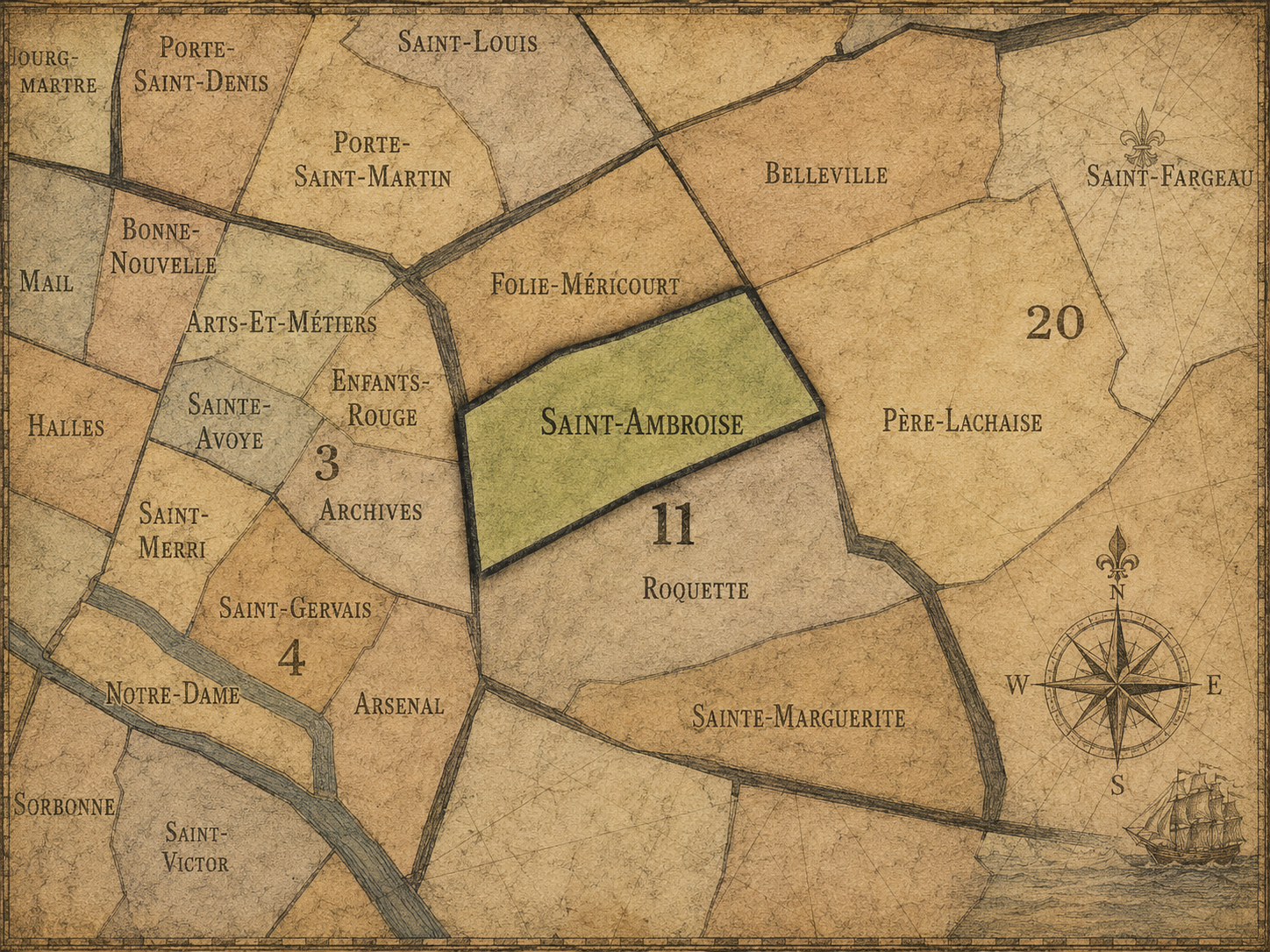
Saint-Ambroise
-
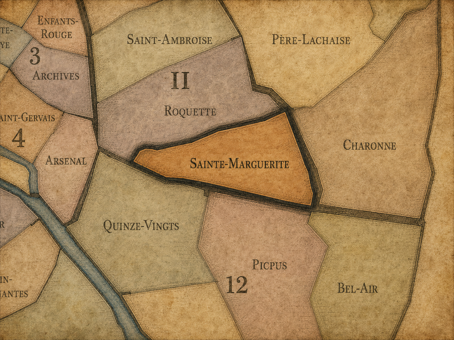
Sainte-Marguerite
The Photography
Visual Identity

The arrondissements do not share a single visual identity. Instead, they organize Paris into twenty broad visual fields, each gathering its own combination of landmarks, streetscapes, institutions, residential districts, commercial corridors, parks, rail stations, markets, cemeteries, and riverfront edges.
Some arrondissements are defined by monumental scale: royal palaces, ceremonial avenues, government buildings, museums, formal gardens, and internationally recognized landmarks. Others are shaped by hills, canals, rail gateways, apartment-lined boulevards, neighborhood markets, former village streets, industrial remnants, parks, or the quieter rhythms of residential Paris. The arrondissement system gives these varied landscapes a civic frame, allowing the city to be read not as one visual language, but as a sequence of overlapping Parisian atmospheres.
Through The Lens

Photographing the arrondissements means moving between the official map and the street-level experience. The camera does not treat each arrondissement as visually uniform. Instead, it looks for the recurring forms, textures, transitions, and contrasts that make each district legible: the geometry of boulevards, the shade of plane trees, the repetition of balconies, the rise of stairways, the curve of canals, the presence of rail stations, the opening of parks, the weight of monuments, and the intimacy of side streets.
On CityNeighborhoods, the arrondissement provides the frame, but the photograph comes from the encounter between map, movement, light, and observation. As the Paris photography is processed, this section will connect each arrondissement more directly to the project’s Photographic Lexicon: the visual strategies, recurring motifs, and compositional patterns that shape how the city is seen through the lens.
If you visit Paris, these ideas can help inspire your own photography.



Paris: J’Espere, Je Rêve, Je Vive
Paris Photo Gallery
Paris Field Notes
-
Field Note: August 18, 2025 | 07:58 AM
Conditions: 73°F | Humidity: 72%.
Within the park's interior, the glacial kettle ponds acted as humidity traps, creating a soft, hazy light that filtered through the old-growth oaks. The transition from the park's dense shade to the sun-drenched edges of Oakland Gardens highlighted the day's exceptional "picture-perfect" clarity.
There is a fleeting window in Queens where the humidity of August hasn't yet heavy-set, and the morning sun hits the canopy of Alley Pond Park at a perfect oblique angle. Arriving just before 8:00 AM, I watched the light break through the oaks and tulip trees, casting long, dramatic shadows across the wet grass. It’s in these quiet, golden moments that the park feels less like a city escape and more like the ancient glacial valley it actually is.
Other neighborhoods visited:











































































































Explore Paris
-

The twenty arrondissements form the civic spiral of Paris, organizing the city into its broad local districts of government, identity, and daily life.
-

Each arrondissement is divided into four official administrative quarters, giving Paris a more precise civic and geographic framework.
-

The conseils de quartier bring participation to street level, giving residents a voice in neighborhood needs, public space, and local civic life.
-

Les Deux Rives trace Paris through the Seine’s two banks, revealing how the Rive Droite and Rive Gauche shaped the city’s civic power, commerce, learning, art, and cultural identity.
-

Cultural neighborhoods reveal the Paris people recognize through history, cafés, architecture, memory, atmosphere, and local belonging.