
16e - PASSY
Les Conseils de Quartier
Explore This Page


Explore the Conseils de Quartier of the 16e — Passy.
Overview
Download the Paris Conseil de Quartier Map
Geographic Setting
The Conseils de Quartier of the 16e organize local civic life across Paris’s western edge, where grand residential avenues, embassies, museums, schools, gardens, sports grounds, village remnants, and the Bois de Boulogne shape one of the capital’s most distinctive civic landscapes. Stretching from Chaillot and the Seine-facing heights near Trocadéro to Auteuil, Passy, La Muette, Porte Dauphine, and the city’s western park boundary, the 16e is broad, green, and internally varied. Its geography is often associated with elegance and residential calm, but it also includes major cultural institutions, large transit corridors, stadiums, riverfront edges, commercial streets, and heavily visited viewpoints.
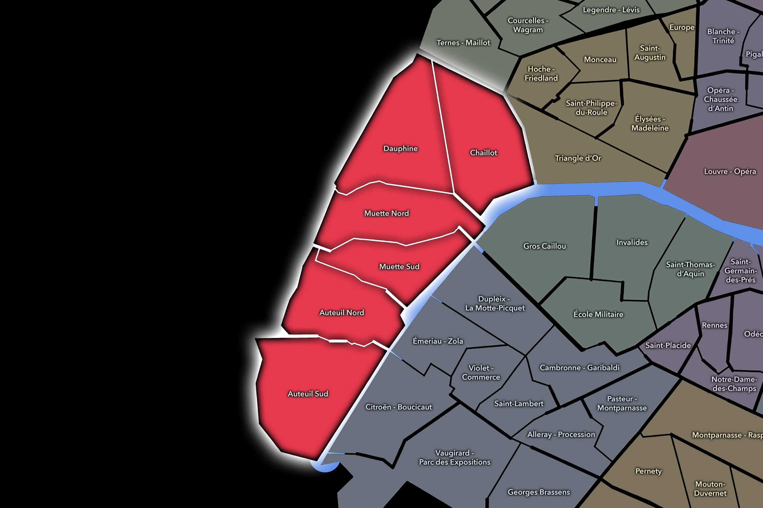
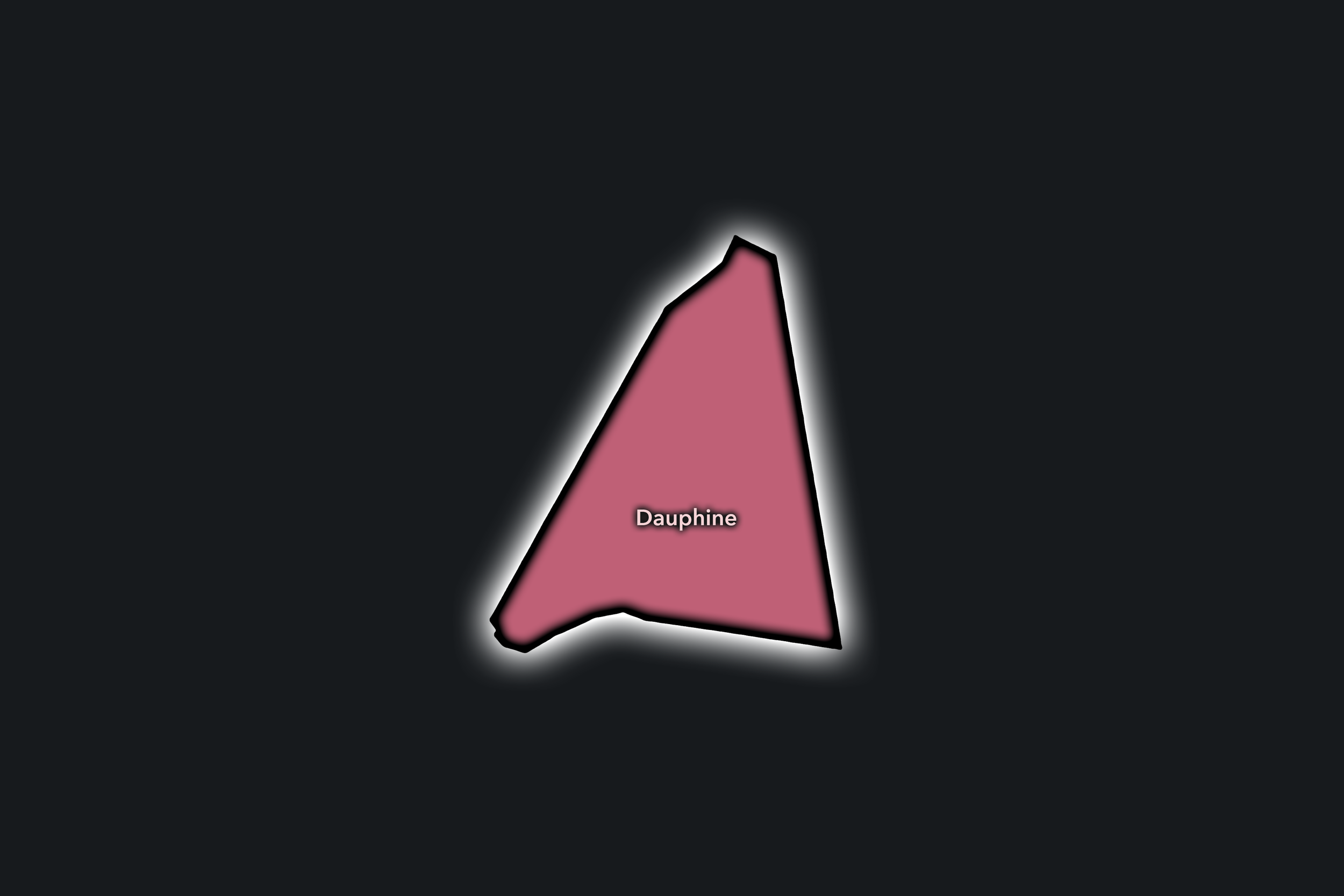
The 16e’s Conseil de Quartier structure divides this large western arrondissement into six civic territories: Auteuil Sud, Auteuil Nord, Muette Sud, Muette Nord, Dauphine, and Chaillot. This six-council structure gives the arrondissement a more refined participatory geography than the four official Administrative Quarters alone. It distinguishes between Auteuil’s residential and sports-oriented southern and northern sectors; the Muette / Passy landscape of village memory, embassies, schools, shopping streets, and hillside streets; Dauphine’s western gateway and Bois-adjacent environment; and Chaillot’s monumental, museum-rich, Seine-facing civic setting.
Together, these six CdQs reveal the 16e as more than a single image of affluent western Paris. The arrondissement moves between river views and park edges, quiet residential streets and major visitor destinations, old village centers and formal avenues, school corridors and embassy blocks, stadium grounds and museum terraces. The CdQ layer helps break this large district into smaller civic environments, making visible the different ways western Paris is lived, crossed, visited, protected, and maintained.
Civic Framework
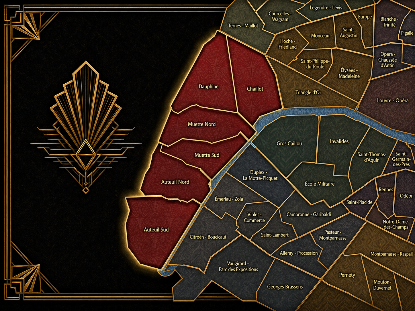
The 16e’s Conseils de Quartier provide a neighborhood-level civic structure for an arrondissement whose local life is shaped by scale, greenery, institutions, and residential continuity. The district includes major museums, embassies, schools, private and public gardens, sports venues, commercial streets, Metro and RER access, riverfront routes, and the powerful presence of the Bois de Boulogne. Its CdQs give residents, families, workers, students, institutions, visitors, and local associations a more precise scale for addressing public space, mobility, safety, greening, heritage, access, and neighborhood quality of life.
The six-council framework appears especially responsive to the arrondissement’s internal geography. Auteuil Sud and Auteuil Nord allow the large Auteuil area to be read through smaller civic territories, including residential streets, sports facilities, garden edges, schools, and the approaches to the Seine and the Bois. Muette Sud and Muette Nord distinguish the Passy / La Muette landscape, where shopping streets, embassies, schools, museums, hillside routes, and residential blocks form a dense local fabric. Dauphine gives shape to the western gateway around Porte Dauphine and the Bois-adjacent edge, while Chaillot organizes the monumental and cultural front of the arrondissement around Trocadéro, museums, broad avenues, and the Seine-facing relationship to the Eiffel Tower.
As a civic framework, the 16e’s CdQs help organize questions that differ from the dense commercial pressures of central Paris but are no less local: park and garden access, school streets, traffic on broad avenues, embassy and institutional security, preservation of residential character, museum and viewpoint visitation, sports-event circulation, accessibility around hills and riverfronts, and the balance between private quiet and public destination. The CdQ layer is valuable here because the 16e’s surface calm can hide a complex civic geography of parks, institutions, visitors, and neighborhood routines.
Local Expression
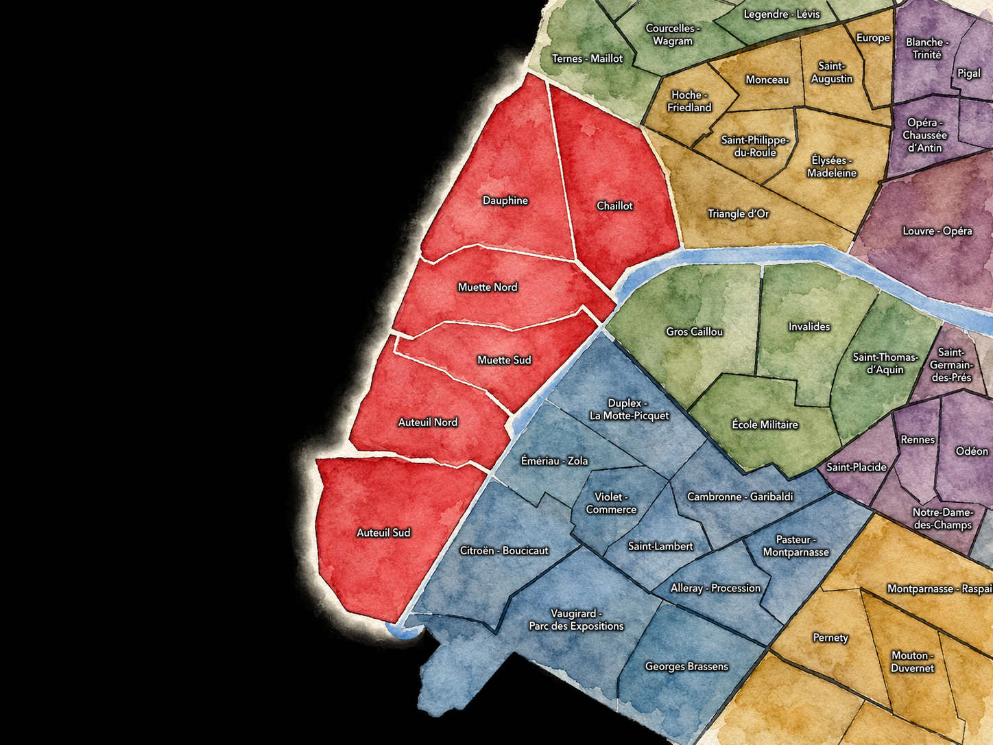
Viewed through its Conseils de Quartier, the 16e becomes a family of western Paris landscapes rather than a single residential identity. Chaillot expresses the arrondissement’s monumental and museum-facing side, where Trocadéro, Palais de Chaillot, major cultural institutions, embassies, river views, and visitor movement shape one of Paris’s most recognizable urban balconies. Dauphine brings the arrondissement toward the Bois de Boulogne, Porte Dauphine, broad avenues, schools, and the threshold between the formal city and its great western park.
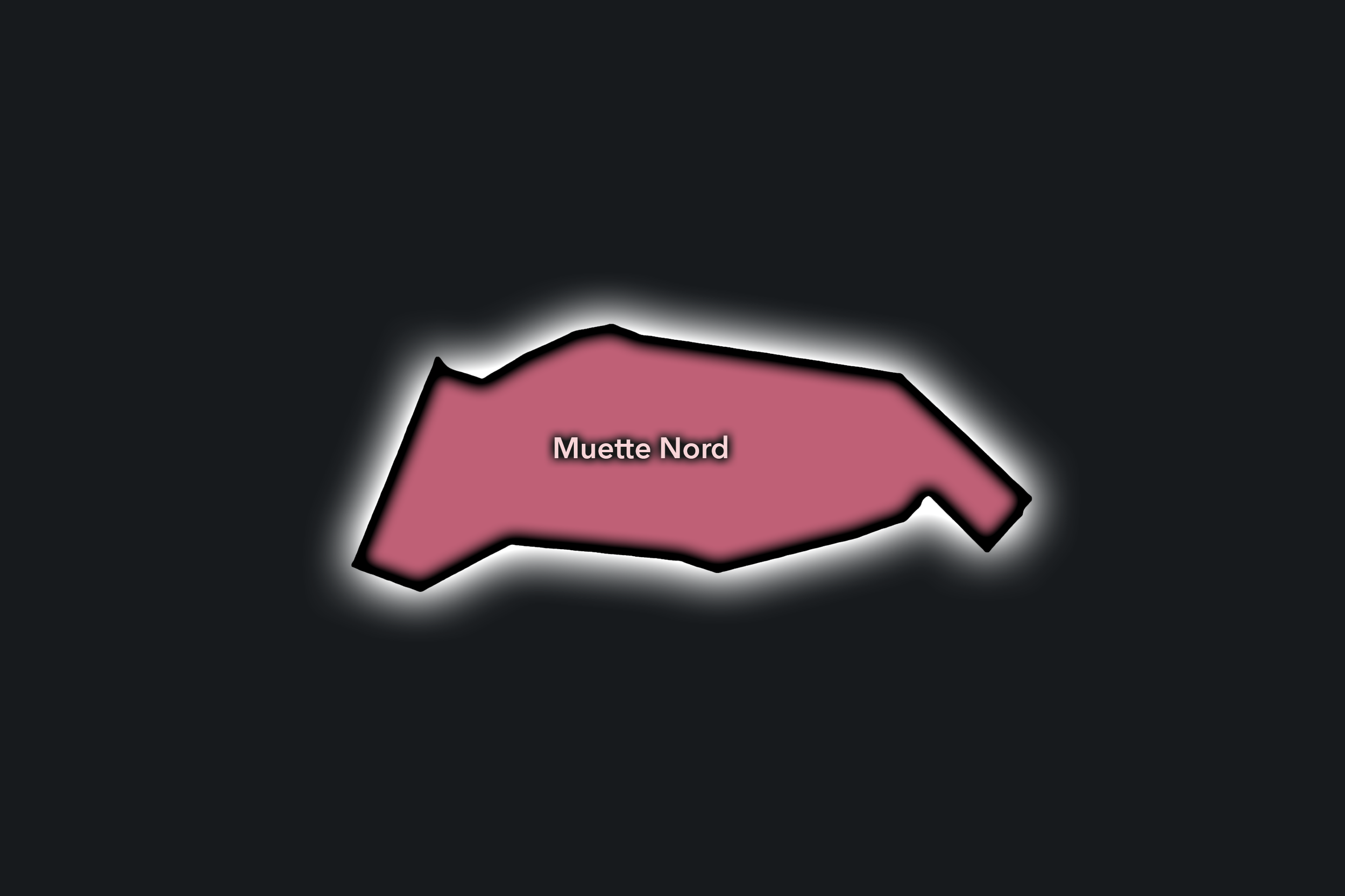
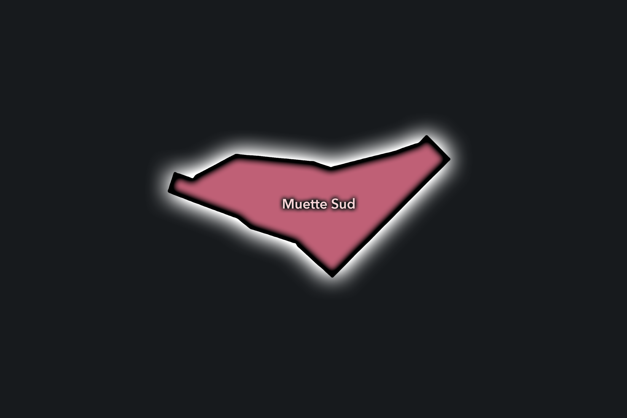
Muette Nord and Muette Sud reveal the 16e’s village-in-the-city character, where Passy, La Muette, shopping streets, schools, embassies, museums, hillside routes, and residential blocks create a refined but locally active civic landscape. Auteuil Nord and Auteuil Sud give the arrondissement a more spacious and garden-oriented expression, shaped by former village identity, sports grounds, residential avenues, church squares, schools, the Seine-side edge, and the green pull of the Bois de Boulogne.
The value of the CdQ layer in the 16e is that it makes visible the local structure beneath a district too often summarized by wealth, embassies, and elegant avenues. Through its six councils, the arrondissement can be read at the scale of the school gate, the museum terrace, the park entrance, the sports venue, the shopping street, the embassy block, the quiet residential square, and the river-view promenade. These CdQs reveal western Paris as a civic landscape of calm surfaces, strong institutions, green edges, and deeply rooted local geographies.
Les Conseils de Quartier
Auteuil Nord
Civic Profile
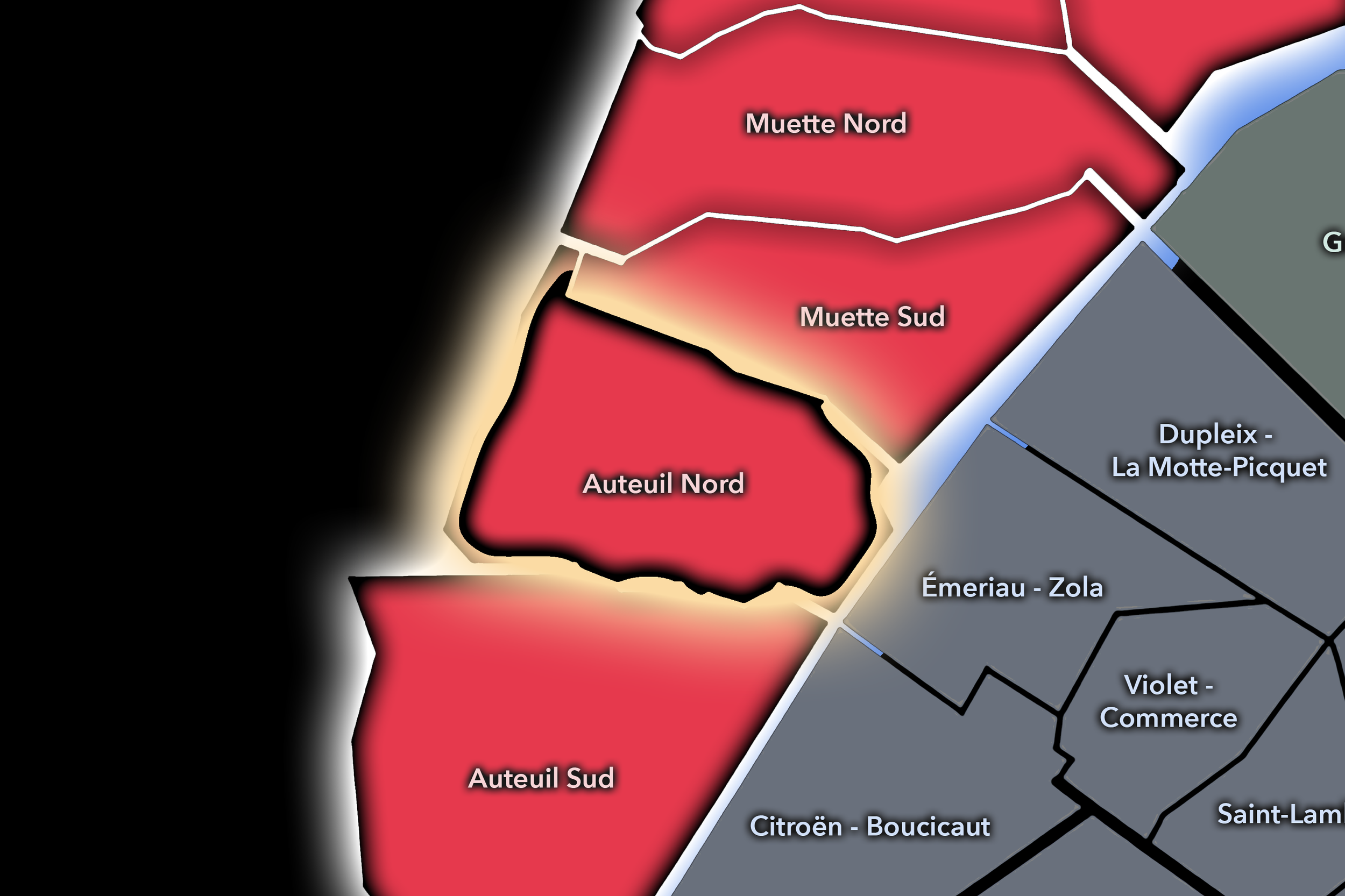
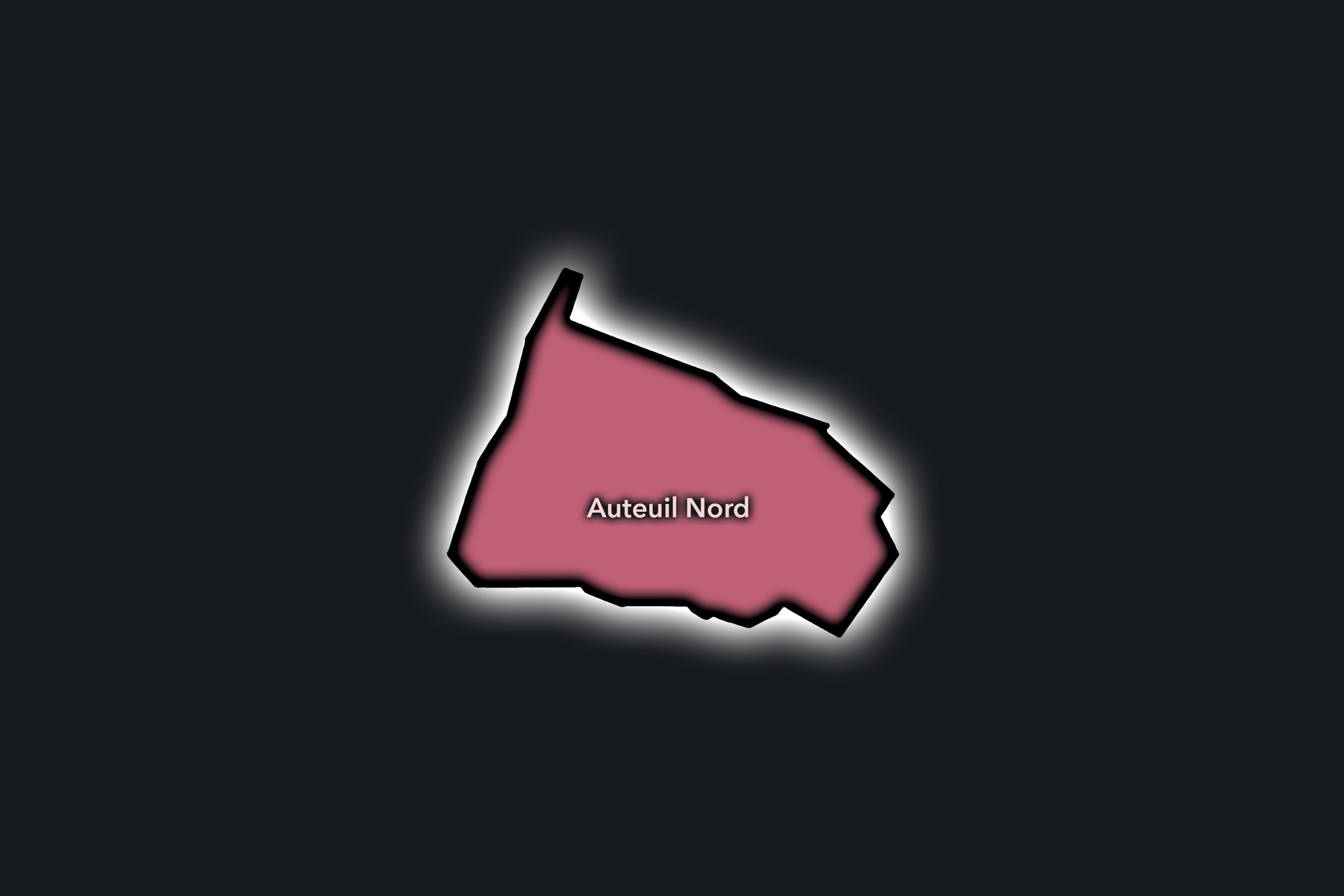
The Auteuil Nord Conseil de Quartier organizes the northern side of Auteuil, where village memory, residential streets, schools, villas, gardens, embassies, and the western park edge of the Bois de Boulogne create one of the 16e’s quieter civic landscapes. As a local territory, it sits between the formal avenues of Passy / Muette, the older heart of Auteuil, and the broad green pull of western Paris, giving civic shape to a district defined less by spectacle than by residential continuity and neighborhood routine.
On the ground, Auteuil Nord feels calm, leafy, and inward-looking. Its civic themes center on preserving residential character, managing traffic on major corridors, supporting school and family movement, maintaining access to green space, protecting small-scale local commerce, and keeping the area’s quieter streets connected to the larger public systems of the 16e. The CdQ layer is useful here because it separates the more domestic northern Auteuil landscape from the event-and-sports pressures of the southern section.
Auteuil Nord: At a Glance
A curated list for you.
-

Major Streets
Avenue Mozart
Rue d’Auteuil
Rue Jean de La Fontaine
Boulevard de Montmorency
Rue La Fontaine
-

Public Spaces & Landmarks
Fondation Le Corbusier / Maison La Roche nearby
Jardin des Serres d’Auteuil nearby
Square Tolstoï
Église Notre-Dame-d’Auteuil nearby
Bois de Boulogne access
-

Transit Access
Jasmin
Michel-Ange - Auteuil
Ranelagh
Église d’Auteuil nearby
Porte d’Auteuil nearby
-

Shopping & Dining
Avenue Mozart shops and cafés
Rue d’Auteuil local commerce
Auteuil neighborhood bakeries
Le Congrès Auteuil nearby
Local dining around Michel-Ange - Auteuil
-

Hotels & Attractions
Auteuil village streets
Fondation Le Corbusier nearby
Bois de Boulogne walking access
Jardin des Serres d’Auteuil nearby
Western 16e residential route
Auteuil Sud
Civic Profile
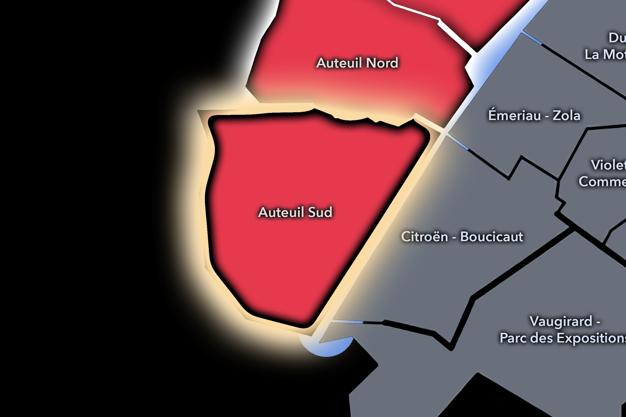
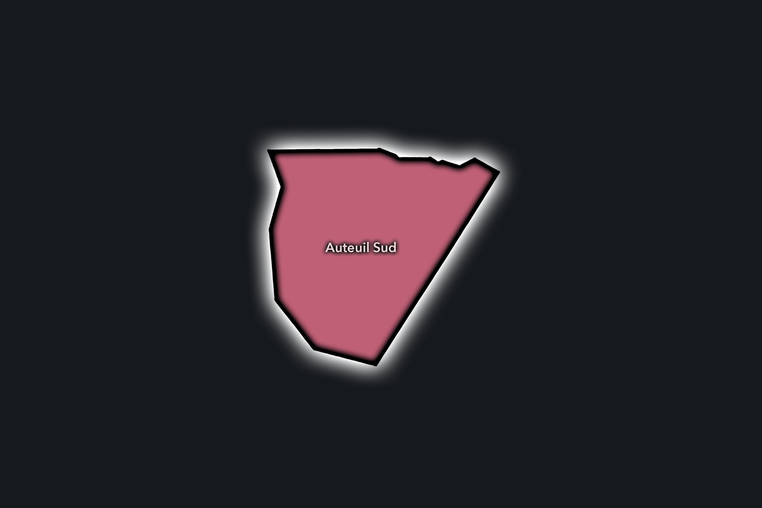
The Auteuil Sud Conseil de Quartier gives civic form to the southern side of Auteuil, where the western edge of Paris meets the Seine, the Bois de Boulogne, sports grounds, residential avenues, schools, churches, and the transitional corridors toward Boulogne-Billancourt. As a civic territory, it reflects one of the 16e’s clearest mixtures of old village identity and large-scale urban infrastructure: quiet streets, formal apartment blocks, stadiums, park access, river crossings, and neighborhood commerce all gathered into a distinctly western Paris landscape.
On the ground, Auteuil Sud feels spacious, residential, and strongly shaped by green and recreational edges. Its civic themes center on park and sports access, residential quality of life, traffic around major avenues and event venues, pedestrian comfort near the Seine and Bois, school and family routines, and the challenge of balancing neighborhood calm with the visitor movement generated by Roland-Garros, Parc des Princes, and the western gateways of Paris.
Auteuil Sud: At a Glance
A curated list for you.
-
Major Streets
Avenue de Versailles
Boulevard Exelmans
Rue d’Auteuil
Avenue Mozart
Boulevard Murat
-
Public Spaces & Landmarks
Bois de Boulogne
Stade Roland-Garros
Parc des Princes nearby
Église Notre-Dame-d’Auteuil
Seine riverfront
-
Transit Access
Porte d’Auteuil
Michel-Ange - Molitor
Église d’Auteuil
Exelmans
Chardon-Lagache
-
Shopping & Dining
Rue d’Auteuil village shops
Avenue Mozart cafés
Molitor rooftop / dining
Brasserie Auteuil
Local bakeries around Église d’Auteuil
-
Hotels & Attractions
Roland-Garros visitor district
Bois de Boulogne access
Molitor
Parc des Princes nearby
Auteuil village walking route
Chaillot
Civic Profile
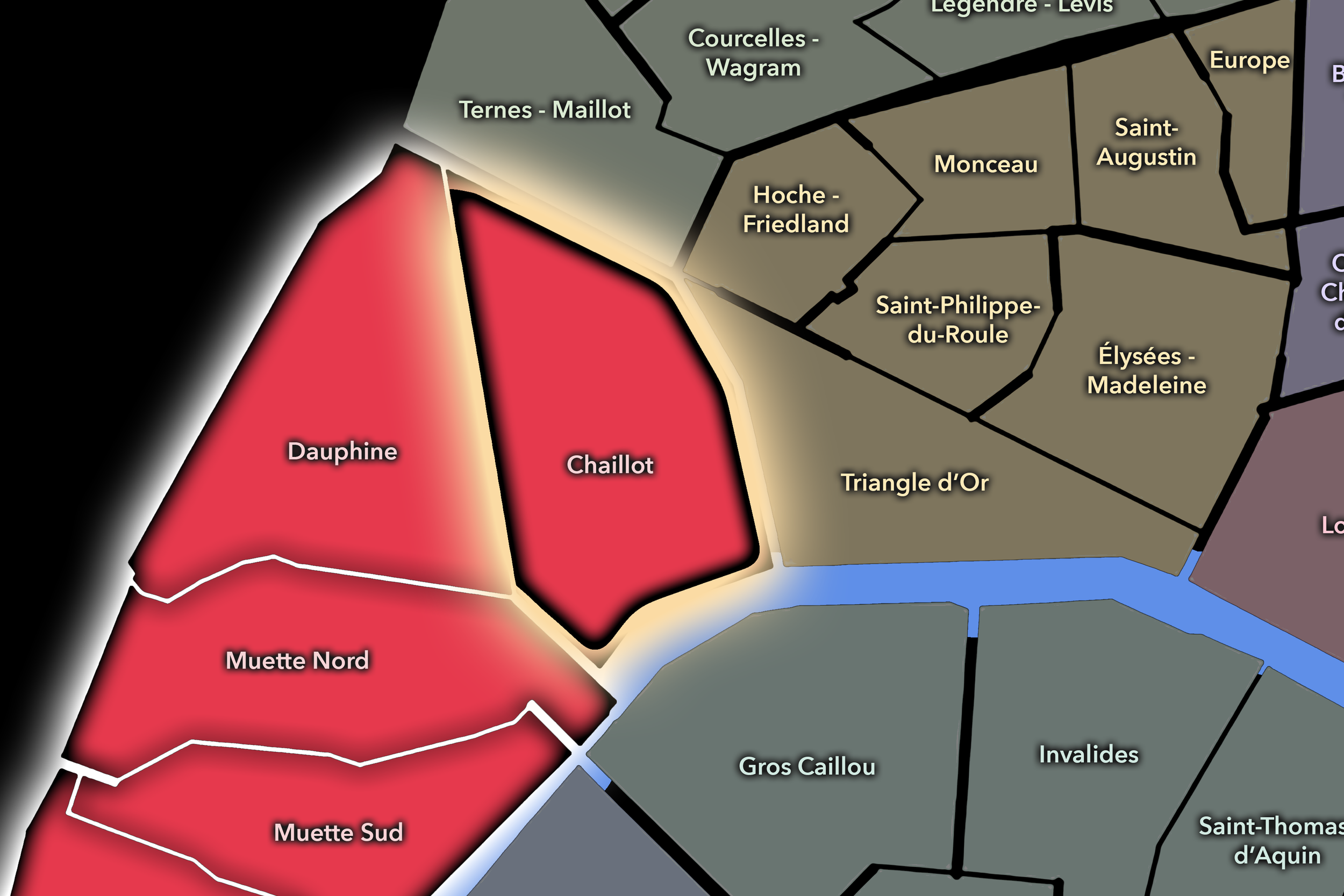
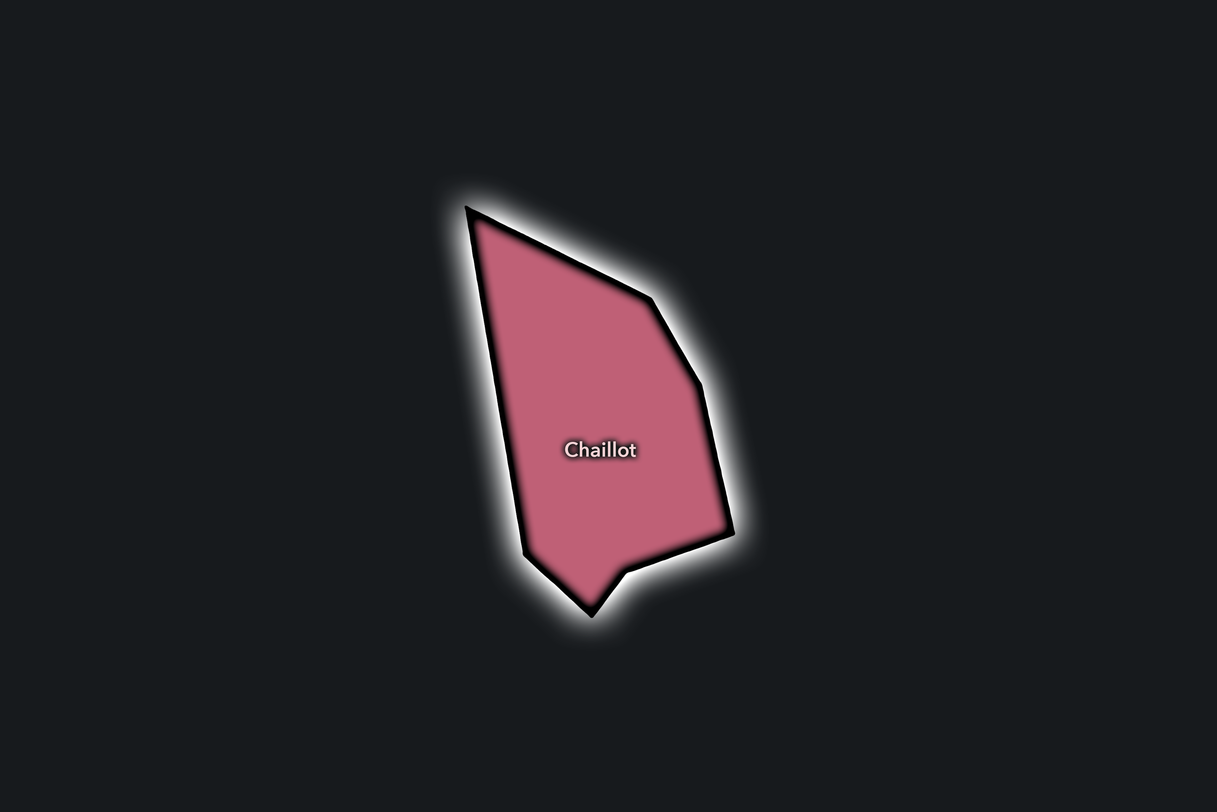
The Chaillot Conseil de Quartier gives civic shape to the 16e’s most monumental and visitor-facing eastern edge, where Trocadéro, Palais de Chaillot, museums, embassies, grand avenues, residential streets, and the Seine-facing view toward the Eiffel Tower form one of the city’s most recognizable urban balconies. As a civic territory, it brings together ceremonial Paris and neighborhood Paris: tourists, museum visitors, diplomats, residents, students, office workers, and local businesses all sharing a compact but highly visible district.
On the ground, Chaillot feels formal, international, and intensely photographed, but it also has a quieter residential and institutional life behind the main viewpoints. Its civic themes center on pedestrian circulation around Trocadéro, visitor pressure, museum access, security near embassies and institutions, traffic on major avenues, preservation of public spaces and views, and the challenge of keeping a world-famous landscape usable for the people who live and work nearby.
Chaillot: At a Glance
A curated list for you.
-
Major Streets
Avenue Kléber
Avenue d’Iéna
Avenue du Président Wilson
Rue de Longchamp
Avenue Georges-Mandel
-
Public Spaces & Landmarks
Trocadéro
Palais de Chaillot
Jardins du Trocadéro
Musée Guimet
Musée d’Art Moderne / Palais de Tokyo nearby
-
Transit Access
Trocadéro
Iéna
Boissière
Victor Hugo nearby
Pont de l’Alma nearby
-
Shopping & Dining
Avenue Kléber cafés and hotels
Trocadéro cafés
Carette Trocadéro
Girafe
Rue de Longchamp local dining
-
Hotels & Attractions
Trocadéro / Eiffel Tower viewpoint
Palais de Chaillot museum district
Musée Guimet
Palais de Tokyo nearby
Seine / Pont d’Iéna walking route
Dauphine
Civic Profile
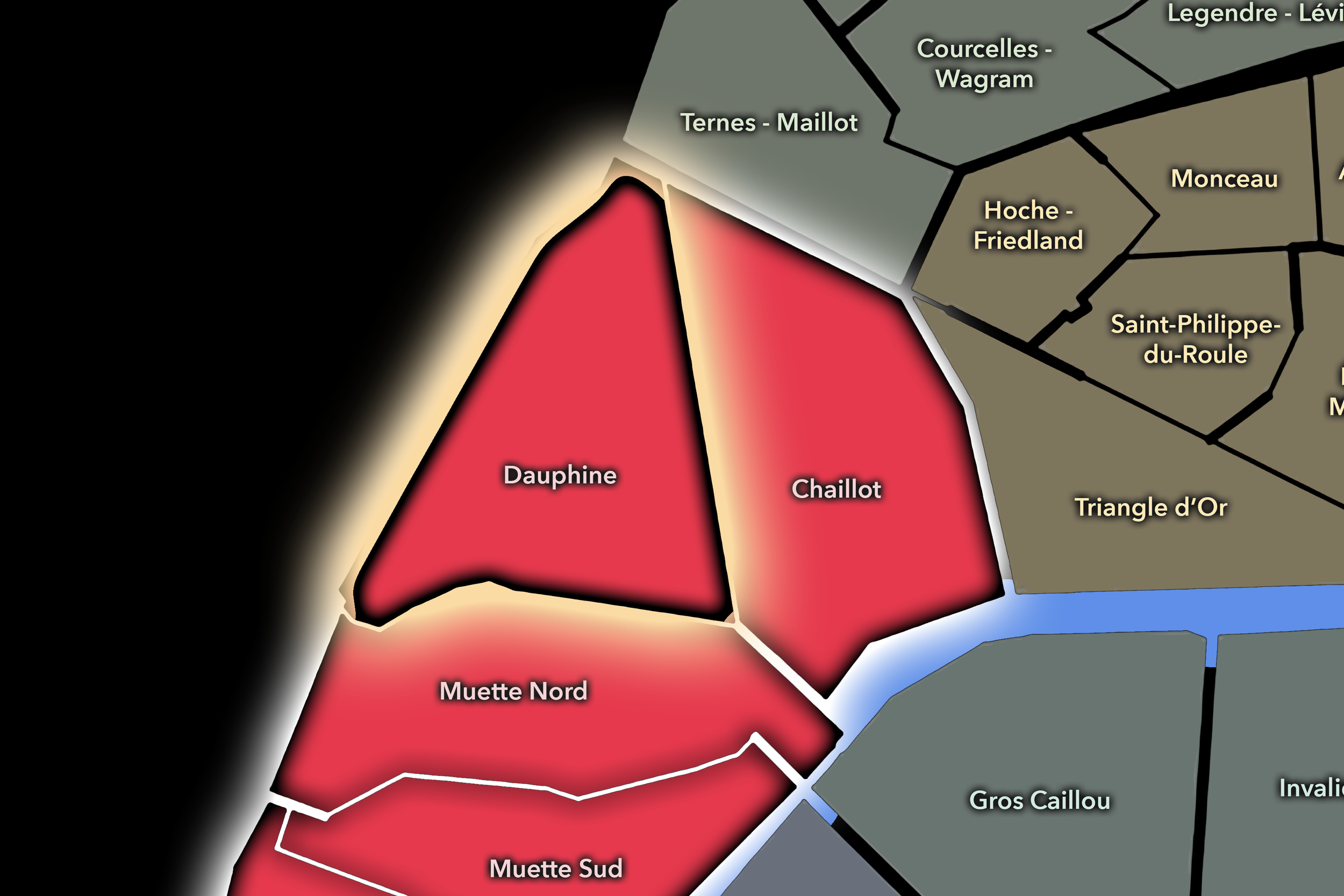
The Dauphine Conseil de Quartier gives civic form to the northwestern gateway of the 16e, where Porte Dauphine, Avenue Foch, the Bois de Boulogne edge, university and school institutions, embassies, residential avenues, sports grounds, and the city boundary meet. As a civic territory, it is shaped by thresholds: between Paris and Neuilly, formal avenues and parkland, residential calm and major traffic corridors, local schools and international institutions, neighborhood routines and large green-space access.
On the ground, Dauphine feels spacious, formal, and park-adjacent. Its civic themes center on traffic and pedestrian comfort around Porte Dauphine, access to the Bois de Boulogne, preservation of residential quiet, school and university movement, security around embassies and institutions, and the challenge of making a broad western gateway function as a livable local district rather than merely a passage between the city and its edge.
Dauphine: At a Glance
A curated list for you.
-
Major Streets
Avenue Foch
Avenue Bugeaud
Boulevard Flandrin
Avenue Victor-Hugo
Avenue de Malakoff
-
Public Spaces & Landmarks
Porte Dauphine
Bois de Boulogne
Université Paris Dauphine - PSL
Square Alexandre-et-René-Parodi
Avenue Foch gardens
-
Transit Access
Porte Dauphine
Avenue Foch RER
Victor Hugo nearby
Argentine nearby
Porte Maillot nearby
-
Shopping & Dining
Avenue Victor-Hugo shops and cafés
Porte Dauphine neighborhood cafés
Le Flandrin
Restaurants around Victor Hugo
Bois de Boulogne park cafés nearby
-
Hotels & Attractions
Bois de Boulogne access
Fondation Louis Vuitton nearby
Jardin d’Acclimatation nearby
Avenue Foch walking route
Porte Maillot / Palais des Congrès nearby
Muette Nord
Civic Profile
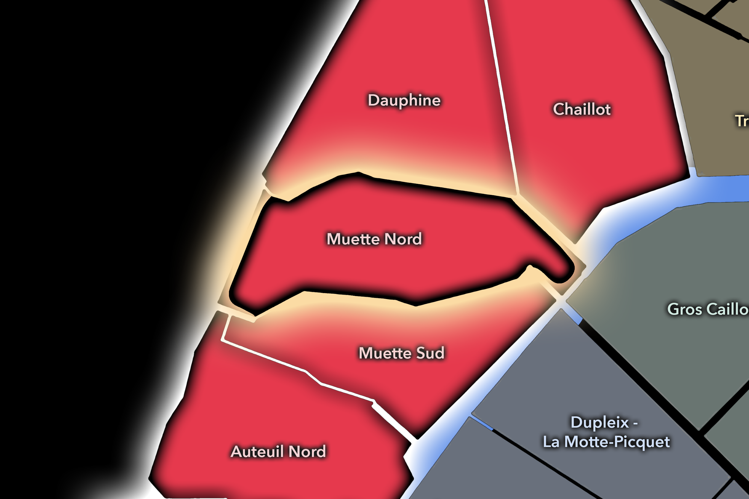
The Muette Nord Conseil de Quartier gives civic shape to the northern side of La Muette and Passy, where the 16e opens toward the Bois de Boulogne, the lower lake, residential avenues, schools, embassies, museums, gardens, and the Seine-facing approach toward Trocadéro. As a civic territory, it brings together some of the arrondissement’s most characteristic western Paris elements: opulent apartment buildings, private mansions, local shops, museum destinations, garden landscapes, and broad streets that feel both residential and institutional. Descriptions of Muette Nord emphasize its extension from the Bois de Boulogne and the lower lake toward the Seine at Pont d’Iéna, as well as its schools, mansions, green spaces such as Jardin du Ranelagh, and proximity to museums.
On the ground, Muette Nord feels elegant, green, and somewhat secluded, though not disconnected. Its civic themes center on preserving residential character, maintaining access to gardens and cultural institutions, managing school and family movement, supporting local commerce near La Muette and Passy, and balancing neighborhood quiet with visitor traffic to museums, Trocadéro, and the Bois de Boulogne. The CdQ layer is especially useful here because it distinguishes the formal, park-facing northern Muette landscape from the more village-commercial character of Muette Sud.
Muette Nord: At a Glance
A curated list for you.
-
Major Streets
Avenue Henri-Martin
Chaussée de la Muette
Avenue Raphaël
Rue de Passy
Avenue Ingres
-
Public Spaces & Landmarks
Jardin du Ranelagh
Musée Marmottan Monet
OECD / Château de la Muette
Bois de Boulogne edge
Maison de la Radio nearby
-
Transit Access
La Muette
Ranelagh
Rue de la Pompe nearby
Boulainvilliers RER
Avenue Henri-Martin RER nearby
-
Shopping & Dining
Rue de Passy shopping street
La Muette cafés and restaurants
Le Rallye de Passy
La Rotonde de la Muette
Local food shops around Passy
-
Hotels & Attractions
Musée Marmottan Monet
Jardin du Ranelagh
Bois de Boulogne / lower lake access
Trocadéro nearby
Passy / La Muette residential walking route
Muette Sud
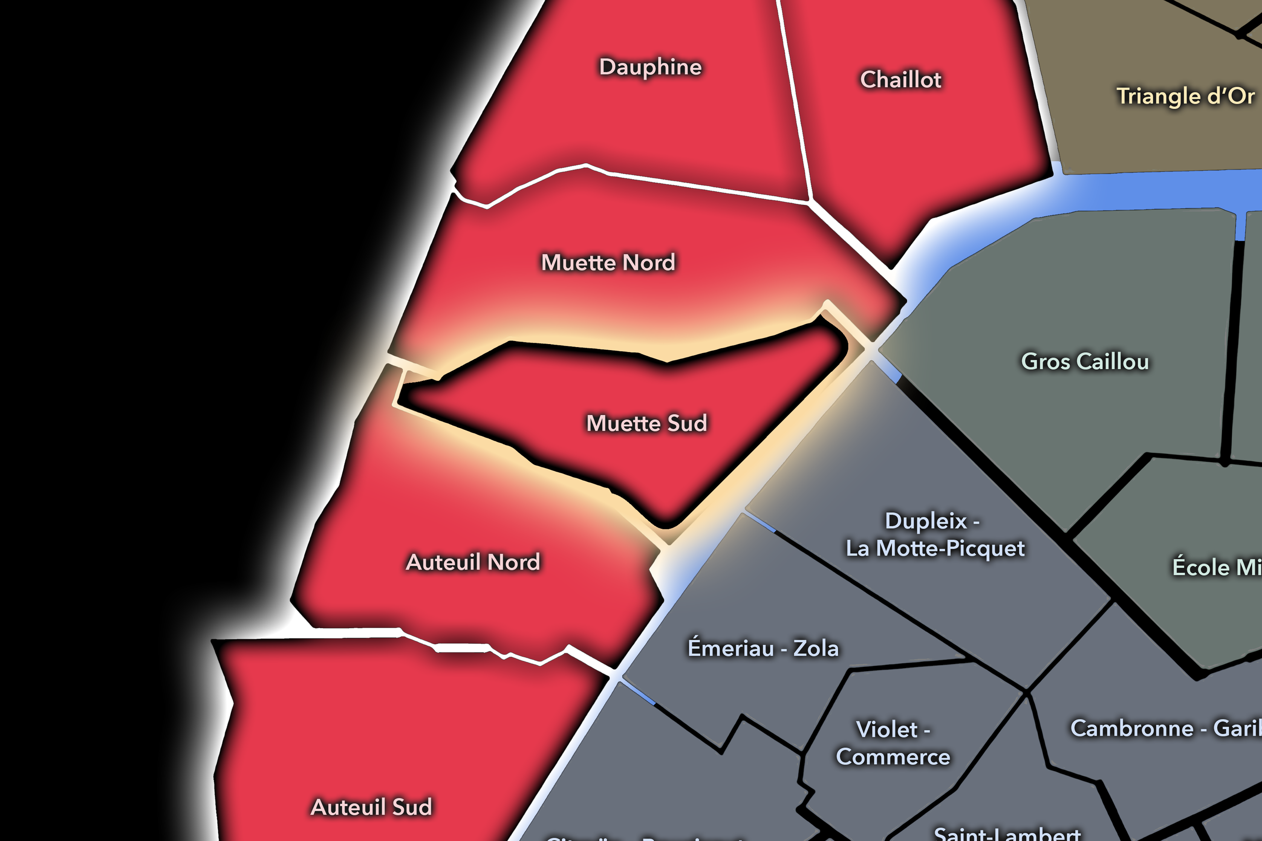
The Muette Sud Conseil de Quartier organizes one of the 16e’s most village-like and residential civic landscapes, where Passy, Ranelagh, Rue de l’Annonciation, Rue de Passy, Maison de Balzac, schools, gardens, shops, cafés, and the slopes toward the Seine create a distinctive local center. Its geography is shaped by the older Passy village fabric and by the movement between La Muette, the river, the 15e edge, and the quieter residential streets that make this part of the 16e feel more intimate than the formal avenues around Chaillot or Dauphine. The neighborhood is often described as lively and family-oriented, stretching from Porte de Passy toward the Seine and including anchors such as Maison de Balzac and Théâtre du Ranelagh.
On the ground, Muette Sud feels calm, comfortable, and unusually local for the 16e. Rue de Passy and Rue de l’Annonciation give it a strong shopping and market-street rhythm, while Ranelagh, Maison de Balzac, schools, cafés, and residential blocks preserve the feeling of a village within the city. Its civic themes center on local commerce, pedestrian comfort, school and family movement, preservation of village-like streets, access to gardens, and the balance between residential life, visitor interest, and the district’s polished western Paris character.
Civic Profile
Muette Sud: At a Glance
A curated list for you.
-
Major Streets
Rue de Passy
Rue de l’Annonciation
Rue Raynouard
Avenue Mozart
Chaussée de la Muette
-
Public Spaces & Landmarks
Maison de Balzac
Jardin du Ranelagh
Théâtre du Ranelagh
Passy village streets
Seine / Pont de Bir-Hakeim nearby
-
Transit Access
La Muette
Passy
Ranelagh
Boulainvilliers RER
Avenue du Président Kennedy RER nearby
-
Shopping & Dining
Rue de Passy shopping street
Rue de l’Annonciation food shops
Marché de Passy
La Marée Passy
Aéro, Place de Passy
-
Hotels & Attractions
Maison de Balzac
Passy village walking route
Jardin du Ranelagh
Eiffel Tower views from Passy edge
Maison de la Radio nearby
Neighborhood Connections
Every Conseil de Quartier belongs to a wider Parisian fabric.
-
19e — Buttes-Chaumont
-
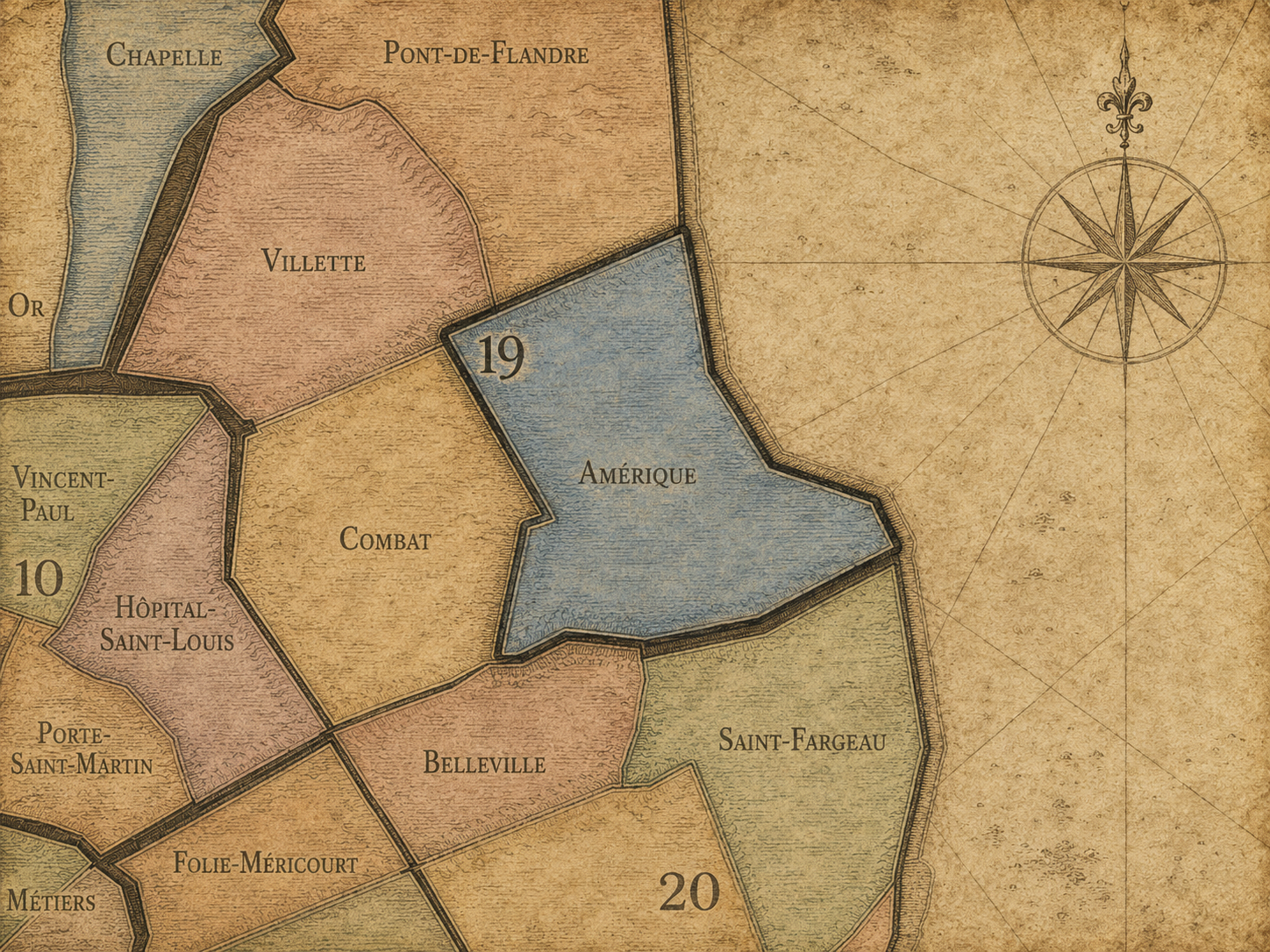
Amérique
-
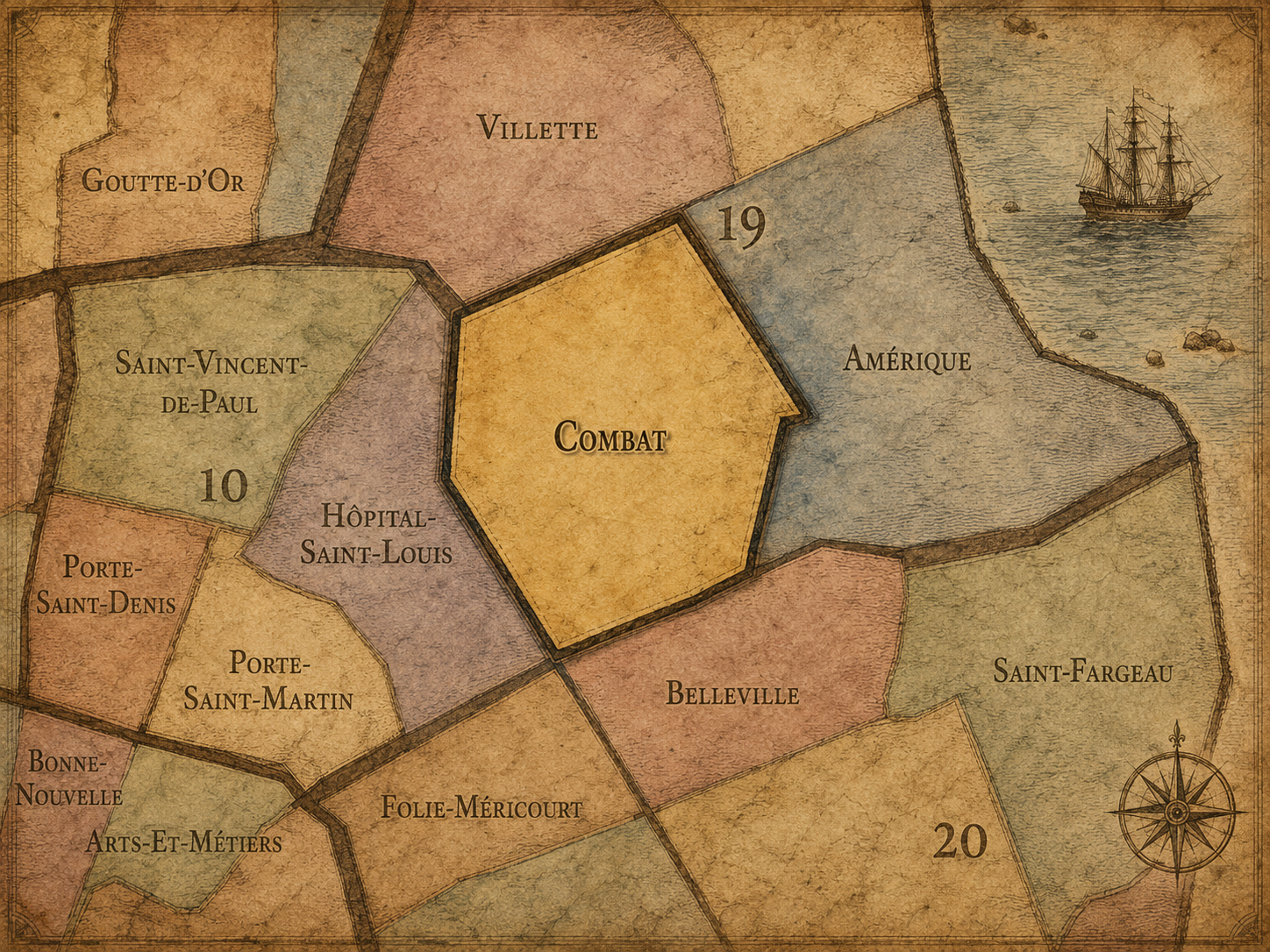
Combat
-
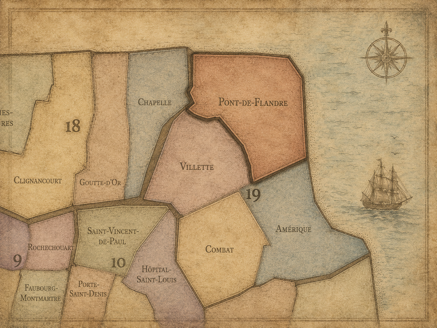
Pont-de-Flandre
-
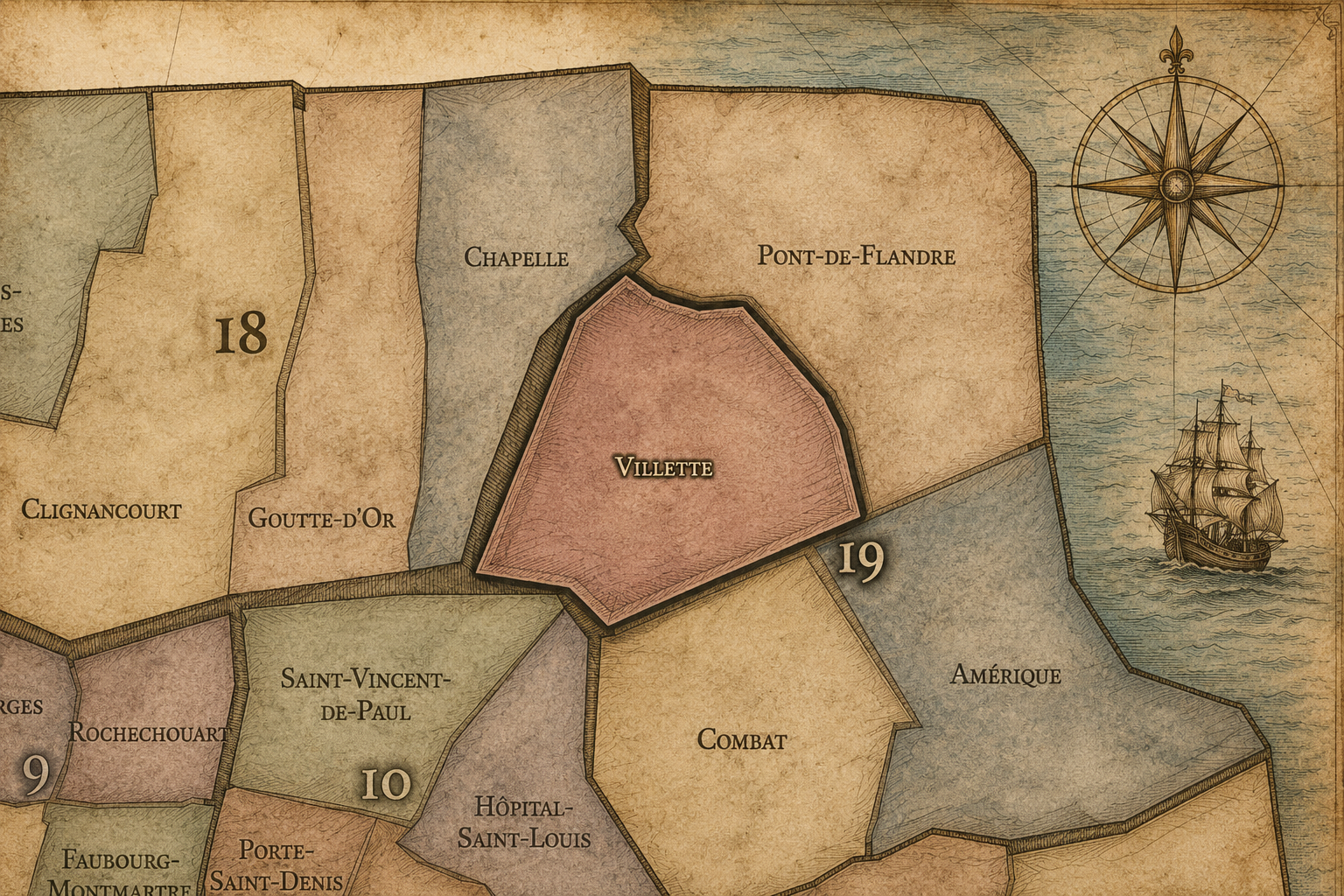
Villette
The Photography
Visual Identity

The arrondissements do not share a single visual identity. Instead, they organize Paris into twenty broad visual fields, each gathering its own combination of landmarks, streetscapes, institutions, residential districts, commercial corridors, parks, rail stations, markets, cemeteries, and riverfront edges.
Some arrondissements are defined by monumental scale: royal palaces, ceremonial avenues, government buildings, museums, formal gardens, and internationally recognized landmarks. Others are shaped by hills, canals, rail gateways, apartment-lined boulevards, neighborhood markets, former village streets, industrial remnants, parks, or the quieter rhythms of residential Paris. The arrondissement system gives these varied landscapes a civic frame, allowing the city to be read not as one visual language, but as a sequence of overlapping Parisian atmospheres.
Through The Lens

Photographing the arrondissements means moving between the official map and the street-level experience. The camera does not treat each arrondissement as visually uniform. Instead, it looks for the recurring forms, textures, transitions, and contrasts that make each district legible: the geometry of boulevards, the shade of plane trees, the repetition of balconies, the rise of stairways, the curve of canals, the presence of rail stations, the opening of parks, the weight of monuments, and the intimacy of side streets.
On CityNeighborhoods, the arrondissement provides the frame, but the photograph comes from the encounter between map, movement, light, and observation. As the Paris photography is processed, this section will connect each arrondissement more directly to the project’s Photographic Lexicon: the visual strategies, recurring motifs, and compositional patterns that shape how the city is seen through the lens.
If you visit Paris, these ideas can help inspire your own photography.



Paris: J’Espere, Je Rêve, Je Vive
Paris Photo Gallery
Paris Field Notes
-
Field Note: August 18, 2025 | 07:58 AM
Conditions: 73°F | Humidity: 72%.
Within the park's interior, the glacial kettle ponds acted as humidity traps, creating a soft, hazy light that filtered through the old-growth oaks. The transition from the park's dense shade to the sun-drenched edges of Oakland Gardens highlighted the day's exceptional "picture-perfect" clarity.
There is a fleeting window in Queens where the humidity of August hasn't yet heavy-set, and the morning sun hits the canopy of Alley Pond Park at a perfect oblique angle. Arriving just before 8:00 AM, I watched the light break through the oaks and tulip trees, casting long, dramatic shadows across the wet grass. It’s in these quiet, golden moments that the park feels less like a city escape and more like the ancient glacial valley it actually is.
Other neighborhoods visited:











































































































Explore Paris
-

The twenty arrondissements form the civic spiral of Paris, organizing the city into its broad local districts of government, identity, and daily life.
-

Each arrondissement is divided into four official administrative quarters, giving Paris a more precise civic and geographic framework.
-

The conseils de quartier bring participation to street level, giving residents a voice in neighborhood needs, public space, and local civic life.
-

Les Deux Rives trace Paris through the Seine’s two banks, revealing how the Rive Droite and Rive Gauche shaped the city’s civic power, commerce, learning, art, and cultural identity.
-

Cultural neighborhoods reveal the Paris people recognize through history, cafés, architecture, memory, atmosphere, and local belonging.