
17e - BATIGNOLLES-MONCEAU
Les Conseils de Quartier
Explore This Page


Explore the Conseils de Quartier of the 17e — Batignolles-Monceau.
Overview
Download the Paris Conseil de Quartier Map
Geographic Setting
The Conseils de Quartier of the 17e organize local civic life across one of Paris’s clearest transition zones between central elegance, village-like neighborhood fabric, former industrial edges, and contemporary redevelopment. Stretching from the western approaches around Ternes, Maillot, Wagram, and Courcelles toward Batignolles, Épinettes, Bessières, Guy Môquet, and the Martin Luther King district, the 17e brings together Haussmannian avenues, residential side streets, market corridors, rail edges, office zones, new parks, schools, local shopping streets, and the evolving northwestern boundary of the city.
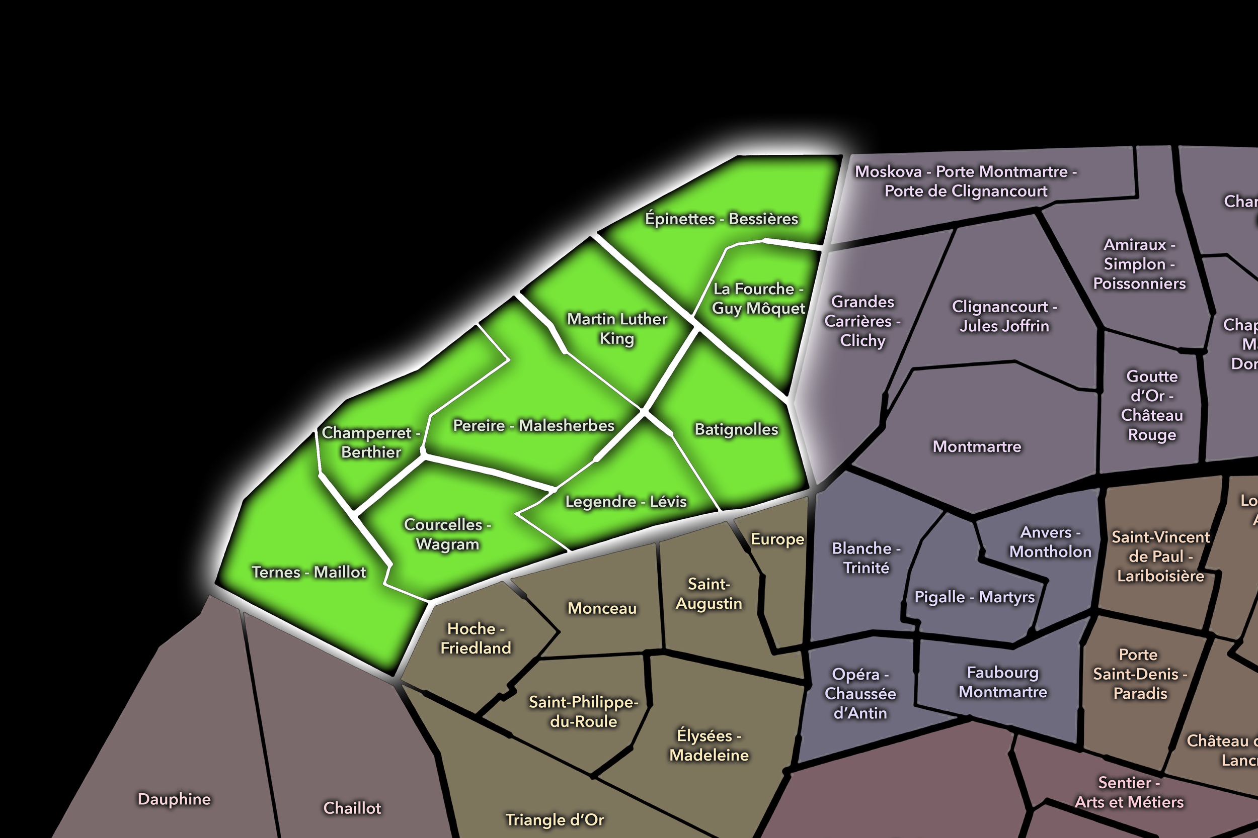
The 17e’s Conseil de Quartier structure divides this landscape into nine civic territories: Ternes - Maillot, Courcelles - Wagram, Champerret - Berthier, Pereire - Malesherbes, Legendre - Lévis, Batignolles, Épinettes - Bessières, La Fourche - Guy Môquet, and Martin Luther King. This nine-council structure gives the arrondissement a more granular participatory geography than the four official Administrative Quarters alone. It allows the CdQ layer to distinguish between the grand western avenues, the residential-commercial fabric of Lévis and Batignolles, the denser northern streets of Épinettes and La Fourche, the rail-and-edge conditions near Bessières and Berthier, and the newer urban landscape around Parc Martin Luther King.
Together, these nine CdQs reveal the 17e as an arrondissement of contrasts and thresholds. The western side connects to the formal, affluent, and office-oriented fabric near the 8e and the Arc de Triomphe. The center gathers a more local neighborhood life around Lévis, Batignolles, and residential side streets. The north and northeast bring the arrondissement toward denser apartment blocks, working-city memory, rail infrastructure, new development, and the city’s edge. The CdQ layer helps make those internal differences legible at a scale closer to daily life.
Civic Framework
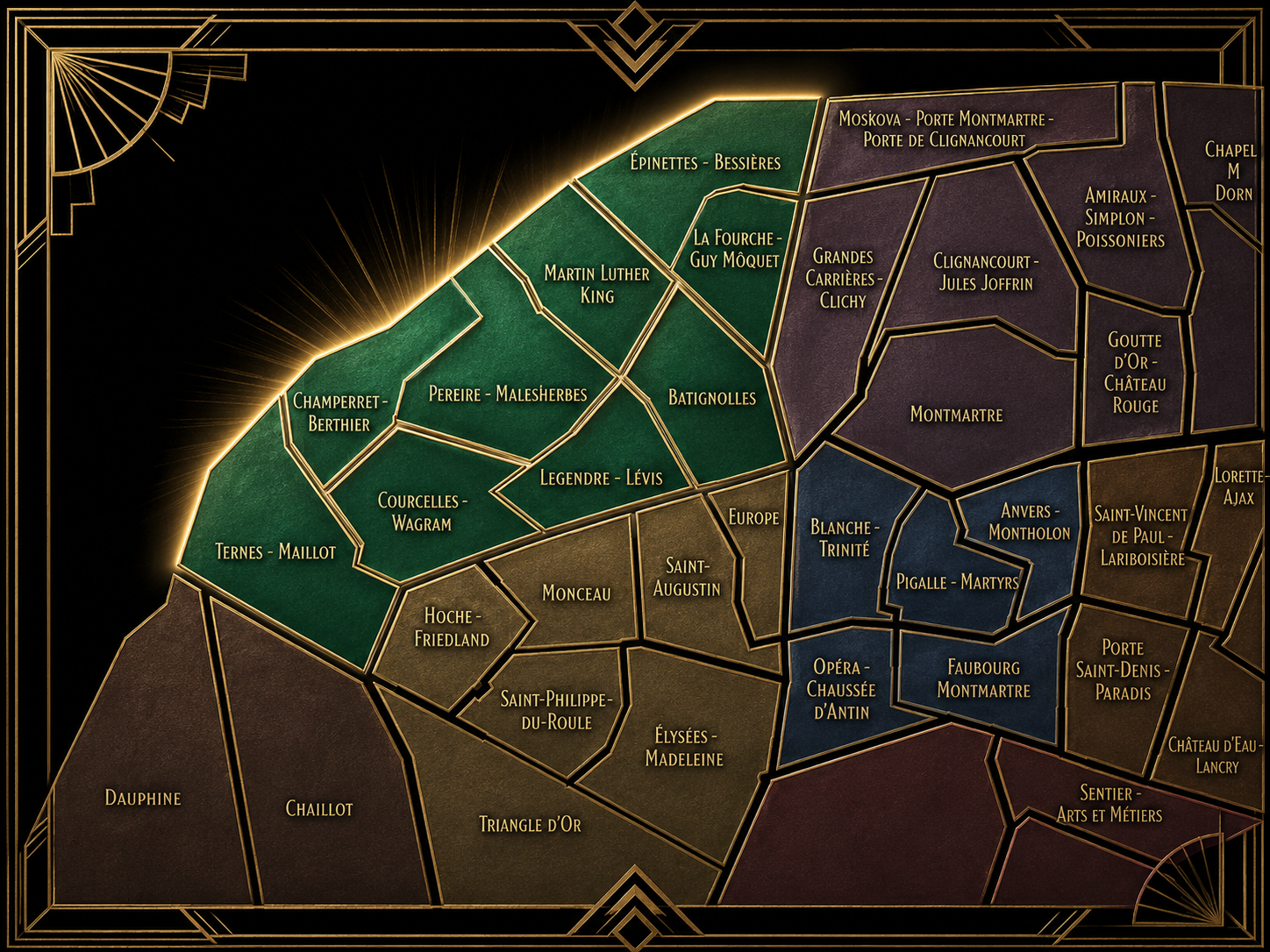
The 17e’s Conseils de Quartier provide a neighborhood-level civic structure for an arrondissement whose local identity changes markedly from west to east and south to north. The district includes major avenues, residential streets, markets, schools, parks, rail corridors, office zones, transit hubs, redevelopment areas, commercial streets, and boundary conditions along the edge of Paris. Its CdQs give residents, workers, shopkeepers, families, students, commuters, and local institutions a more precise scale for discussing public space, mobility, development, greening, services, and neighborhood quality of life.
The nine-council framework appears especially responsive to the 17e’s varied urban fabric. Ternes - Maillot, Courcelles - Wagram, Champerret - Berthier, and Pereire - Malesherbes give civic shape to the arrondissement’s western and northwestern avenues, where offices, residences, hotels, transit, and edge infrastructure meet. Legendre - Lévis and Batignolles distinguish the strong neighborhood-commercial and village-like identities at the arrondissement’s center. Épinettes - Bessières and La Fourche - Guy Môquet organize denser northern districts shaped by residential streets, transit, local commerce, and the borderlands with the 18e. Martin Luther King gives form to the arrondissement’s contemporary redevelopment landscape, where new housing, parks, offices, rail-adjacent land, and public-space design have reshaped the northeast of the 17e.
As a civic framework, the 17e’s CdQs help organize questions of housing, redevelopment, park access, school streets, commercial vitality, traffic, pedestrian comfort, transit connections, public-space maintenance, and the balance between older neighborhood life and newer urban projects. The CdQ layer is especially useful here because the 17e is not easily summarized by one identity: it is simultaneously Haussmannian, village-like, residential, commercial, infrastructural, and in places still visibly transforming.
Local Expression
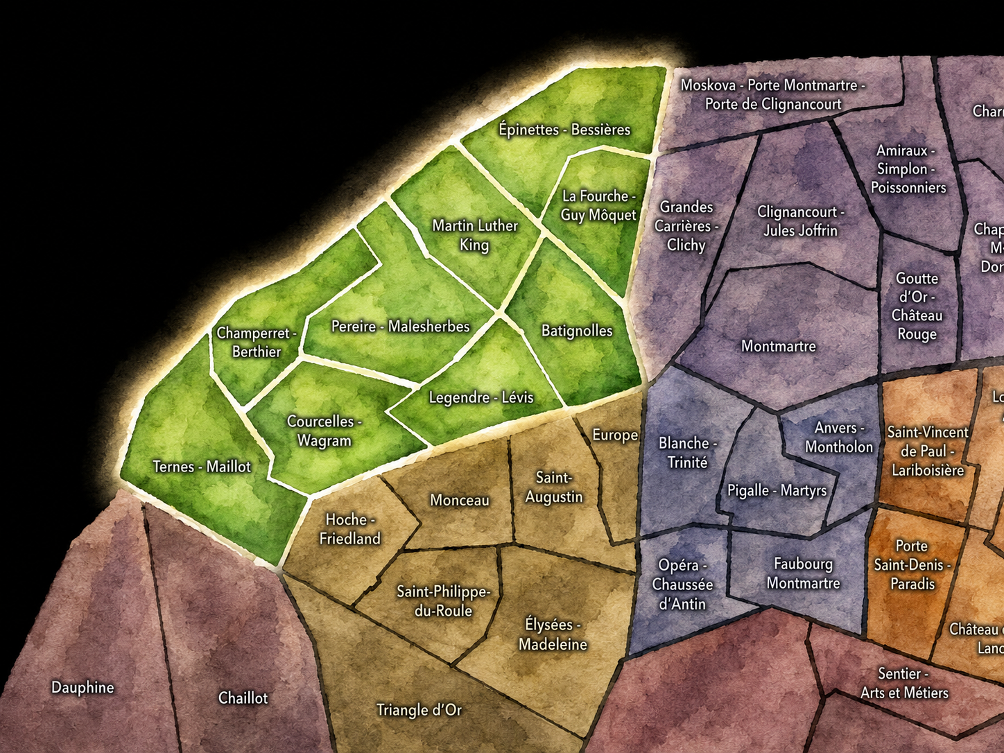
Viewed through its Conseils de Quartier, the 17e becomes a family of northwestern Paris landscapes rather than a single Batignolles-Monceau identity. Ternes - Maillot and Courcelles - Wagram express the arrondissement’s grand western face, shaped by broad avenues, hotels, offices, residential buildings, and the approach toward Porte Maillot and the Arc de Triomphe. Champerret - Berthier and Pereire - Malesherbes bring the district toward a more transitional fabric of avenues, rail edges, business corridors, and residential streets.
Legendre - Lévis and Batignolles reveal the arrondissement’s strongest local-neighborhood expression, where market streets, cafés, schools, small shops, residential blocks, and village-like street life give the 17e much of its everyday character. Épinettes - Bessières and La Fourche - Guy Môquet draw the arrondissement toward denser northern Paris, with transit corridors, working-class memory, residential streets, local commerce, and connections to the 18e. Martin Luther King gives the 17e its most contemporary expression, centered on new parks, new housing, public-space redesign, and the transformation of former rail-adjacent land.
The value of the CdQ layer in the 17e is that it captures the arrondissement’s changing civic texture. Through its nine councils, the 17e can be read at the scale of the market street, the park entrance, the school block, the rail edge, the boulevard crossing, the café terrace, the new development zone, and the residential side street. These CdQs reveal a Paris of continuity and change: elegant in places, village-like in others, dense and local in the north, and still actively being remade along its northeastern edge.
Les Conseils de Quartier
Batignolles
Civic Profile
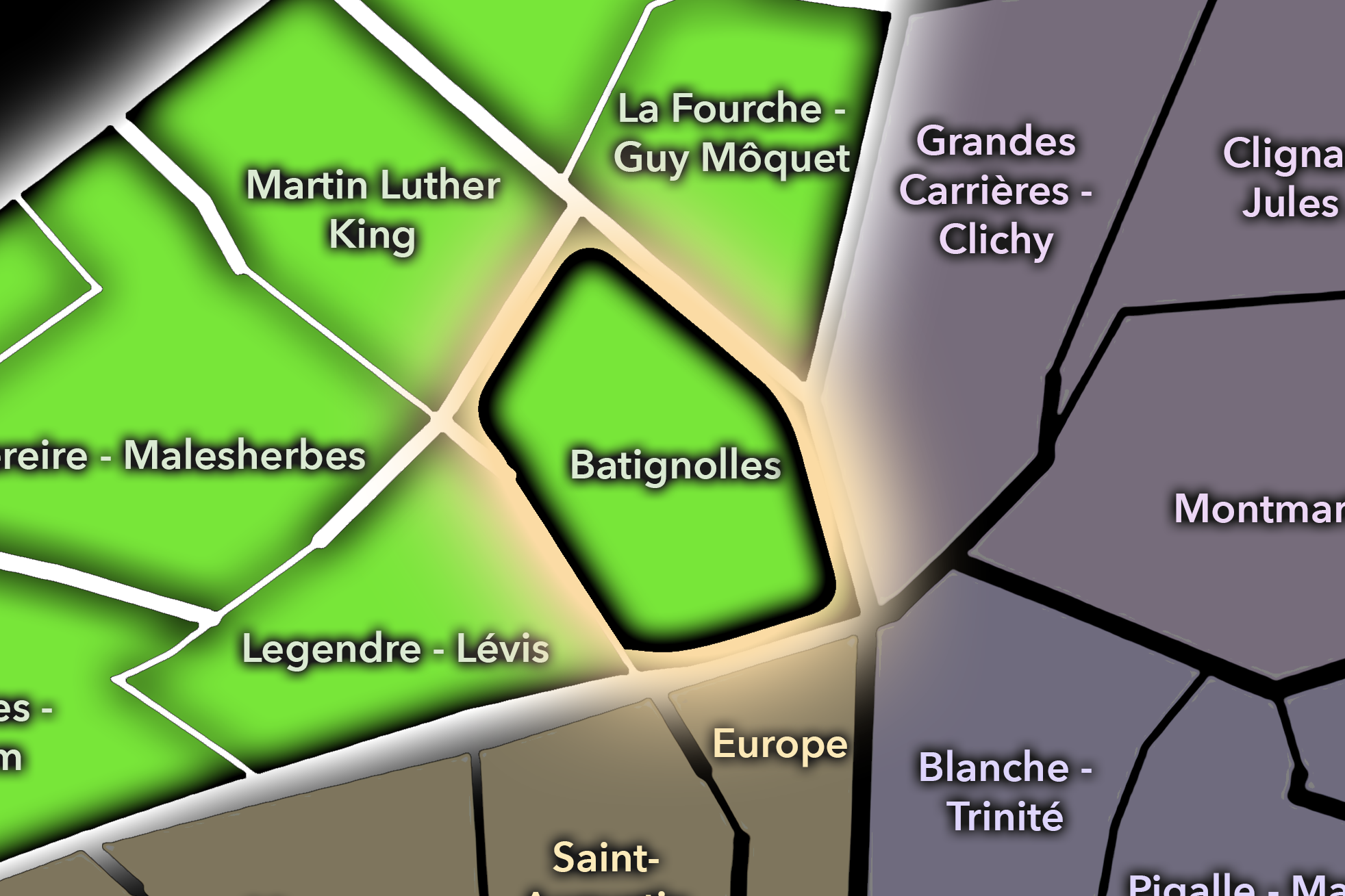
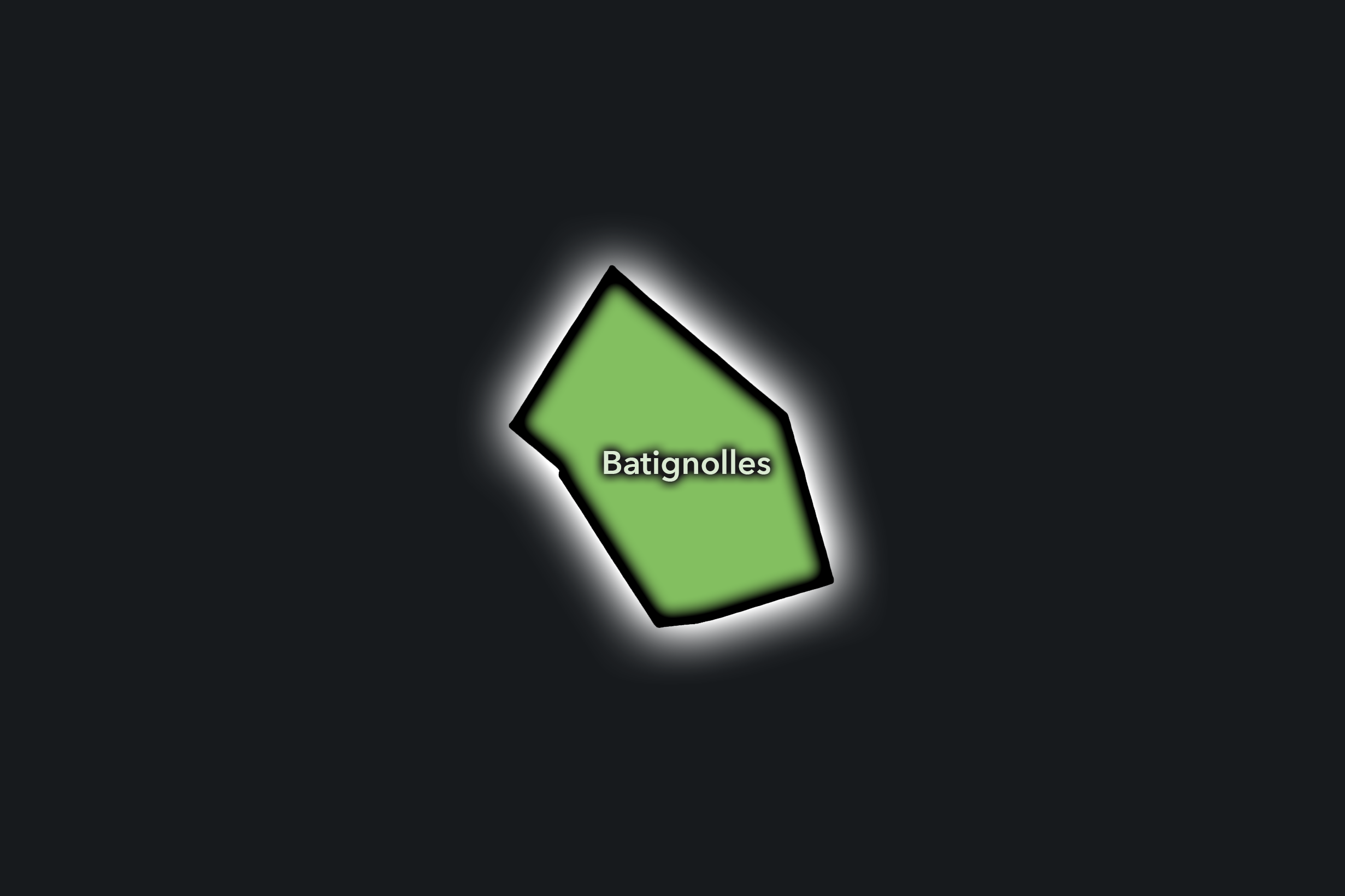
The Batignolles Conseil de Quartier gives civic form to one of the 17e’s strongest neighborhood identities, where village-like streets, local commerce, cafés, schools, residential blocks, older rail-adjacent fabric, and newer development around Parc Clichy-Batignolles - Martin Luther King all meet. As a civic territory, it sits between the traditional Batignolles core around Rue des Batignolles and Square des Batignolles, and the more contemporary urban landscape built around new housing, offices, public space, and transit near Pont Cardinet.
On the ground, Batignolles feels local, walkable, and increasingly layered. Its civic themes center on balancing older neighborhood life with newer development, maintaining market-street vitality, managing public-space use around parks and schools, supporting pedestrian comfort, and keeping the district’s residential and commercial warmth intact as it becomes more visible within northwestern Paris. The CdQ layer is useful here because Batignolles is both a historic local identity and an evolving urban district, with daily life shaped by cafés, family routines, transit access, park use, and redevelopment.
Batignolles: At a Glance
A curated list for you.
-

Major Streets
Rue des Batignolles
Rue Cardinet
Rue Legendre
Rue des Dames
Rue Brochant
-

Public Spaces & Landmarks
Square des Batignolles
Parc Clichy-Batignolles - Martin Luther King
Marché couvert des Batignolles
Église Sainte-Marie des Batignolles
Théâtre Hébertot nearby
-

Transit Access
Pont Cardinet
Brochant
Rome nearby
Place de Clichy nearby
Porte de Clichy nearby
-

Shopping & Dining
Rue des Batignolles shops and cafés
Rue Brochant local dining
Marché couvert des Batignolles
Dose Batignolles
Le Tout Petit
-

Hotels & Attractions
Batignolles village streets
Parc Martin Luther King
Square des Batignolles
Pont Cardinet / Clichy-Batignolles district
Northern 17e neighborhood walking route
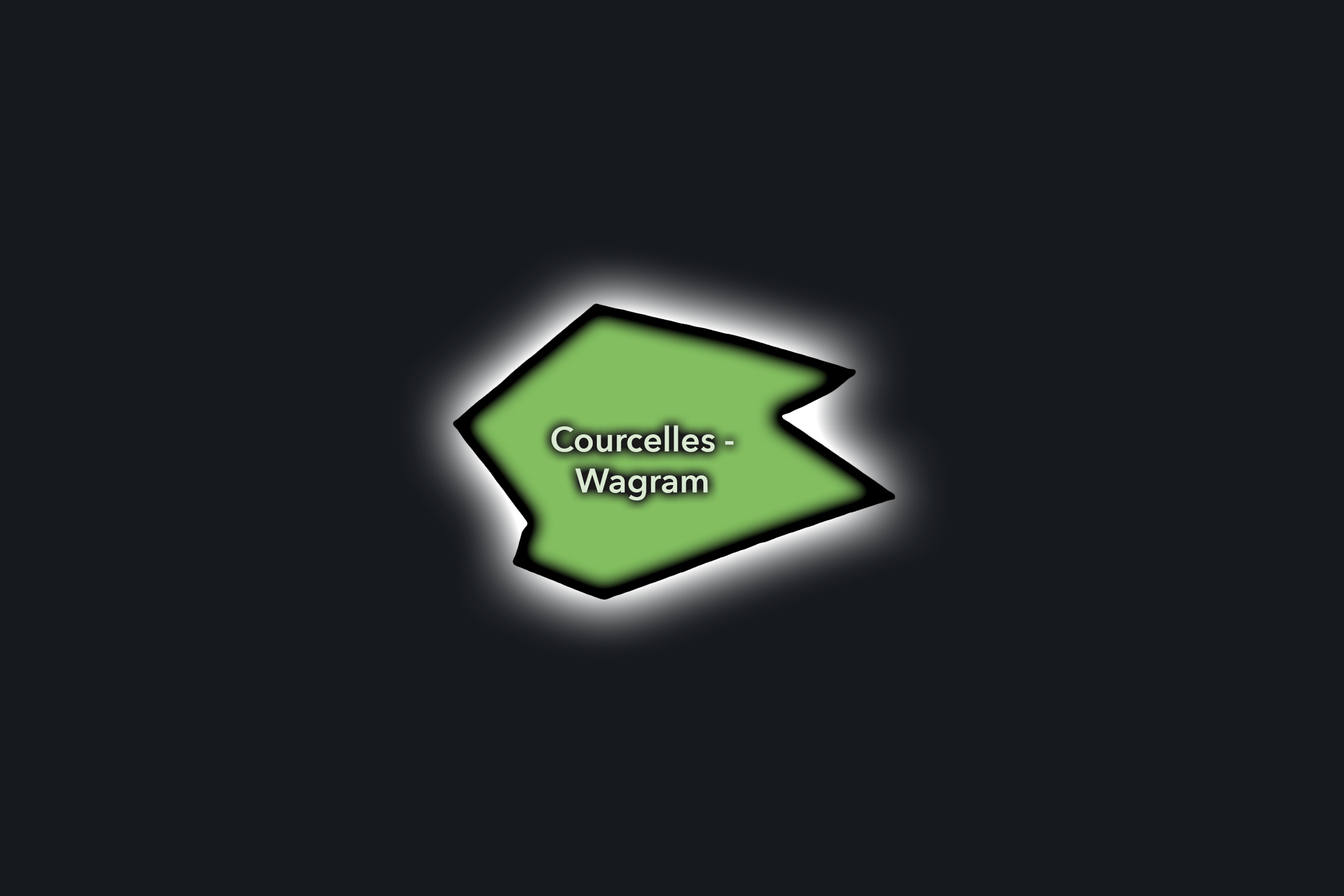
Courcelles - Wagram
Civic Profile
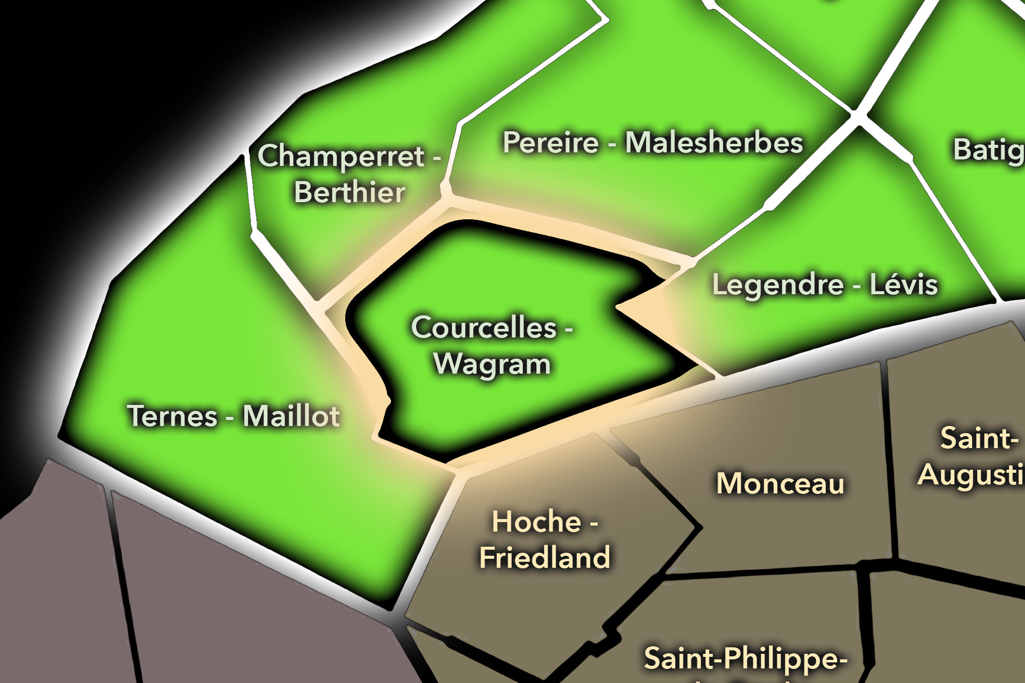
The Courcelles - Wagram Conseil de Quartier gives civic shape to the western-central 17e, where the arrondissement’s formal Haussmannian avenues, residential streets, schools, offices, embassies, and Parc Monceau-adjacent fabric connect toward the 8e and the Arc de Triomphe. As a civic territory, it reflects one of the 17e’s most elegant and residentially stable landscapes: broad avenues, stone façades, local cafés, neighborhood services, and carefully managed public space organized around the Courcelles, Wagram, and Ternes edge.
On the ground, Courcelles - Wagram feels polished, residential, and quietly metropolitan. Its civic themes center on preserving residential quality of life, managing traffic on major avenues, supporting local commerce, maintaining school and family routines, and balancing the district’s proximity to major western Paris destinations with its more neighborhood-scaled daily life. The CdQ layer helps distinguish this part of the 17e from both the livelier Batignolles core and the more office-and-gateway-oriented areas around Maillot and Champerret.
Courcelles - Wagram: At a Glance
A curated list for you.
-
Major Streets
Avenue de Wagram
Boulevard de Courcelles
Rue de Courcelles
Rue Jouffroy d’Abbans
Rue de Prony
-
Public Spaces & Landmarks
Parc Monceau nearby
Salle Wagram
Église Saint-François-de-Sales
Place du Général-Catroux nearby
Musée Jean-Jacques Henner nearby
-
Transit Access
Courcelles
Wagram
Malesherbes
Monceau nearby
Ternes nearby
-
Shopping & Dining
Avenue de Wagram cafés and shops
Rue de Courcelles local commerce
Rue Jouffroy d’Abbans restaurants
Gabrielle
Le Dôme de Villiers nearby
-
Hotels & Attractions
Parc Monceau walking route
Salle Wagram events
Plaine Monceau residential architecture
Arc de Triomphe nearby
17e / 8e western Paris route
Champerret - Berthier
Civic Profile
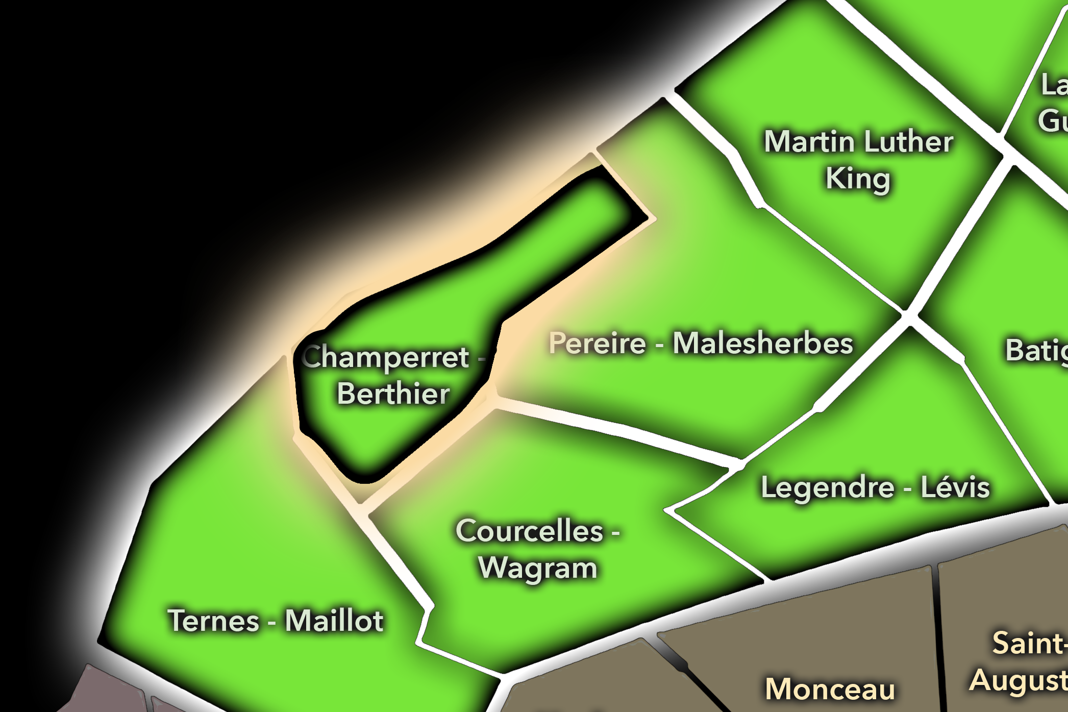
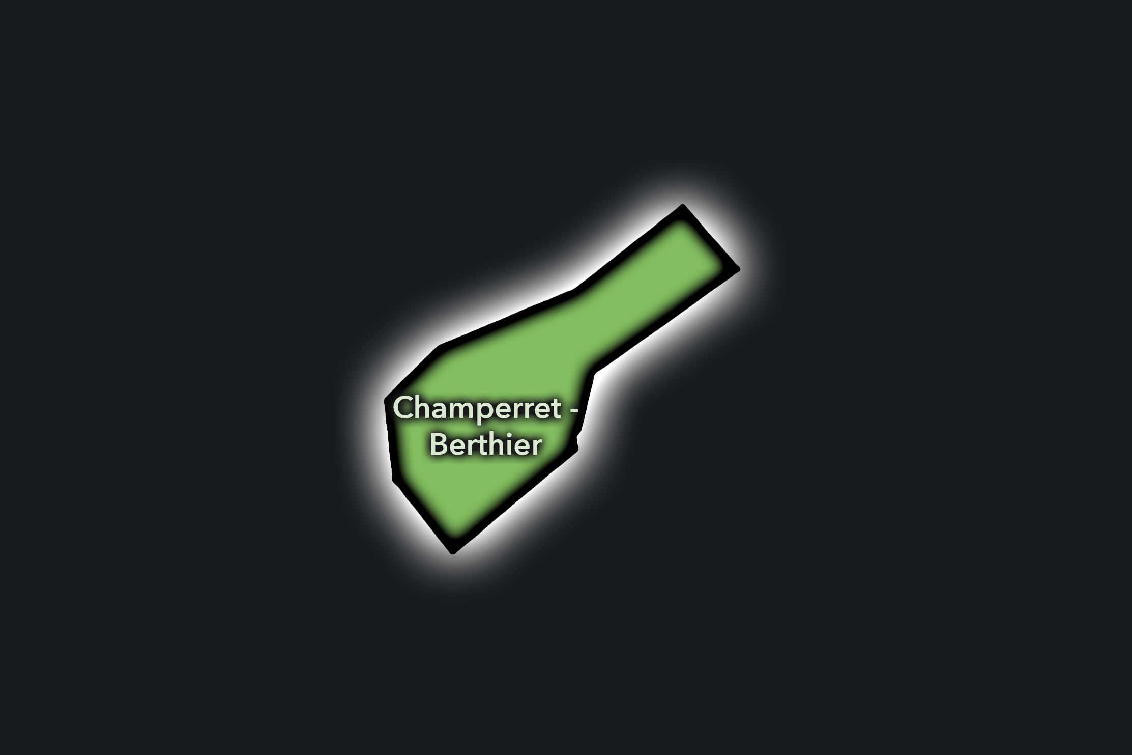
The Champerret - Berthier Conseil de Quartier organizes the northwestern edge of the 17e, where Porte de Champerret, Boulevard Berthier, Avenue de Villiers, offices, schools, residential streets, hotels, event spaces, and connections toward Levallois-Perret come together. As a civic territory, it is shaped by edge conditions: broad roads, transit access, Paris’s boundary with the inner suburbs, local commerce, residential blocks, and the practical movement of commuters, workers, residents, and visitors through the Porte de Champerret area.
On the ground, Champerret - Berthier feels practical, transitional, and well-connected. It is less intimate than Batignolles and less formal than Courcelles - Wagram, but it plays an important civic role as a gateway between Paris and the northwest. Its civic themes center on traffic, pedestrian safety, transit access, office and event activity, hotel use, residential livability, and the challenge of making a porte district feel like a neighborhood rather than merely a passage. Restaurants and cafés around Porte de Champerret, such as Angelus on Place de la Porte de Champerret and Le Merrill on Avenue de Villiers, reflect the area’s role as both a local and business-oriented district.
Champerret - Berthier: At a Glance
A curated list for you.
-
Major Streets
Boulevard Berthier
Avenue de Villiers
Rue de Courcelles
Avenue de la Porte de Champerret
Boulevard Gouvion-Saint-Cyr
-
Public Spaces & Landmarks
Porte de Champerret
Espace Champerret
Square Sainte-Odile
Église Sainte-Odile
Parc Monceau nearby
-
Transit Access
Porte de Champerret
Pereire
Louise Michel nearby
Wagram nearby
Pont Cardinet nearby
-
Shopping & Dining
Place de la Porte de Champerret cafés
Avenue de Villiers dining
Angelus
Le Merrill
La Chope Champerret
-
Hotels & Attractions
Porte de Champerret gateway
Espace Champerret events
Levallois-Perret edge access
Parc Monceau nearby
Western 17e hotel corridors
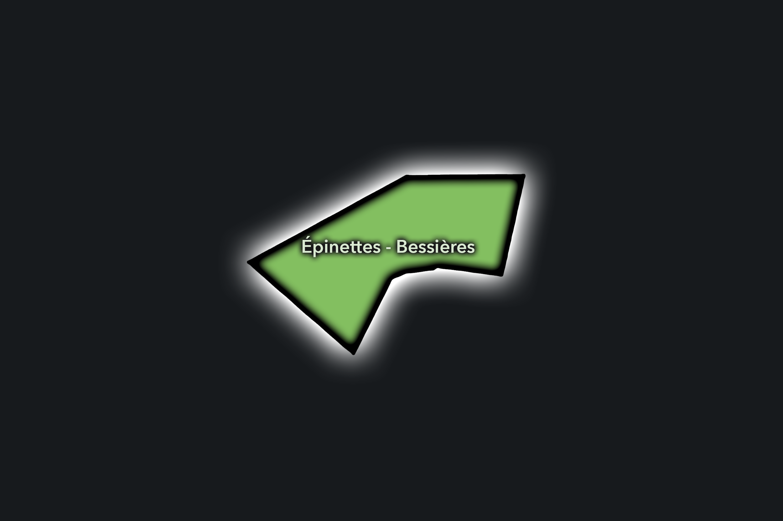
Épinettes - Bessières
Civic Profile
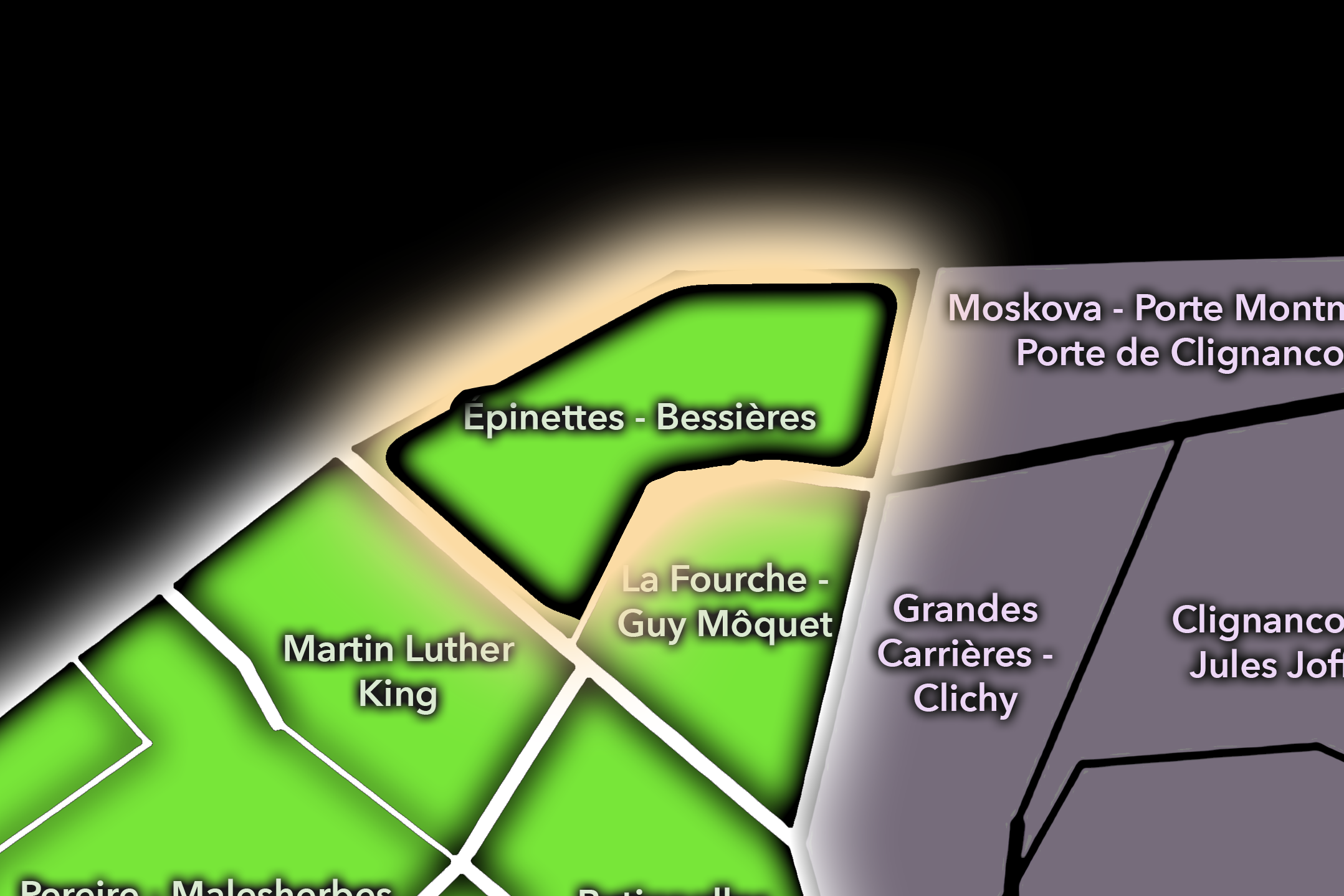
The Épinettes - Bessières Conseil de Quartier gives civic form to the northern edge of the 17e, where dense residential streets, social housing, local commerce, schools, tramway access, rail and boulevard infrastructure, and the transition toward Clichy and the 18e shape a strongly lived urban landscape. As a civic territory, it reflects a different side of the 17e from the formal avenues of Wagram or Courcelles: more compact, more working-city in character, and more closely tied to the everyday pressures of housing, mobility, public space, and edge-of-Paris life.
On the ground, Épinettes - Bessières feels local, dense, and practical. It is shaped by apartment blocks, school routes, neighborhood cafés, small shops, public gardens, transit stops, and the movement around Boulevard Bessières and Porte de Clichy. Its civic themes center on residential quality of life, pedestrian comfort, school access, greening, public-space maintenance, traffic along the northern boulevards, and the challenge of making a heavily used edge district feel cohesive and neighborhood-scaled.
Épinettes - Bessières: At a Glance
A curated list for you.
-
Major Streets
Avenue de Flandre
Avenue d’Aubervilliers
Rue de Crimée
Boulevard Macdonald nearby
Quai de la Gironde nearby
-
Public Spaces & Landmarks
Centquatre-Paris nearby
Canal Saint-Denis nearby
Rosa Parks / Macdonald edge nearby
Square Curial nearby
Porte d’Aubervilliers nearby
-
Transit Access
Crimée
Corentin Cariou nearby
Riquet nearby
Rosa Parks nearby
Tramway T3b access nearby
-
Shopping & Dining
Avenue de Flandre shops
Rue de Crimée cafés and local dining
Aubervilliers-edge commerce
Centquatre cafés nearby
Local bakeries around Crimée
-
Hotels & Attractions
Centquatre-Paris nearby
Canal Saint-Denis access
Rosa Parks / Macdonald district nearby
Porte d’Aubervilliers gateway
Northern 19e urban corridor
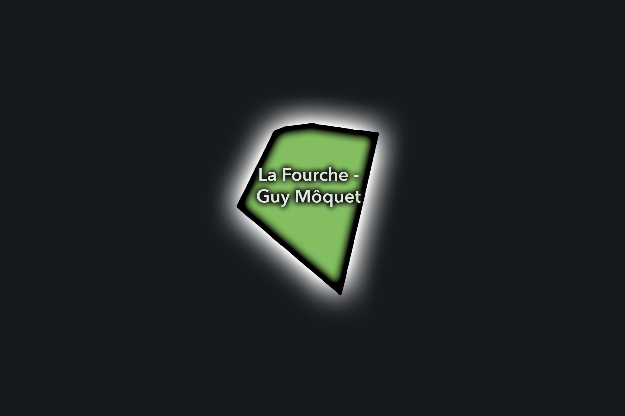
La Fourche - Guy Môquet
Civic Profile
The Manin-Jaurès Conseil de Quartier gives civic form to one of the 19e’s most important park-adjacent landscapes, where Parc des Buttes-Chaumont, Avenue Jean-Jaurès, Rue Manin, local schools, residential streets, cafés, and the movement between Laumière, Ourcq, and the canal districts come together. As a civic territory, it is shaped by the relationship between a major public park and the everyday neighborhood fabric around it: families, runners, students, residents, visitors, and local businesses all using the same hillside, avenue, and park-edge spaces.
On the ground, Manin-Jaurès feels green, residential, and highly used. The Buttes-Chaumont gives the district its strongest visual and civic anchor, while Avenue Jean-Jaurès and the surrounding streets bring shops, cafés, transit, schools, and steady local movement. Its civic themes center on park access and maintenance, pedestrian comfort, school and family movement, traffic along major corridors, local commerce, public-space stewardship, and the balance between neighborhood quiet and the citywide draw of one of Paris’s most beloved parks. Rosa Bonheur and Le Pavillon du Lac both help anchor the park’s dining and gathering life.
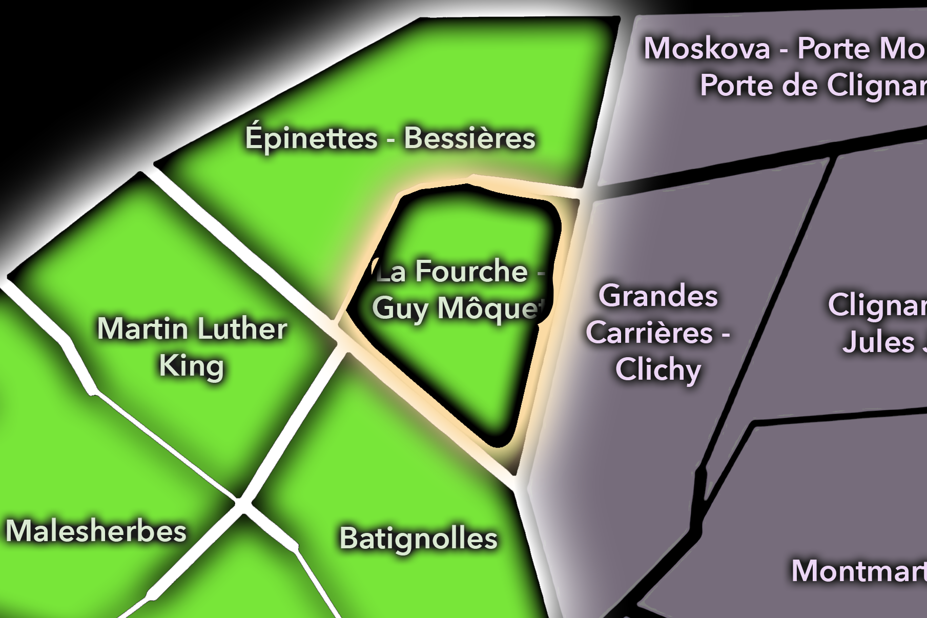
La Fourche - Guy Môquet: At a Glance
A curated list for you.
-
Major Streets
Avenue de Clichy
Rue Guy Môquet
Rue Legendre
Rue des Dames nearby
Rue de La Jonquière nearby
-
Public Spaces & Landmarks
Place de Clichy nearby
Square des Batignolles nearby
Cité des Fleurs nearby
Église Sainte-Marie des Batignolles nearby
Batignolles neighborhood edge
-
Transit Access
La Fourche
Guy Môquet
Brochant nearby
Place de Clichy nearby
Rome nearby
-
Shopping & Dining
Avenue de Clichy shops and cafés
Guy Môquet neighborhood dining
Rue Legendre local commerce
Batignolles restaurants nearby
Local bakeries around La Fourche
-
Hotels & Attractions
Batignolles walking route nearby
Place de Clichy access
Northern 17e neighborhood streets
Montmartre / Pigalle nearby
Cité des Fleurs nearby
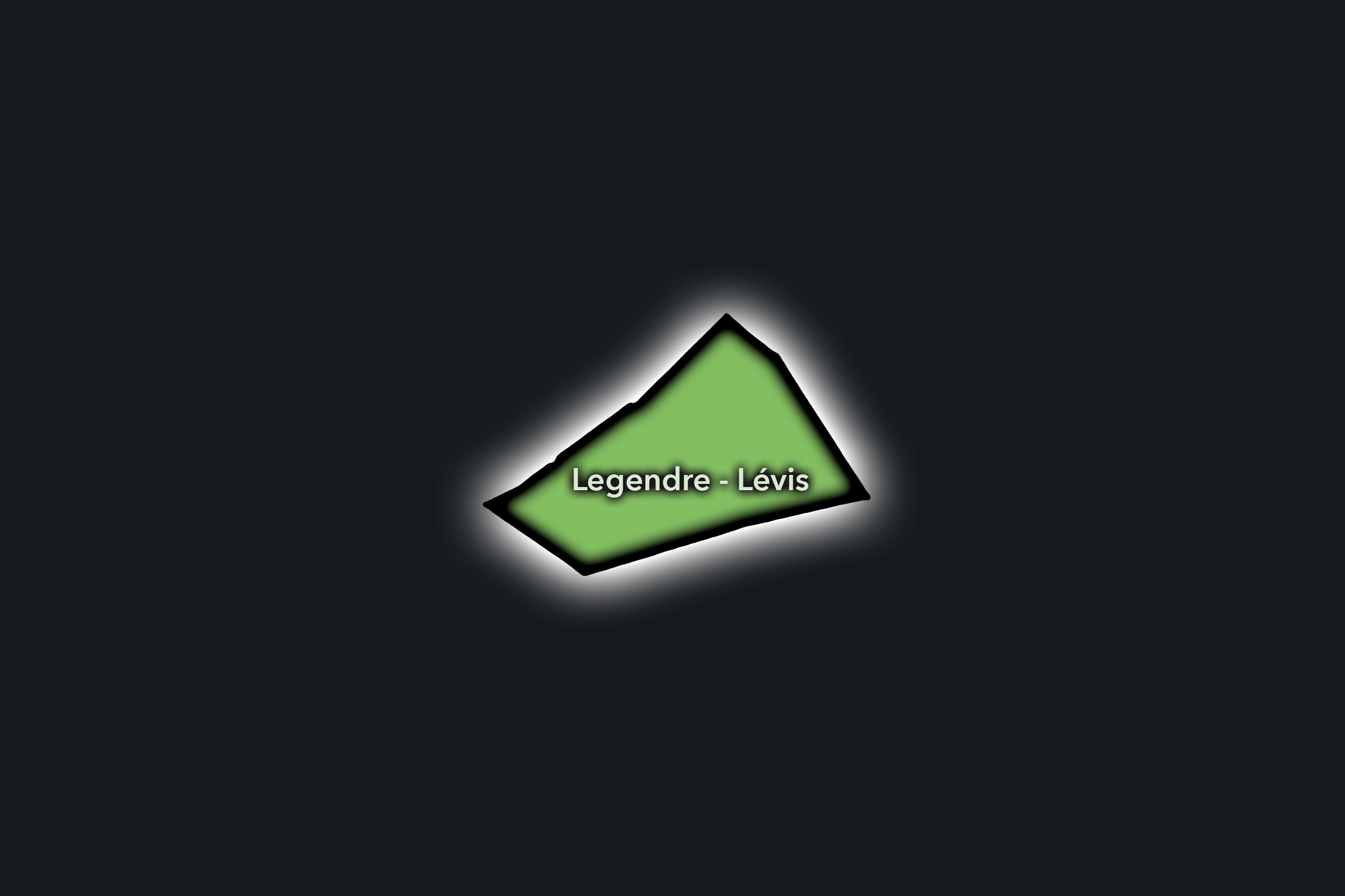
Legendre - Lévis
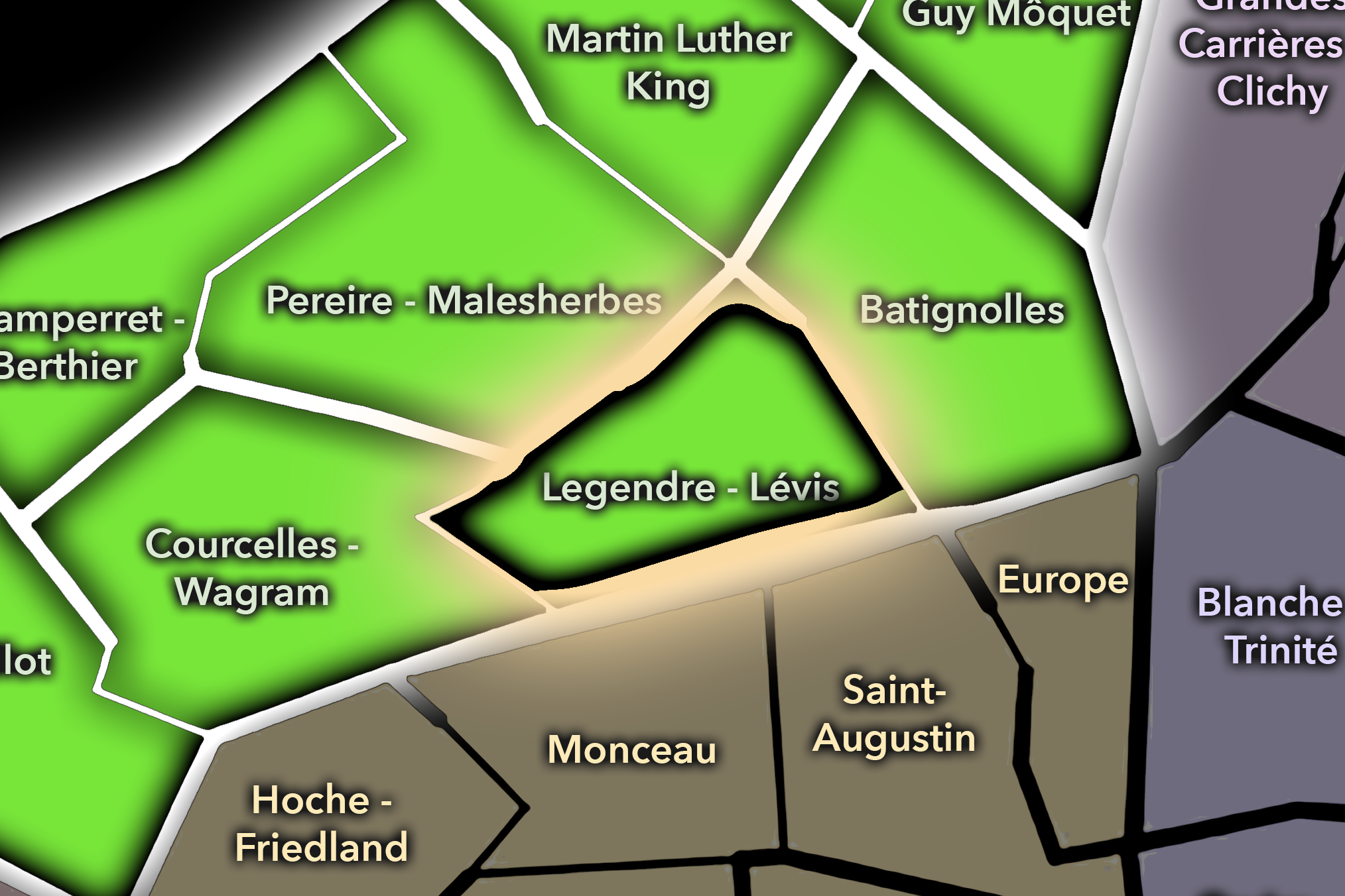
The Legendre - Lévis Conseil de Quartier gives civic shape to one of the 17e’s strongest neighborhood-commercial centers, where Rue de Lévis, Rue Legendre, Villiers, residential blocks, schools, cafés, food shops, and the Plaine Monceau / Batignolles transition create a highly walkable local district. As a civic territory, it captures the 17e’s everyday elegance: less monumental than the western avenues, less redeveloped than Martin Luther King, and more defined by local commerce, family routines, and residential street life.
On the ground, Legendre - Lévis feels animated, comfortable, and distinctly neighborhood-scaled. Rue de Lévis gives the CdQ its central spine, with food shops, cafés, bakeries, restaurants, and steady pedestrian movement, while the surrounding streets support schools, apartment buildings, local services, and routes toward Villiers, Batignolles, and Parc Monceau. Its civic themes center on maintaining market-street vitality, pedestrian comfort, residential quality of life, school access, traffic calming, and preserving a commercial village atmosphere within a dense western Paris arrondissement.
Civic Profile
Legendre - Lévis: At a Glance
A curated list for you.
-
Major Streets
Rue de Lévis
Rue Legendre
Avenue de Villiers
Rue de Tocqueville
Rue des Dames nearby
-
Public Spaces & Landmarks
Marché Lévis / Rue de Lévis market street
Place de Lévis
Parc Monceau nearby
Square des Batignolles nearby
Église Saint-Charles-de-Monceau nearby
-
Transit Access
Villiers
Malesherbes nearby
Rome nearby
Monceau nearby
Wagram nearby
-
Shopping & Dining
Rue de Lévis food shops
Rue Legendre cafés and restaurants
Villiers neighborhood dining
Aux Merveilleux de Fred
Local bakeries and fromageries around Lévis
-
Hotels & Attractions
Rue de Lévis neighborhood route
Parc Monceau nearby
Batignolles nearby
Plaine Monceau residential streets
Villiers / western 17e access
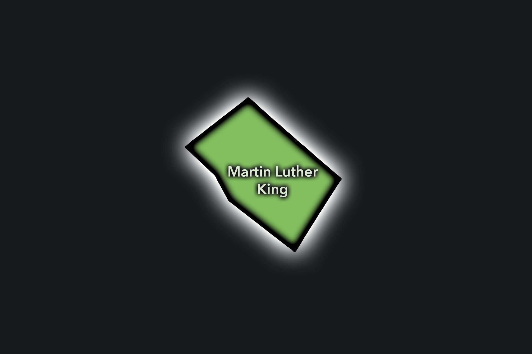
Martin Luther King
Civic Profile
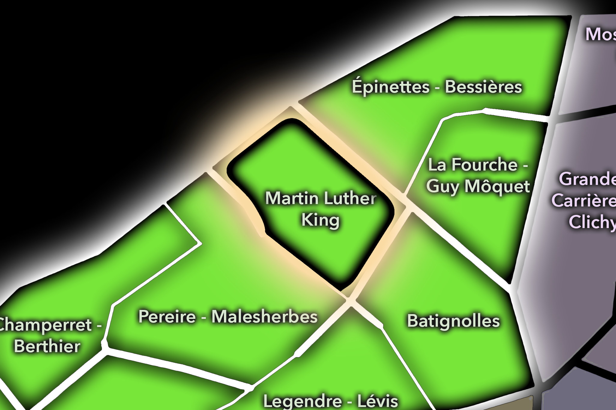
The Martin Luther King Conseil de Quartier gives civic form to the most contemporary transformation zone of the 17e, where former rail-adjacent land, new housing, offices, schools, public space, and Parc Clichy-Batignolles - Martin Luther King have reshaped the northeastern edge of the arrondissement. As a civic territory, it reflects a newer Paris: planned, mixed-use, park-centered, and closely tied to questions of sustainability, density, family life, and how redevelopment becomes neighborhood.
On the ground, Martin Luther King feels open, modern, and still settling into its local identity. The park provides the district’s civic heart, while surrounding streets bring new apartment blocks, schools, offices, cafés, transit access, and connections toward Batignolles, Porte de Clichy, and the Tribunal de Paris. Its civic themes center on park stewardship, public-space design, housing and development, school and family movement, pedestrian comfort, greening, transit access, and the challenge of turning a large urban project into a lived neighborhood with its own daily rhythms.
Martin Luther King: At a Glance
A curated list for you.
-
Major Streets
Rue Cardinet
Boulevard Berthier
Rue Mstislav-Rostropovitch
Rue Gilbert-Cesbron
Avenue de Clichy nearby
-
Public Spaces & Landmarks
Parc Clichy-Batignolles - Martin Luther King
Tribunal de Paris nearby
Square des Batignolles nearby
Clichy-Batignolles district
Batignolles rail-edge redevelopment
-
Transit Access
Pont Cardinet
Porte de Clichy
Brochant nearby
Tramway T3b access
Mairie de Clichy nearby
-
Shopping & Dining
Batignolles cafés and restaurants nearby
Rue Cardinet local dining
Parc Martin Luther King cafés and kiosks
Porte de Clichy brasseries
Local shops around Clichy-Batignolles
-
Hotels & Attractions
Parc Martin Luther King
Clichy-Batignolles redevelopment district
Tribunal de Paris area
Batignolles walking route
Porte de Clichy gateway
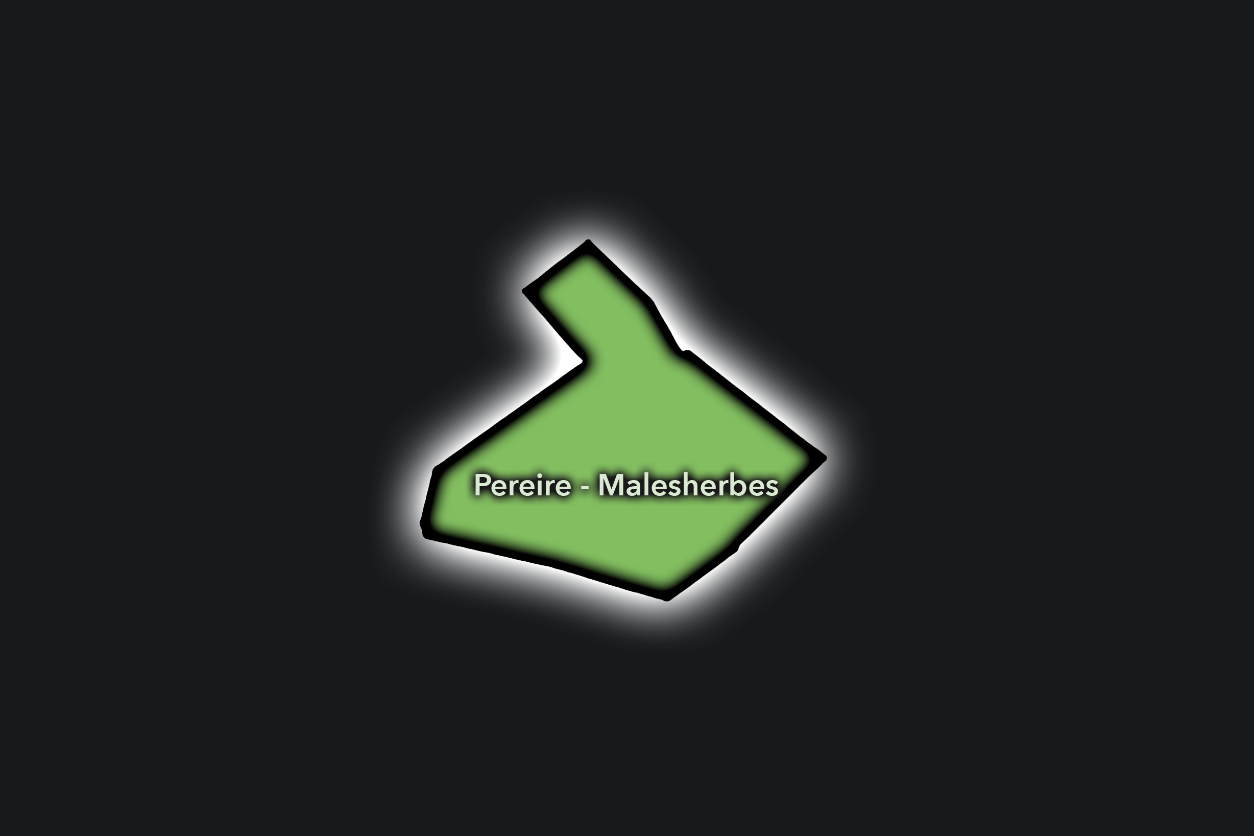
Pereire - Malesherbes
Civic Profile
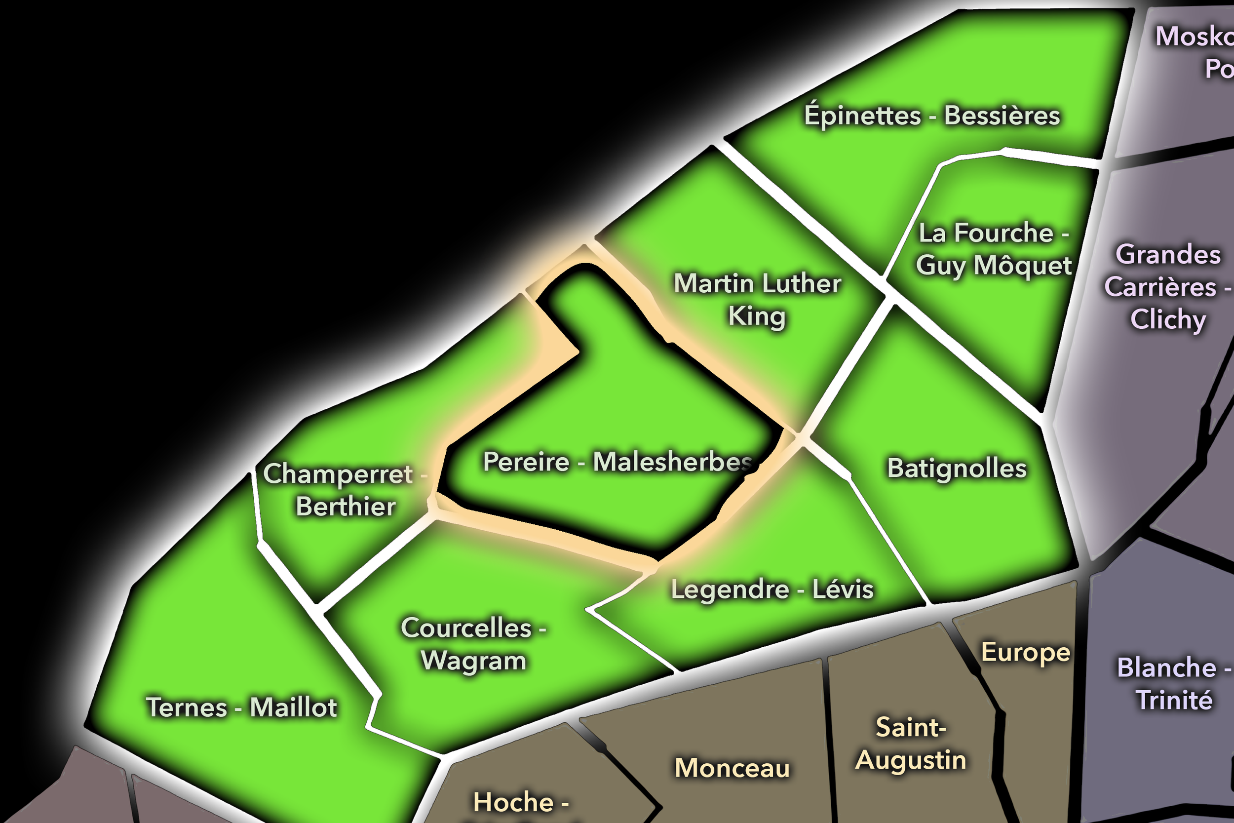
The Pereire - Malesherbes Conseil de Quartier organizes a refined residential and transit-linked section of the 17e, where Boulevard Pereire, Avenue de Villiers, Boulevard Malesherbes, schools, apartment buildings, offices, local shops, and the rail-influenced geometry of western Paris come together. As a civic territory, it sits between the formal elegance of Plaine Monceau, the local-commercial life of Lévis and Villiers, and the broader movement corridors toward Champerret, Wagram, and the northwest of the city.
On the ground, Pereire - Malesherbes feels residential, polished, and quietly connected. Its civic life is shaped by broad boulevards, planted medians, schools, local cafés, family routines, offices, and steady transit movement rather than by major tourist landmarks. Its civic themes center on pedestrian comfort, traffic on major avenues, school access, public-space maintenance, residential quality of life, greening, and the preservation of a calm neighborhood environment within a well-connected western Paris district.
Pereire - Malesherbes: At a Glance
A curated list for you.
-
Major Streets
Boulevard Pereire
Boulevard Malesherbes
Avenue de Villiers
Rue de Tocqueville
Rue Ampère
-
Public Spaces & Landmarks
Promenade Pereire
Place du Maréchal-Juin
Église Saint-François-de-Sales nearby
Parc Monceau nearby
Plaine Monceau residential streets
-
Transit Access
Pereire
Wagram
Malesherbes
Villiers nearby
Porte de Champerret nearby
-
Shopping & Dining
Avenue de Villiers cafés and shops
Boulevard Pereire local restaurants
Villiers neighborhood dining nearby
Rue de Tocqueville local commerce
Local bakeries around Pereire
-
Hotels & Attractions
Promenade Pereire walking route
Plaine Monceau architecture
Parc Monceau nearby
Villiers / Lévis neighborhood route nearby
Western 17e residential streets
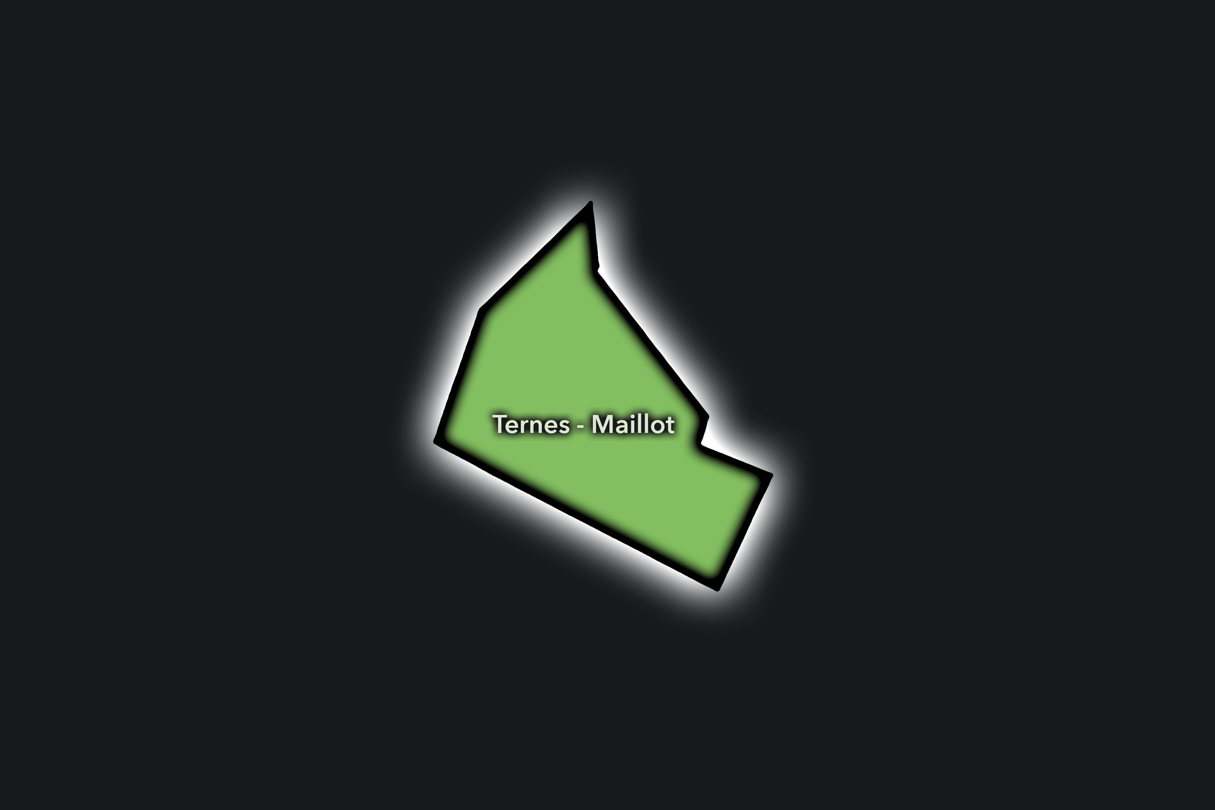
Ternes - Maillot
Civic Profile
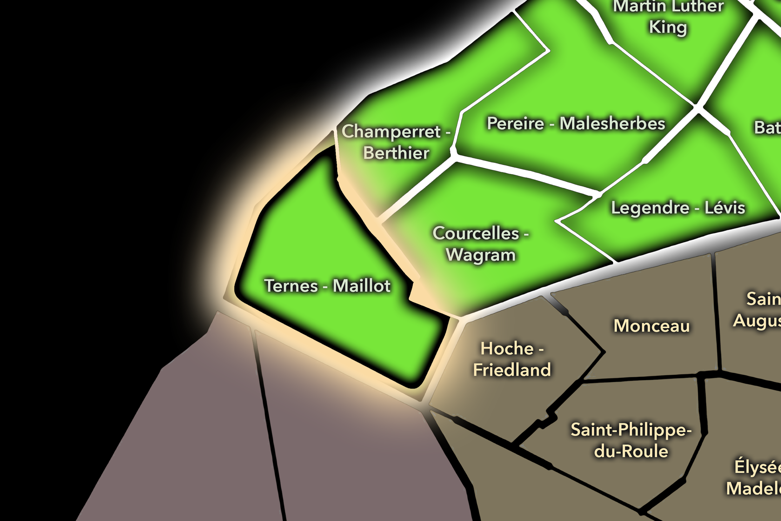
The Ternes - Maillot Conseil de Quartier gives civic shape to the western gateway of the 17e, where Avenue des Ternes, Porte Maillot, the Palais des Congrès, hotels, offices, residential streets, shopping corridors, and the approach toward Neuilly and the Bois de Boulogne meet. As a civic territory, it is defined by movement at several scales: neighborhood errands around Ternes, business and event traffic around Maillot, transit connections at the city edge, and the broader western axis linking Paris to La Défense and the inner suburbs.
On the ground, Ternes - Maillot feels busy, commercial, and gateway-oriented. The Ternes area supports shops, cafés, restaurants, hotels, and local services, while Porte Maillot brings larger-scale infrastructure, event use, office activity, and edge-of-city traffic. Its civic themes center on pedestrian circulation, public-space redesign around Porte Maillot, event and hotel traffic, local commercial vitality, residential livability, transit access, and the challenge of making a major western threshold feel connected to the everyday neighborhood fabric of the 17e.
Ternes - Maillot: At a Glance
A curated list for you.
-
Major Streets
Avenue des Ternes
Avenue de la Grande Armée
Boulevard Gouvion-Saint-Cyr
Rue Bayen
Avenue Niel
-
Public Spaces & Landmarks
Porte Maillot
Palais des Congrès de Paris
Place des Ternes
Église Saint-Ferdinand-des-Ternes
Bois de Boulogne nearby
-
Transit Access
Porte Maillot
Ternes
Argentine nearby
Charles de Gaulle - Étoile nearby
Neuilly - Porte Maillot RER
-
Shopping & Dining
Avenue des Ternes shops
Place des Ternes cafés and restaurants
Marché Poncelet nearby
Le Ballon des Ternes
Brasserie Lorraine
-
Hotels & Attractions
Palais des Congrès visitor district
Porte Maillot gateway
Arc de Triomphe nearby
Bois de Boulogne access
Western Paris hotel corridor
Neighborhood Connections
Every Conseil de Quartier belongs to a wider Parisian fabric.
-
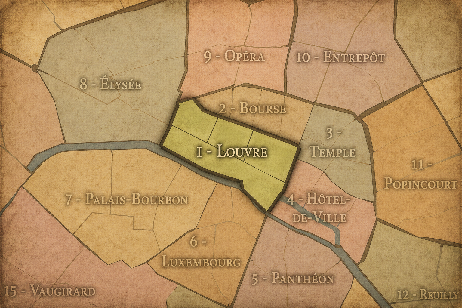
19e — Buttes-Chaumont
-
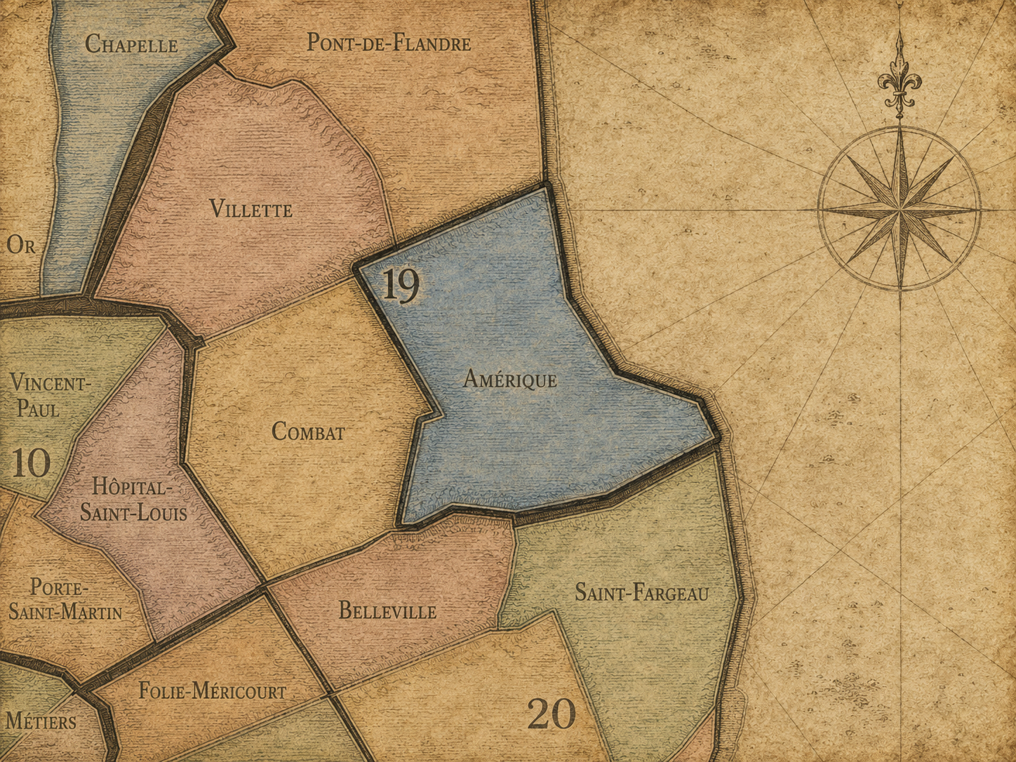
Amérique
-
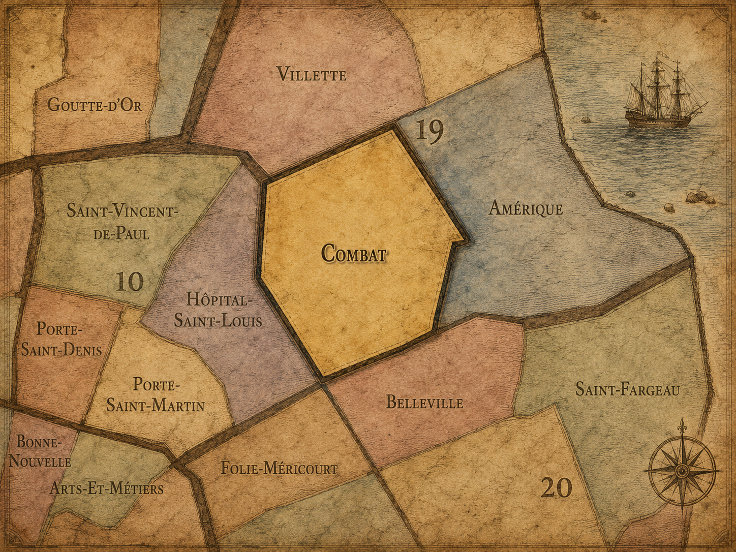
Combat
-
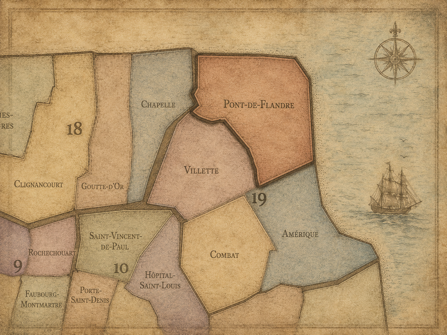
Pont-de-Flandre
-
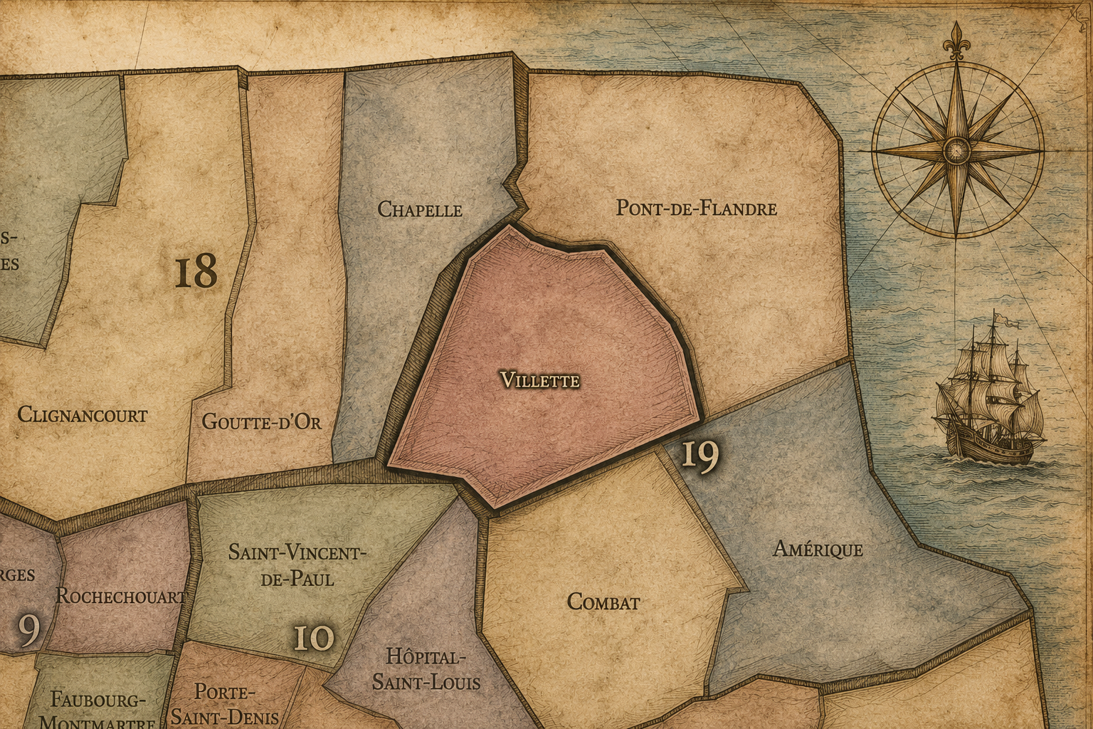
Villette
The Photography
Visual Identity

The arrondissements do not share a single visual identity. Instead, they organize Paris into twenty broad visual fields, each gathering its own combination of landmarks, streetscapes, institutions, residential districts, commercial corridors, parks, rail stations, markets, cemeteries, and riverfront edges.
Some arrondissements are defined by monumental scale: royal palaces, ceremonial avenues, government buildings, museums, formal gardens, and internationally recognized landmarks. Others are shaped by hills, canals, rail gateways, apartment-lined boulevards, neighborhood markets, former village streets, industrial remnants, parks, or the quieter rhythms of residential Paris. The arrondissement system gives these varied landscapes a civic frame, allowing the city to be read not as one visual language, but as a sequence of overlapping Parisian atmospheres.
Through The Lens

Photographing the arrondissements means moving between the official map and the street-level experience. The camera does not treat each arrondissement as visually uniform. Instead, it looks for the recurring forms, textures, transitions, and contrasts that make each district legible: the geometry of boulevards, the shade of plane trees, the repetition of balconies, the rise of stairways, the curve of canals, the presence of rail stations, the opening of parks, the weight of monuments, and the intimacy of side streets.
On CityNeighborhoods, the arrondissement provides the frame, but the photograph comes from the encounter between map, movement, light, and observation. As the Paris photography is processed, this section will connect each arrondissement more directly to the project’s Photographic Lexicon: the visual strategies, recurring motifs, and compositional patterns that shape how the city is seen through the lens.
If you visit Paris, these ideas can help inspire your own photography.



Paris: J’Espere, Je Rêve, Je Vive
Paris Photo Gallery
Paris Field Notes
-
Field Note: August 18, 2025 | 07:58 AM
Conditions: 73°F | Humidity: 72%.
Within the park's interior, the glacial kettle ponds acted as humidity traps, creating a soft, hazy light that filtered through the old-growth oaks. The transition from the park's dense shade to the sun-drenched edges of Oakland Gardens highlighted the day's exceptional "picture-perfect" clarity.
There is a fleeting window in Queens where the humidity of August hasn't yet heavy-set, and the morning sun hits the canopy of Alley Pond Park at a perfect oblique angle. Arriving just before 8:00 AM, I watched the light break through the oaks and tulip trees, casting long, dramatic shadows across the wet grass. It’s in these quiet, golden moments that the park feels less like a city escape and more like the ancient glacial valley it actually is.
Other neighborhoods visited:











































































































Explore Paris
-

The twenty arrondissements form the civic spiral of Paris, organizing the city into its broad local districts of government, identity, and daily life.
-

Each arrondissement is divided into four official administrative quarters, giving Paris a more precise civic and geographic framework.
-

The conseils de quartier bring participation to street level, giving residents a voice in neighborhood needs, public space, and local civic life.
-

Les Deux Rives trace Paris through the Seine’s two banks, revealing how the Rive Droite and Rive Gauche shaped the city’s civic power, commerce, learning, art, and cultural identity.
-

Cultural neighborhoods reveal the Paris people recognize through history, cafés, architecture, memory, atmosphere, and local belonging.