
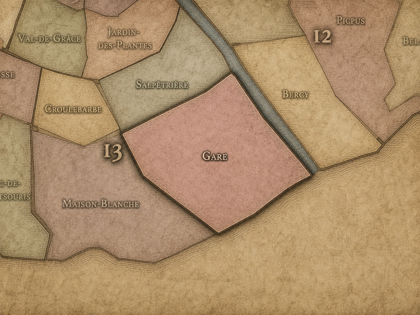
13e - GARE
Quartiers Administratifs
Part of an ongoing project to walk and photograph every neighborhood in Paris, this page explores the Administrative Quarter: 13e - Gare through maps, district identity, history, and photography.




The Map
Download the Paris Arrondissements Map
Geographic Setting
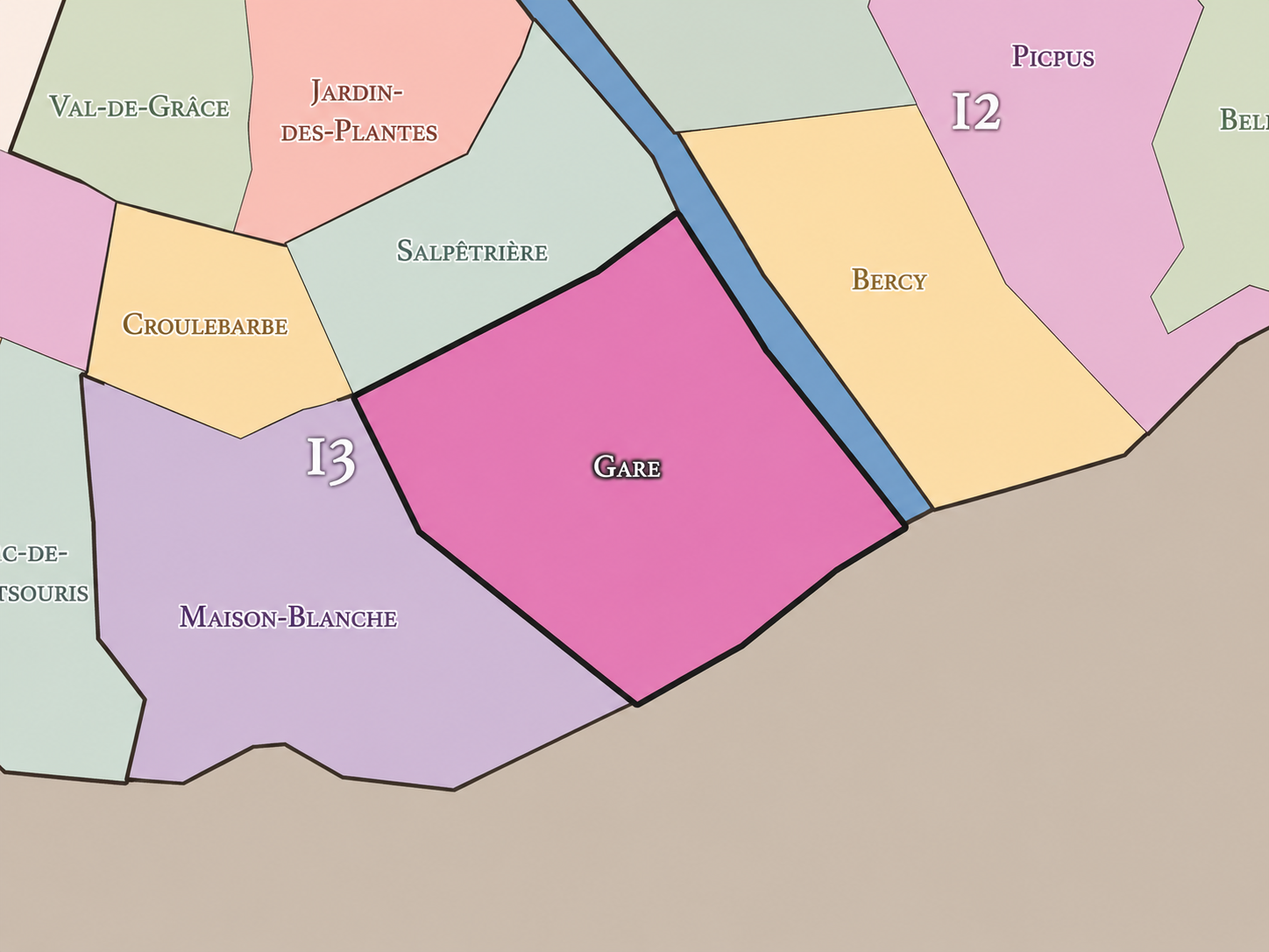
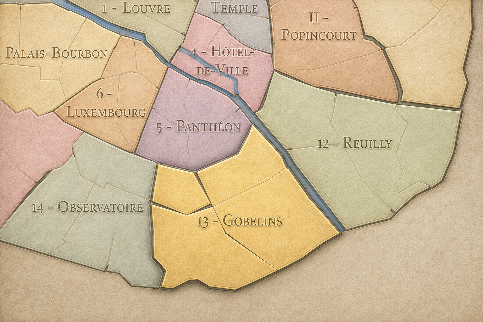
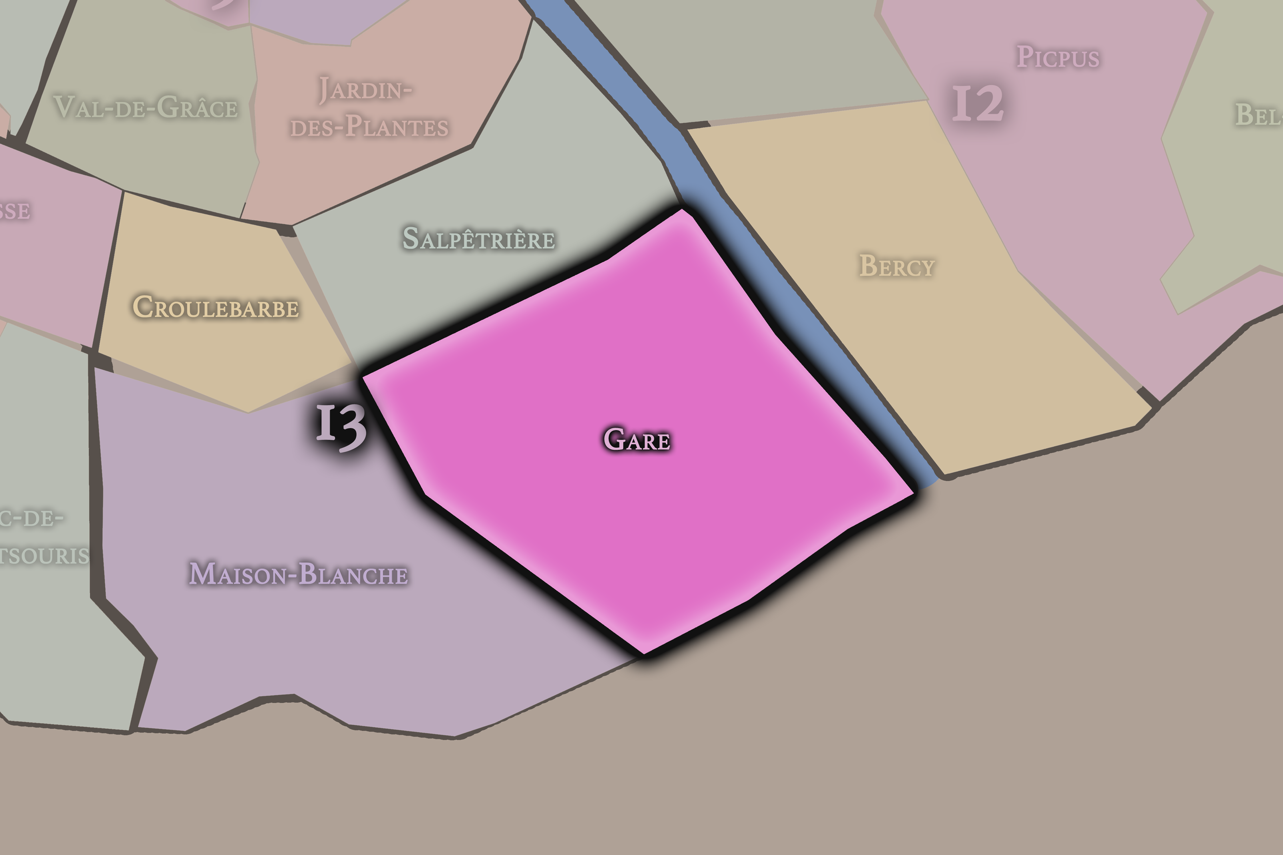
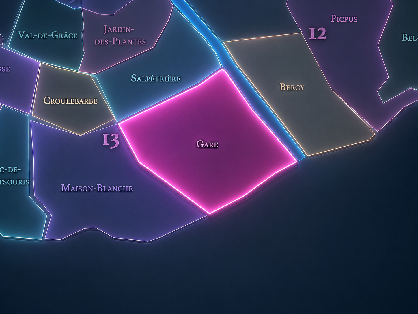
Gare occupies the eastern and southeastern portion of the 13th arrondissement, where Paris turns toward the Seine, Ivry-sur-Seine, the rail corridors of Austerlitz, the Bibliothèque François-Mitterrand, the towers of Olympiades, and the large-scale redevelopment landscapes of Paris Rive Gauche. It lies east of Maison-Blanche and Salpêtrière, southeast of Croulebarbe, and along the river-facing edge of the arrondissement opposite Bercy in the 12th. It is one of the most transformed quarters of Paris: a district where rail yards, industrial land, warehouses, modernist housing, university buildings, libraries, offices, towers, and new streets have repeatedly remade the city’s southeastern edge.
The quarter’s geography is shaped by Avenue de France, Boulevard Vincent-Auriol, Boulevard Masséna, Rue du Chevaleret, Rue de Tolbiac, Rue Nationale, Rue de Patay, the Seine quays, the rail approaches to Gare d’Austerlitz, the Bibliothèque nationale de France — François-Mitterrand site, the Olympiades complex, and the contemporary urban grid that now covers much of the former railway and industrial territory. It is a quarter of infrastructure and reinvention, less intimate in origin than Croulebarbe, less hospital-centered than Salpêtrière, and less village-like than Butte-aux-Cailles within Maison-Blanche.
Unlike older Parisian quarters whose identities formed around churches, markets, villages, or medieval streets, Gare is defined by scale. Rail lines, river logistics, modern housing projects, broad avenues, towers, slabs, public institutions, and redevelopment zones give the quarter a geography of systems. It is Paris as constructed edge — the city not inherited in miniature, but rebuilt through infrastructure, planning, and the long effort to turn working land into urban life.
Administrative Quarter Identity
Etymology and Origins
The name Gare means “station” or “railway station,” and in this quarter it refers to the rail landscape that shaped the eastern 13th arrondissement. The name is direct, functional, and modern. It does not carry the religious softness of Sainte-Marguerite, the botanical memory of Bel-Air, or the older valley texture of Croulebarbe. It names infrastructure.
That directness is important. Gare is one of the Parisian quarter names that announces the city’s modern operating system. It points to tracks, freight, arrivals, departures, platforms, warehouses, bridges, and the urban land created around railway access. The quarter’s identity did not grow from a single picturesque center, but from the practical needs of a city moving people and goods across the southeastern edge of Paris.
The name also carries a broader meaning. Gare is not simply “the station” in the narrow sense. It evokes the entire railway-and-industrial landscape that once dominated this part of the arrondissement: the tracks running south and east, the lands around Austerlitz, the warehouses and factories near the Seine, and the later redevelopment that transformed those grounds into one of Paris’s most ambitious contemporary districts.
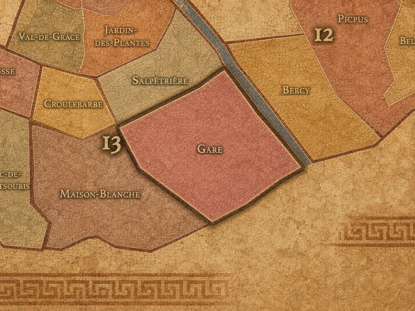
Within the official geography of Paris, Gare is one of the four administrative quarters of the 13th arrondissement, alongside Salpêtrière, Maison-Blanche, and Croulebarbe. It occupies the arrondissement’s eastern and southeastern sector, giving civic form to the area between the Seine, the rail corridors, the Ivry edge, the Olympiades / Tolbiac landscape, and the large-scale developments of Paris Rive Gauche.
As an administrative quarter, Gare clarifies a part of Paris that is often described through newer or more specific names: Bibliothèque François-Mitterrand, Paris Rive Gauche, Tolbiac, Olympiades, Masséna, Chevaleret, or the Seine-side 13th. The official name gathers these pieces into one mapped unit and connects them to the deeper infrastructural history beneath the contemporary urban surface.
This civic frame is especially useful because Gare is one of the places where official neighborhood geography and modern planning geography overlap. The administrative quarter is older than the current redevelopment vocabulary, but it now contains some of the strongest contemporary names in eastern Paris. Gare is the official layer; Paris Rive Gauche is the redevelopment layer; Bibliothèque / Tolbiac / Olympiades are lived, institutional, and transit-oriented layers within it.
Civic Framework
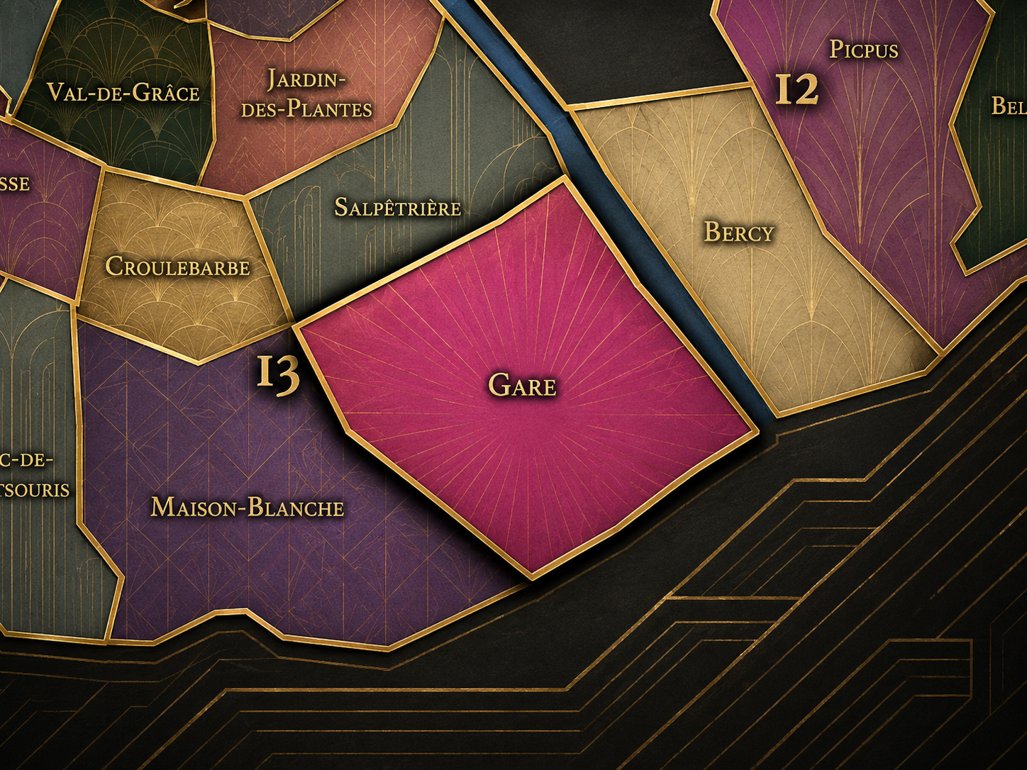
Gare differs from the other quarters of the 13th arrondissement through its relationship to rail, river, modern planning, and large-scale transformation. Croulebarbe is intimate and historically deep, shaped by the hidden Bièvre and the Gobelins textile tradition. Salpêtrière is institutional and medical, defined by the hospital, Gare d’Austerlitz, and the northern edge of the arrondissement. Maison-Blanche is broad and residential, associated with Butte-aux-Cailles, Tolbiac, Italie, and the southern interior of the 13th.
Gare is more infrastructural, contemporary, and redevelopment-driven. Its identity comes from land that was once difficult to integrate into ordinary neighborhood life: rail yards, industrial parcels, riverfront storage, wide transport corridors, and later modernist housing complexes. The quarter’s distinction lies in the way Paris has repeatedly tried to make a city from systems that were not originally designed for neighborhood intimacy.
It should also be distinguished from the everyday use of “Bibliothèque” or “BNF” as a district name. The Bibliothèque François-Mitterrand is now one of the quarter’s strongest landmarks, but Gare is broader and older as an administrative frame. The library is a monumental contemporary anchor; the quarter is the larger landscape of rail, river, towers, housing, universities, streets, and redevelopment that surrounds it.
Neighborhood Distinction
Parisian Identity
Gare expresses Paris as a city willing to rebuild itself at metropolitan scale. It does not offer the inherited charm of narrow medieval streets or the polished symbolism of monumental western Paris. Its identity is more experimental: towers, slabs, elevated structures, rail cuts, broad streets, new universities, contemporary offices, public libraries, bridges, and large blocks remade across generations of planning.
This makes the quarter deeply important to understanding modern Paris. Gare reveals a side of the city that is sometimes overlooked by those who seek only the old stone image. Here, Paris is not a preserved museum of itself. It is a capital confronting land, infrastructure, housing, transportation, immigration, education, and public culture in modern form. The quarter’s beauty is not always immediate, but it is instructive.
Gare also holds one of the great shifts in the identity of the 13th arrondissement: from marginal industrial and railway land to a major contemporary urban district. The Bibliothèque François-Mitterrand, Paris Rive Gauche, the Seine bridges, university campuses, and the Asian commercial and residential geographies nearby have helped make the quarter a place where Paris looks forward, outward, and upward.
Neighborhood Connections
Every administrative quarter belongs to a wider Parisian fabric. These connections place Gare within the city’s civic, participatory, and cultural geography:
-
13e - Gobelins
-

BiblioSeine • Cœur du 13e • Masséna Jeanne d'Arc • Olympiades Choisy • Salpêtrière-Austerlitz
The History
The origins of Gare lie in the southeastern outskirts of Paris, where roads, riverbanks, fields, industrial uses, and later rail infrastructure connected the city to Ivry, the Seine valley, and routes beyond the capital. Before this part of the 13th arrondissement became urban in the modern sense, it was a working edge: useful land, lower-prestige land, land suited to transport, storage, production, and movement.
The Seine was central from the beginning. River access made the area valuable for goods, warehouses, and industrial activity. Later, the arrival and expansion of rail intensified this role, turning the quarter into part of the city’s logistical anatomy. The land did not develop first as a fashionable residential quarter; it developed as a zone of function.
Gare’s origin story is therefore one of utility before image. It was the place Paris needed before it fully knew how to make it beautiful, walkable, or residential. That practical beginning shaped everything that followed: industrialization, railway growth, working-class settlement, modernist housing, redevelopment, and contemporary urban experimentation.
Origins
16th–17th Century
In the 16th and 17th centuries, the future Gare quarter lay outside the dense core of Paris, beyond the older Left Bank neighborhoods and toward the southeastern approaches along the Seine. The area was still marked by open land, riverbanks, roads, small settlements, agricultural uses, and the gradual expansion of the city beyond its medieval and early modern limits.
Unlike the Latin Quarter or the old Right Bank, this landscape had not yet acquired a strong urban identity. Its importance came from position rather than monument. It stood near the river, near routes outward, and near the productive outskirts where activities needing space could settle beyond the crowded center.
This peripheral condition prepared the quarter’s later history. Because the land was less densely urbanized and less symbolically protected than older districts, it became available for large-scale infrastructure in later centuries. The future Gare quarter was shaped by the city’s need to move, store, build, and expand.
In the 18th century, the southeastern edge of Paris became more closely connected to the growing city, though it remained less prestigious and less densely built than the central Left Bank. Roads toward Ivry and the Seine-side approaches grew in importance, and the surrounding lands supported gardens, workshops, storage, and early industrial or service activities.
The quarter’s future relationship to transportation was not yet railway-based, but the underlying logic was already present. This was land of passage, supply, and utility. Goods moved along river and road. Activities connected to the city’s provisioning and expansion found space in the outer districts. The area’s identity was shaped by practical use rather than ceremonial form.
The French Revolution and subsequent administrative changes helped prepare the modern reorganization of Paris and its outskirts. The area that would become Gare entered the 19th century as part of a southeastern landscape increasingly drawn into the capital’s industrial, infrastructural, and residential growth.
18th Century
19th Century
The 19th century transformed Gare decisively. Rail infrastructure, industrial expansion, and the incorporation of surrounding lands into Paris changed the quarter from outer edge to modern urban district. The rail approaches to Gare d’Austerlitz and the southeastern lines gave the area its defining name and structure, while warehouses, factories, working streets, and transport-related uses filled much of the landscape.
The 1860 expansion of Paris brought the area fully into the modern arrondissement system, formalizing the 13th arrondissement and giving the quarter its official place within the city. But incorporation did not immediately make the area feel like older Paris. The quarter remained defined by large infrastructure, industrial parcels, river uses, and working-class settlement.
This century also laid the foundations for the 13th’s later social character. Workers, migrants from other regions, small industries, and modest housing helped shape the arrondissement’s southeastern identity. Gare became part of a Paris that was industrial, practical, and often overlooked by the more monumental narratives of the city.
In the early and mid 20th century, Gare remained strongly shaped by rail, industry, warehouses, and working-class life. The riverfront and railway corridors continued to organize the quarter’s economy and urban form, while housing and local commerce developed around the infrastructural landscape. This was not the Paris of grand boulevards and ornamental squares, but the Paris of labor, supply, and transit.
The quarter’s built fabric reflected this mixture: modest residential streets, industrial buildings, rail yards, bridges, workshops, depots, and large blocks of urban land difficult to integrate with the older city. Its identity was functional and sometimes fragmented, but that fragmentation was part of its truth. Gare was a district made from the needs of a modern capital, not from the ideals of picturesque urbanism.
During war, occupation, liberation, and postwar reconstruction, the quarter’s infrastructure carried heightened importance. Railways, factories, warehouses, and river access were essential systems in times of crisis. Gare’s history in this period is inseparable from the city’s material survival: transport, work, storage, rebuilding, and the everyday life of residents near the machinery of the city.
Early–Mid 20th Century
Late 20th Century
In the late 20th century, Gare became one of the major laboratories of modern Parisian urbanism. Older industrial and railway lands were reconsidered as opportunities for redevelopment, while the southern and eastern 13th became associated with modernist housing, tower complexes, slab urbanism, and large-scale planning. The Olympiades complex, with its towers, raised platforms, commercial levels, and connection to Asian commercial life, became one of the defining urban forms of the district.
The arrival and growth of Asian communities, especially Chinese and Southeast Asian communities in and around the broader southern 13th, gave the area a distinctive cultural identity within Paris. While the strongest “Chinatown” identity extends across parts of Maison-Blanche and Gare, the quarter participates in that larger landscape of restaurants, groceries, associations, residential towers, and commercial streets. This made the 13th one of the most important Asian cultural geographies in the city.
The most dramatic late-20th-century transformation came with the Paris Rive Gauche project and the Bibliothèque nationale de France — François-Mitterrand site. The construction of the library and the redevelopment of former rail and industrial land gave Gare a new monumental and institutional identity. The quarter was no longer simply the backside of infrastructure; it became a showcase of contemporary urban rebuilding.
In the 21st century, Gare stands as one of the clearest examples of contemporary Paris in transformation. The Bibliothèque François-Mitterrand, Avenue de France, Paris Rive Gauche, university buildings, offices, housing developments, new streets, riverfront walks, bridges to Bercy, and cultural institutions have reshaped the eastern Seine-side landscape. The quarter is still marked by rail and infrastructure, but now those systems coexist with new public spaces, academic life, and large-scale urban design.
At the same time, Gare remains socially and architecturally mixed. Modern towers, new developments, older working streets, Asian commercial corridors, student populations, offices, housing estates, rail structures, and riverfront spaces all overlap. It is not a quarter of seamless charm. It is a quarter of urban negotiation — between old infrastructure and new planning, local communities and metropolitan institutions, concrete modernism and glass redevelopment, everyday commerce and national cultural ambition.
For CityNeighborhoods: Paris, Gare is essential because it shows how an administrative quarter can hold the future-facing layers of the city. It is not the Paris most visitors imagine first, but it is one of the places where Paris is actively rewriting itself. Gare reveals the city as process: built, used, demolished, covered, bridged, rezoned, inhabited, and remade.
21st Century
Spirit and Legacy
Gare is the quarter where Paris turns infrastructure into city. Its spirit is large, practical, experimental, and unfinished in the best sense. It belongs to rail lines and river quays, towers and libraries, warehouses and universities, Asian markets and modern avenues, concrete slabs and new streets, old edges and contemporary ambitions.
Its legacy is transformation at scale. Outer land became industrial ground. Industrial ground became railway quarter. Railway quarter became working neighborhood. Working neighborhood became modernist experiment. Modernist experiment became redevelopment frontier. Through each transformation, the quarter remained tied to movement — of goods, trains, people, ideas, students, communities, and urban forms.
To walk Gare is to encounter Paris not as a fixed inheritance, but as an ongoing project. The quarter reminds us that neighborhoods are not always born from charm. Sometimes they are made from necessity, infrastructure, migration, planning, and reinvention. In Gare, Paris shows its working systems — and then asks how those systems can become a city people live, study, cross, photograph, and call home.
The Photography
The arrondissements do not share a single visual identity. Instead, they organize Paris into twenty broad visual fields, each gathering its own combination of landmarks, streetscapes, institutions, residential districts, commercial corridors, parks, rail stations, markets, cemeteries, and riverfront edges.
Some arrondissements are defined by monumental scale: royal palaces, ceremonial avenues, government buildings, museums, formal gardens, and internationally recognized landmarks. Others are shaped by hills, canals, rail gateways, apartment-lined boulevards, neighborhood markets, former village streets, industrial remnants, parks, or the quieter rhythms of residential Paris. The arrondissement system gives these varied landscapes a civic frame, allowing the city to be read not as one visual language, but as a sequence of overlapping Parisian atmospheres.

Visual Identity
Through The Lens
Photographing the arrondissements means moving between the official map and the street-level experience. The camera does not treat each arrondissement as visually uniform. Instead, it looks for the recurring forms, textures, transitions, and contrasts that make each district legible: the geometry of boulevards, the shade of plane trees, the repetition of balconies, the rise of stairways, the curve of canals, the presence of rail stations, the opening of parks, the weight of monuments, and the intimacy of side streets.
On CityNeighborhoods, the arrondissement provides the frame, but the photograph comes from the encounter between map, movement, light, and observation. As the Paris photography is processed, this section will connect each arrondissement more directly to the project’s Photographic Lexicon: the visual strategies, recurring motifs, and compositional patterns that shape how the city is seen through the lens.

If you visit Paris, these ideas can help inspire your own photography.



Paris: J’Espere, Je Rêve, Je Vive
Paris Photo Gallery
Paris Field Notes
-
Field Note: August 18, 2025 | 07:58 AM
Conditions: 73°F | Humidity: 72%.
Within the park's interior, the glacial kettle ponds acted as humidity traps, creating a soft, hazy light that filtered through the old-growth oaks. The transition from the park's dense shade to the sun-drenched edges of Oakland Gardens highlighted the day's exceptional "picture-perfect" clarity.
There is a fleeting window in Queens where the humidity of August hasn't yet heavy-set, and the morning sun hits the canopy of Alley Pond Park at a perfect oblique angle. Arriving just before 8:00 AM, I watched the light break through the oaks and tulip trees, casting long, dramatic shadows across the wet grass. It’s in these quiet, golden moments that the park feels less like a city escape and more like the ancient glacial valley it actually is.
Other neighborhoods visited:











































































































Explore Paris
-

The twenty arrondissements form the civic spiral of Paris, organizing the city into its broad local districts of government, identity, and daily life.
-

Each arrondissement is divided into four official administrative quarters, giving Paris a more precise civic and geographic framework.
-

The conseils de quartier bring participation to street level, giving residents a voice in neighborhood needs, public space, and local civic life.
-

Les Deux Rives trace Paris through the Seine’s two banks, revealing how the Rive Droite and Rive Gauche shaped the city’s civic power, commerce, learning, art, and cultural identity.
-

Cultural neighborhoods reveal the Paris people recognize through history, cafés, architecture, memory, atmosphere, and local belonging.