
THE CARTOGRAPHIES OF PARIS
Every act of mapping is also an act of interpretation. Cartographies of Paris gathers the city’s form through maps that reveal Paris not as a single flat image, but as a layered civic and cultural landscape: arrondissements, administrative quarters, neighborhood councils, cultural neighborhoods, and the two banks of the Seine. These maps are meant to orient, compare, clarify, and invite exploration, showing how each Paris neighborhood belongs to larger systems of geography, history, identity, memory, and urban life. Together, they form a visual atlas of CityNeighborhoods Paris — a place to see the city’s layers at once, then follow them deeper into the streets, districts, and stories they contain.
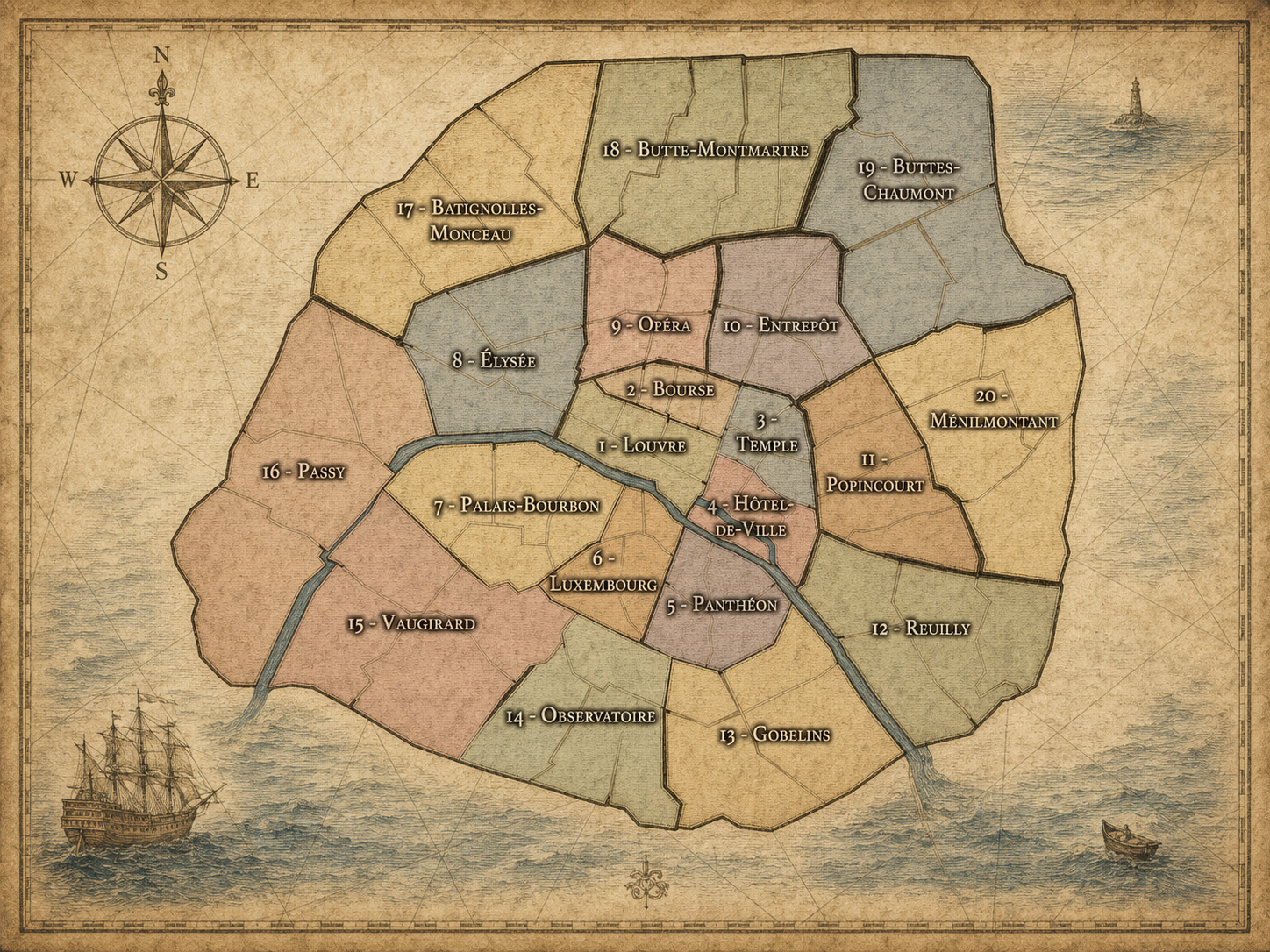
Citywide Paris Maps


Click any Paris Citywide neighborhood map above to open the full-size image.
Within each Arrondissement, are the neighborhood maps for: the Arrondissement, its four Administrative Quarters, its Conseils de Quartier, and any Cultural Neighborhoods within it.
1er - Louvre


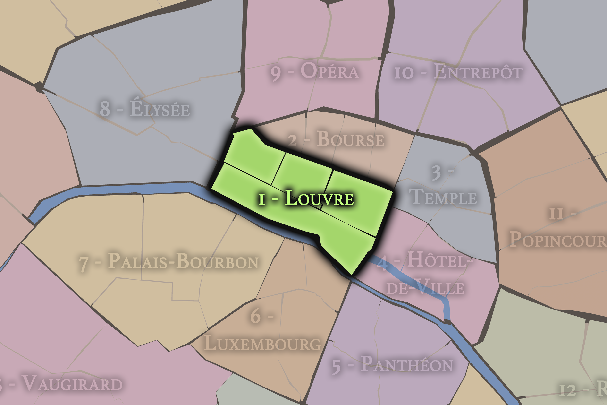
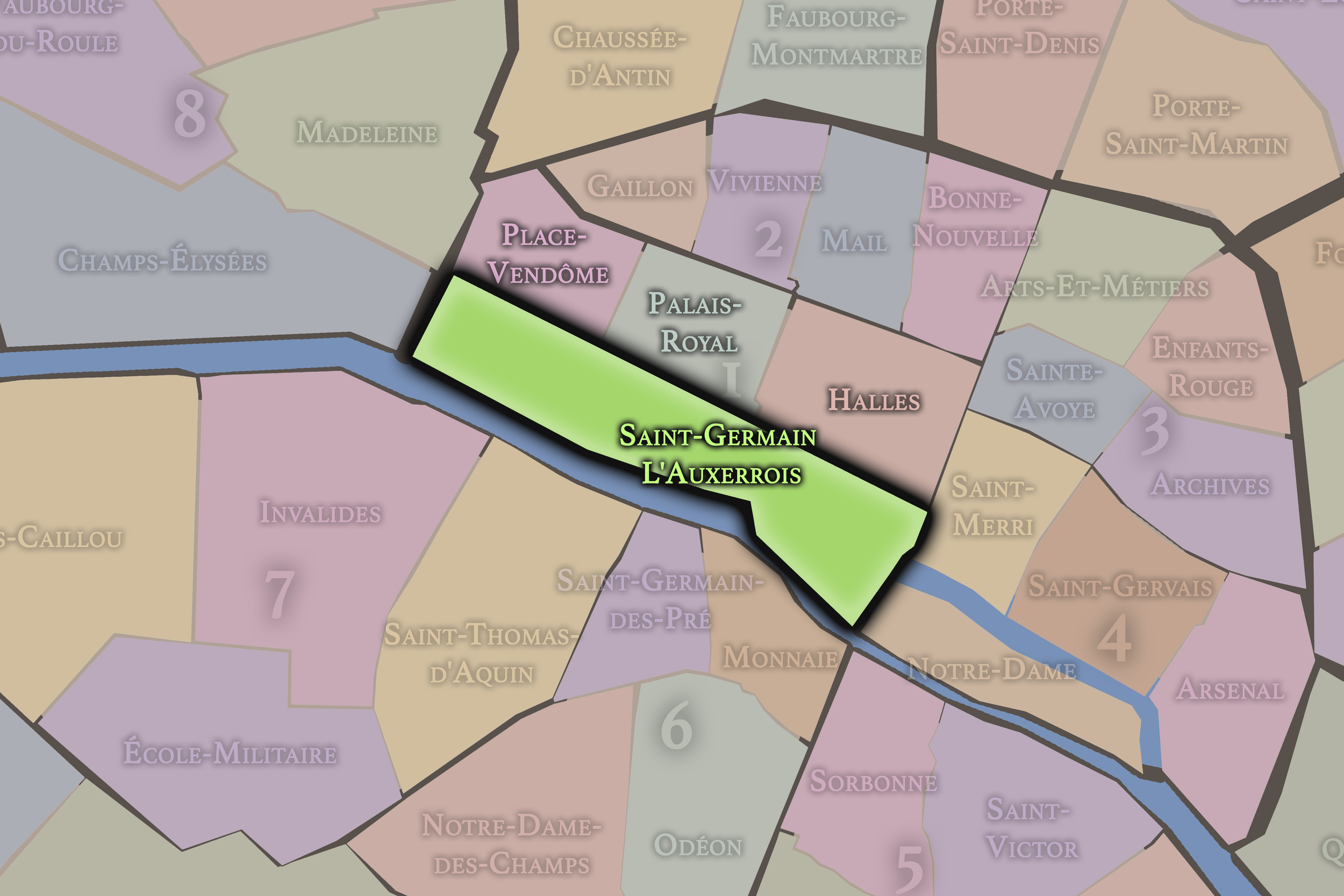
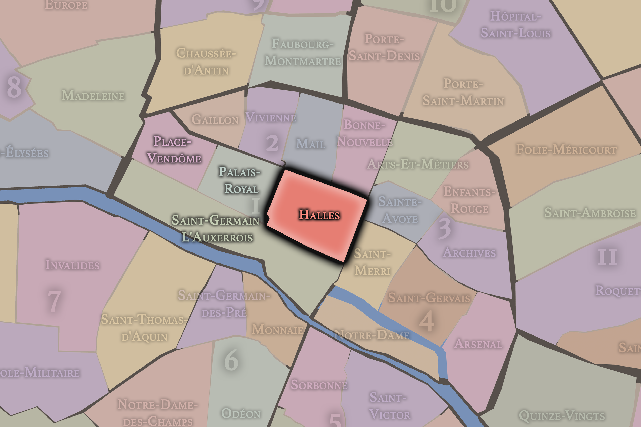
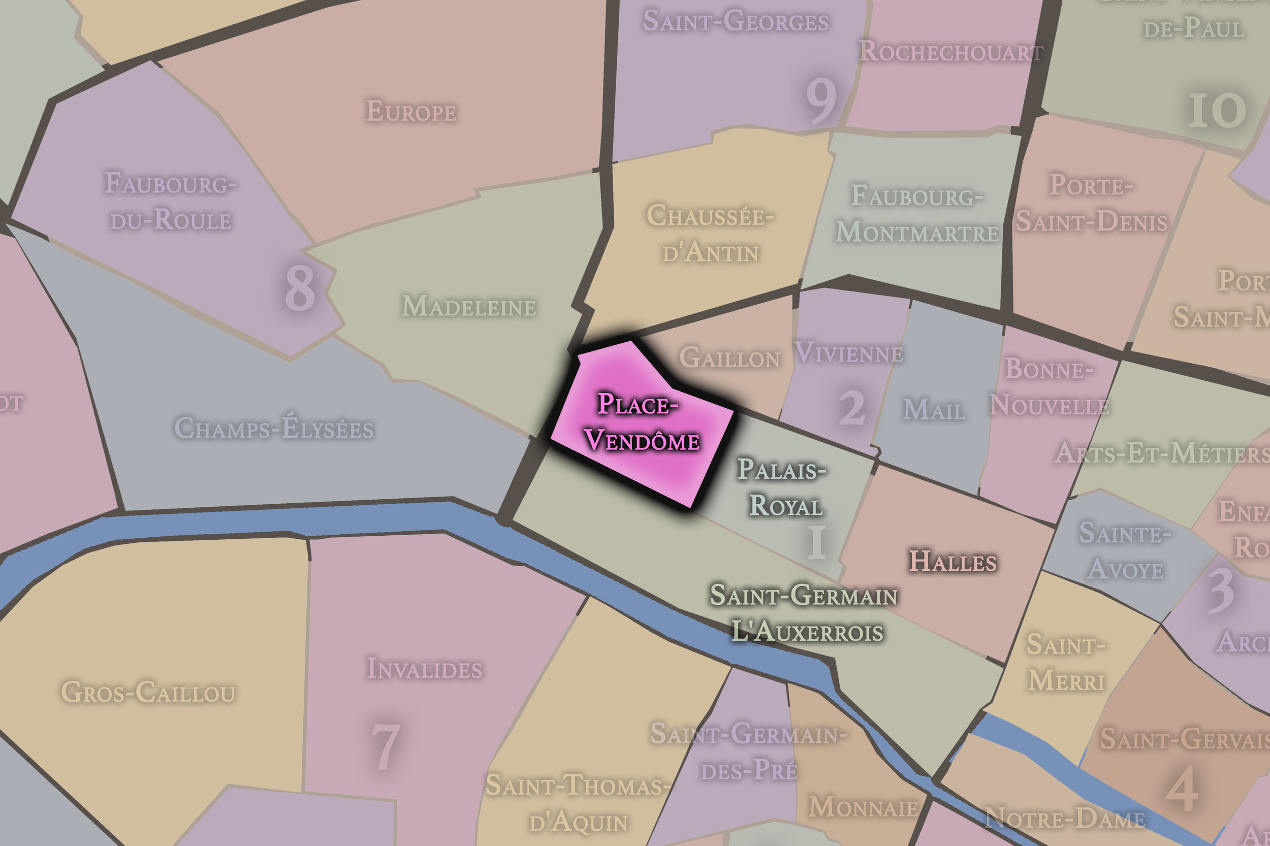
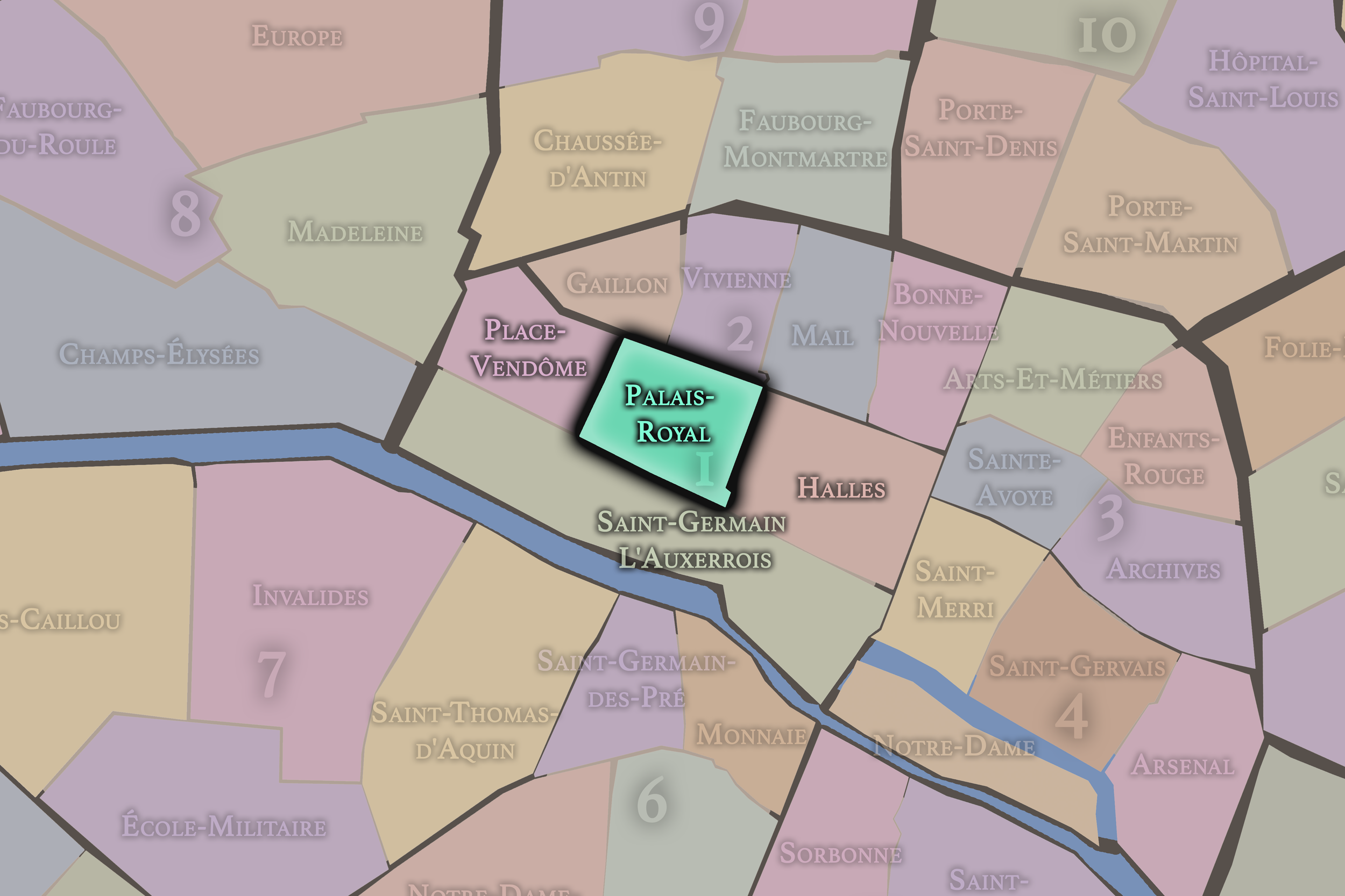
Click any neighborhood map above to open the full-size image. Use the gallery link below to explore additional stylized versions of these Paris neighborhood maps.
2e - Bourse


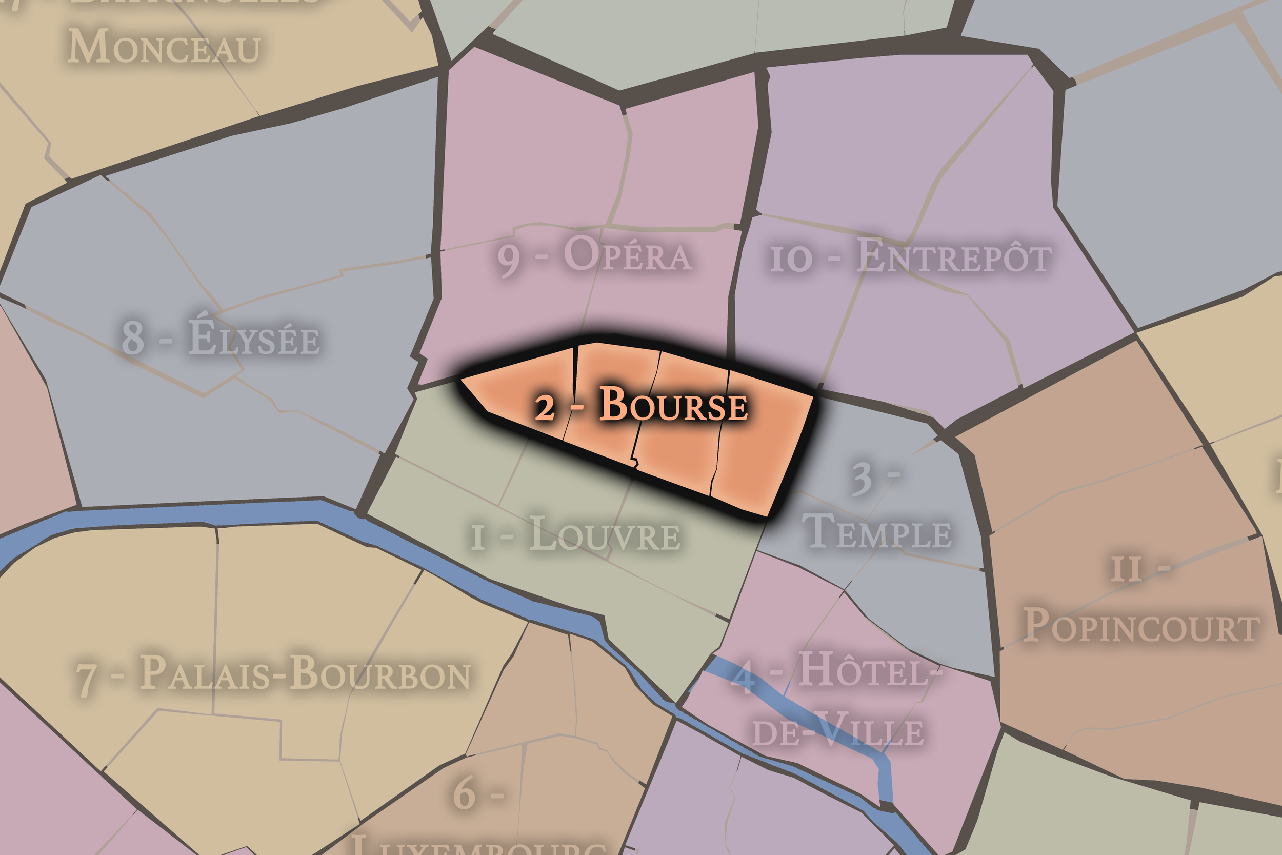
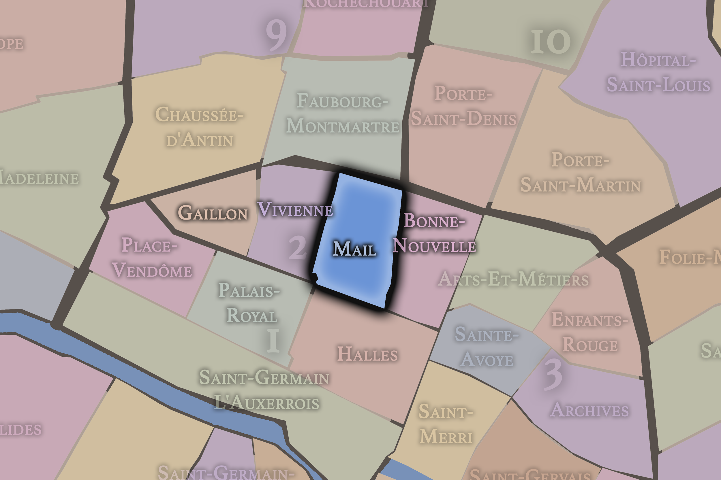


Click any neighborhood map above to open the full-size image. Use the gallery link below to explore additional stylized versions of these Paris neighborhood maps.
3e - Temple


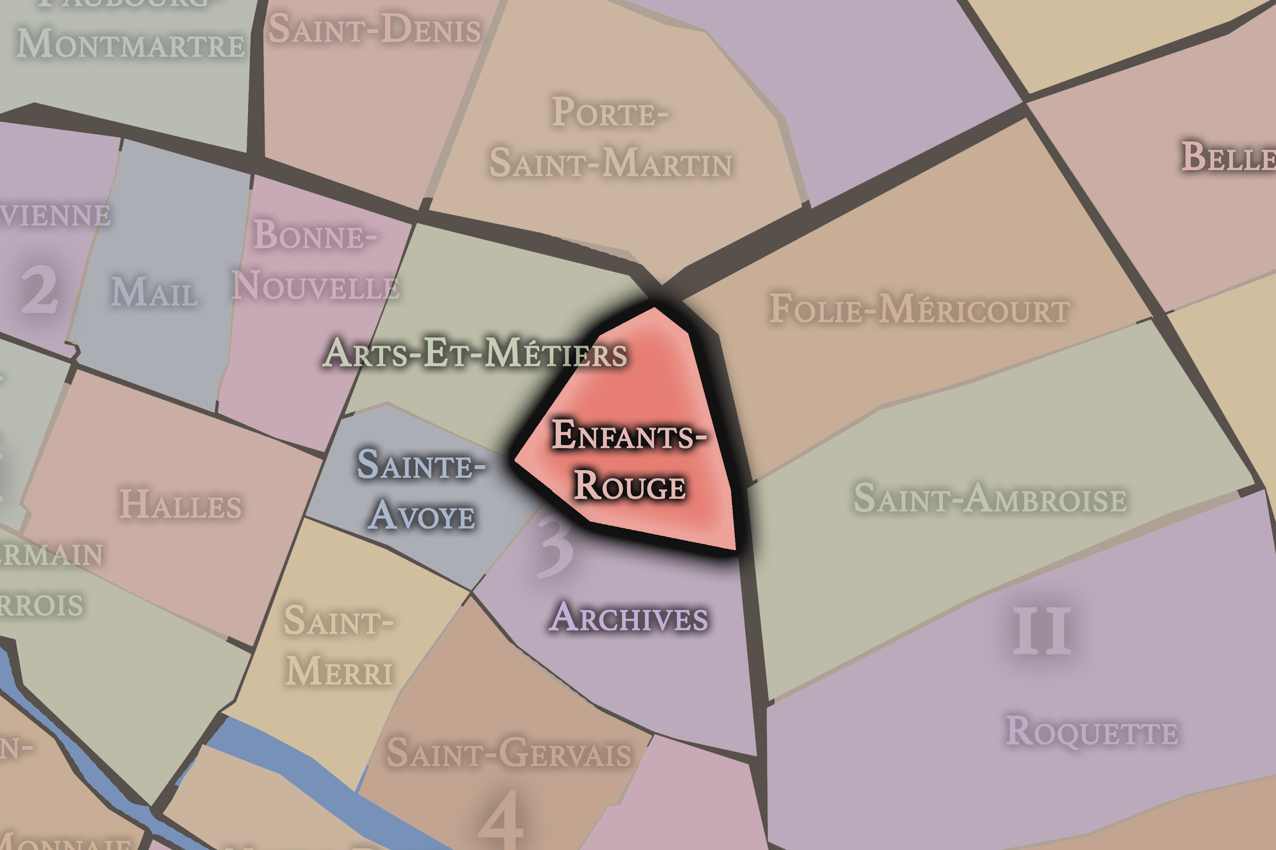

Click any neighborhood map above to open the full-size image. Use the gallery link below to explore additional stylized versions of these Paris neighborhood maps.
4e - Hôtel-de-Ville


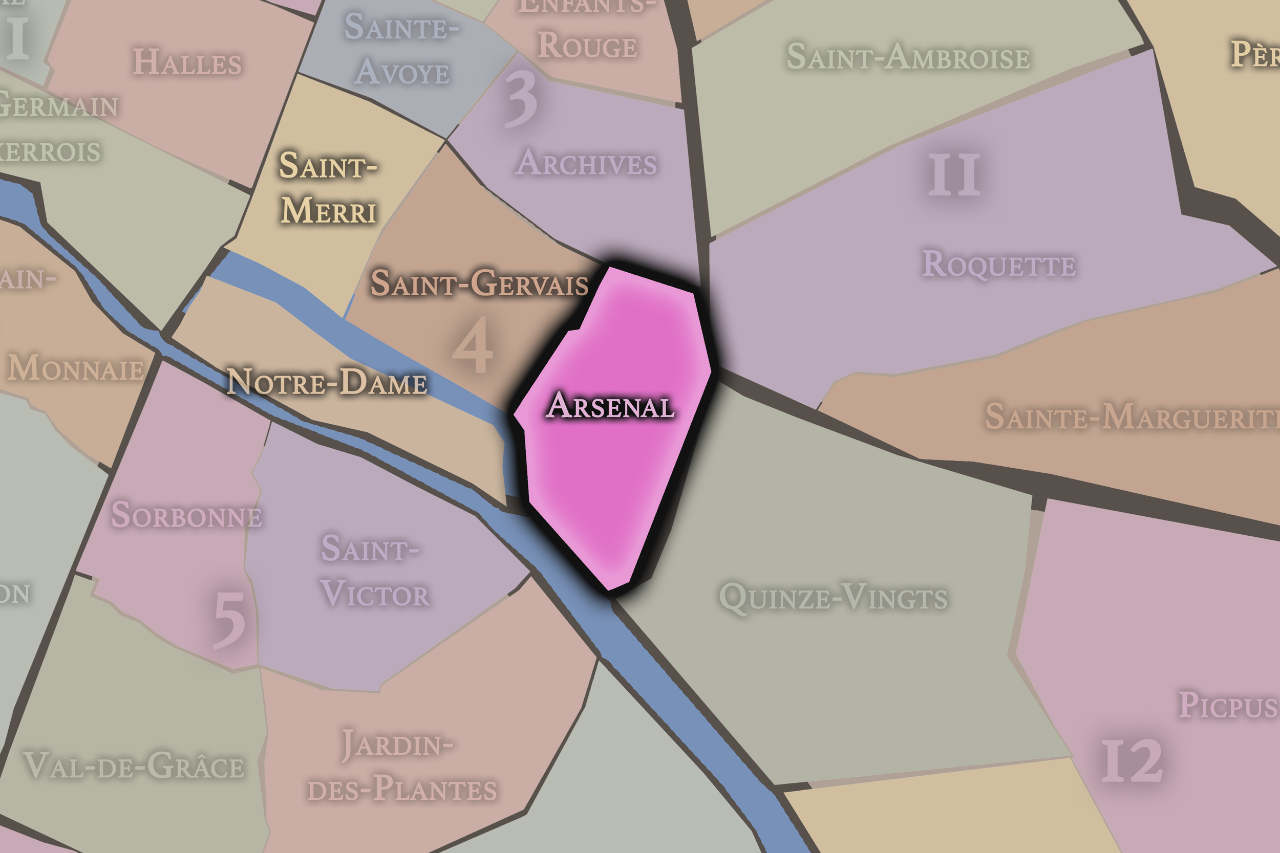

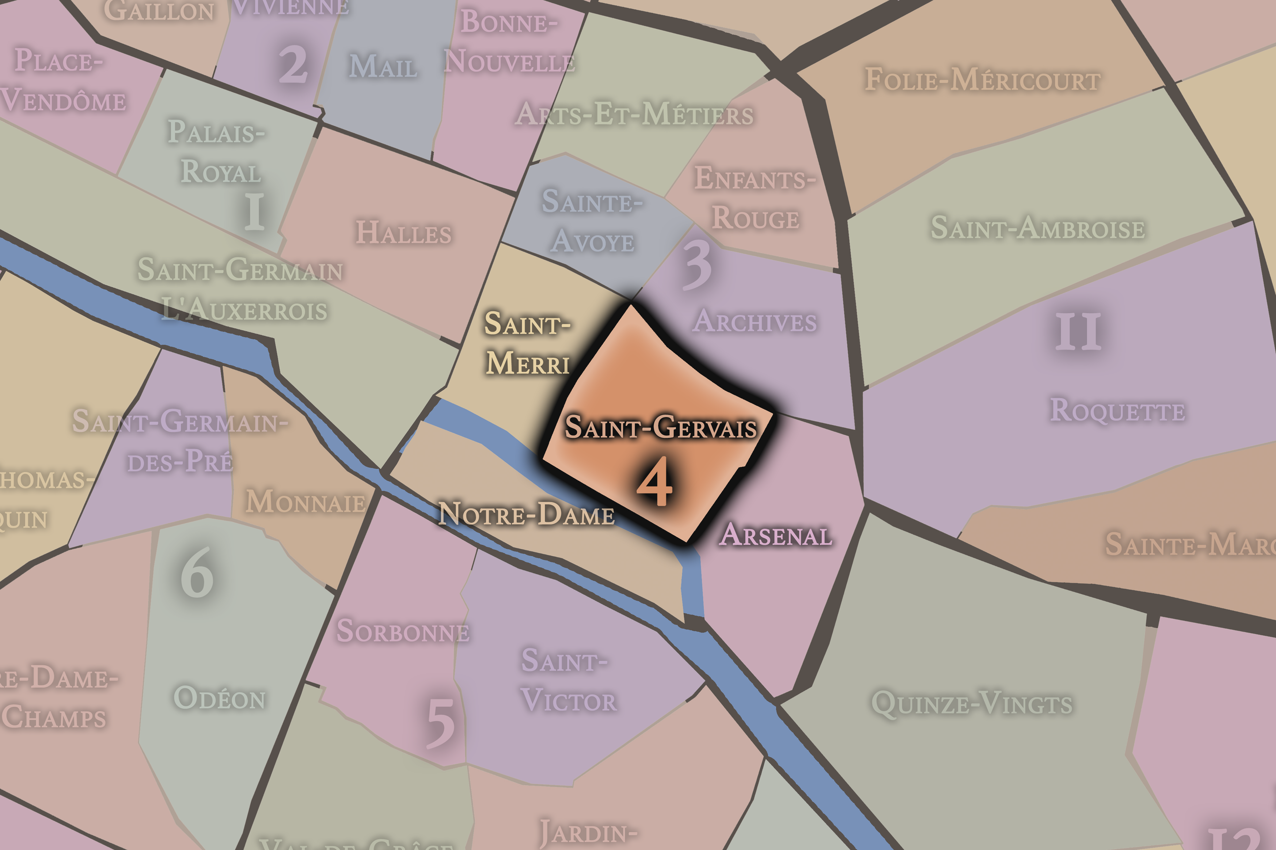

Click any neighborhood map above to open the full-size image. Use the gallery link below to explore additional stylized versions of these Paris neighborhood maps.
5e - Panthéon


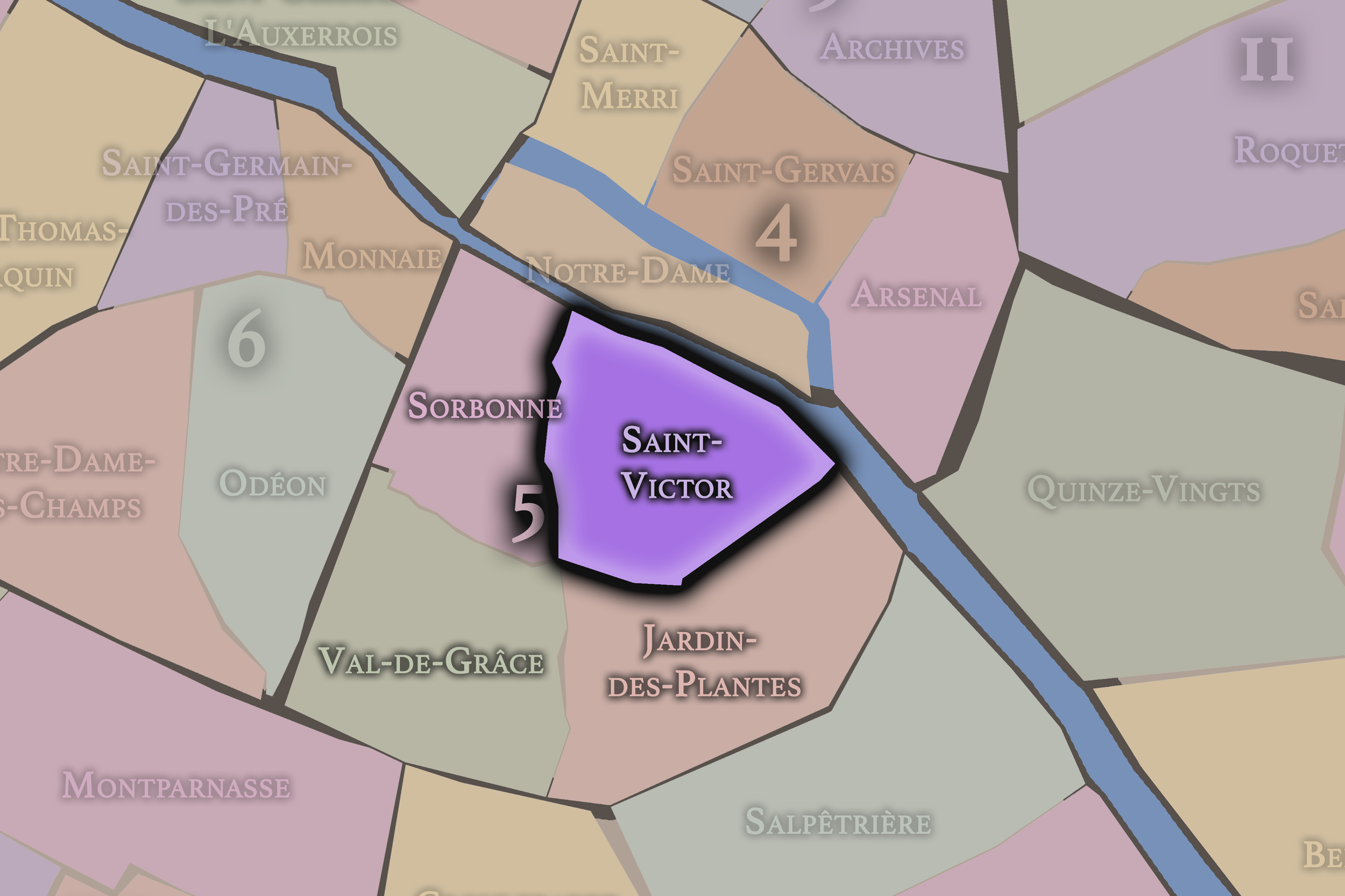

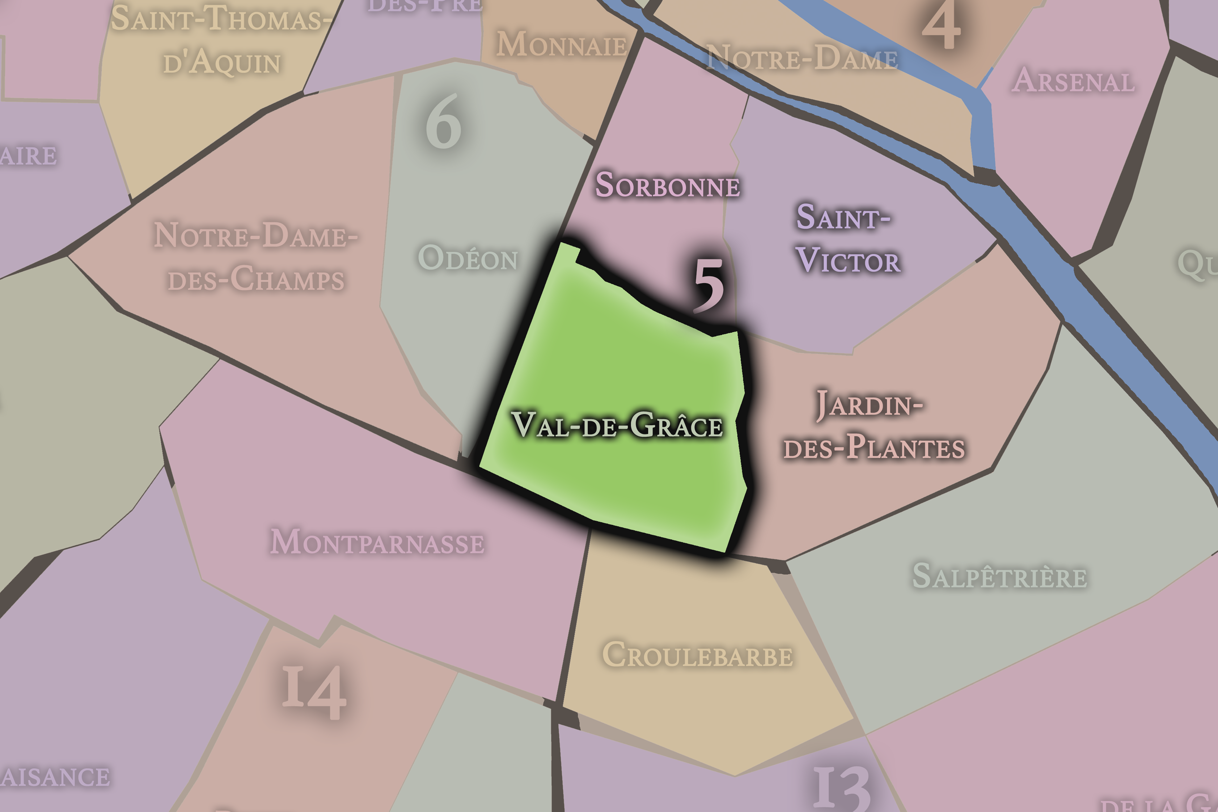

Click any neighborhood map above to open the full-size image. Use the gallery link below to explore additional stylized versions of these Paris neighborhood maps.
6e - Luxembourg


Click any neighborhood map above to open the full-size image. Use the gallery link below to explore additional stylized versions of these Paris neighborhood maps.
7e - Palais-Bourbon


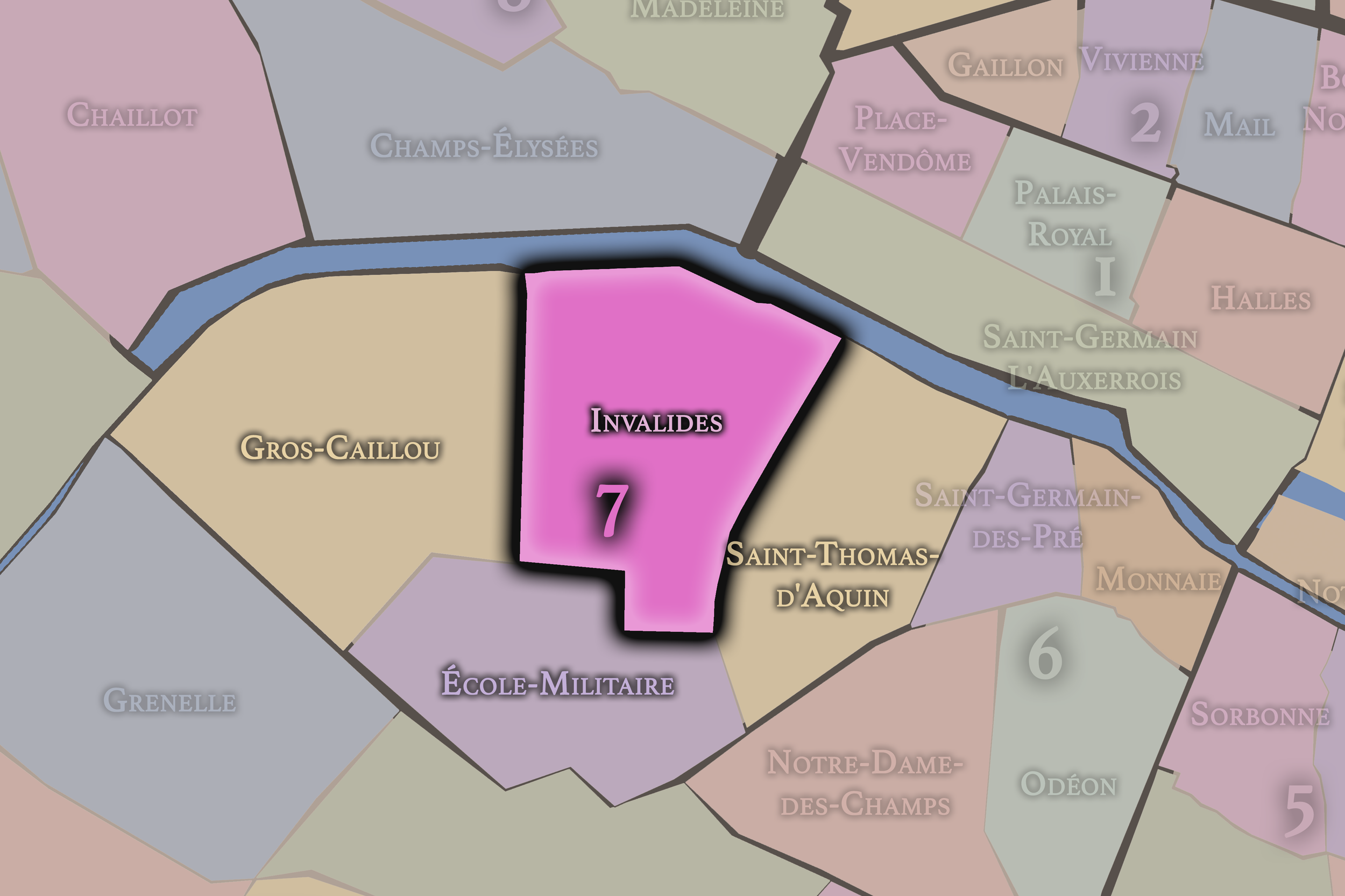


Click any neighborhood map above to open the full-size image. Use the gallery link below to explore additional stylized versions of these Paris neighborhood maps.
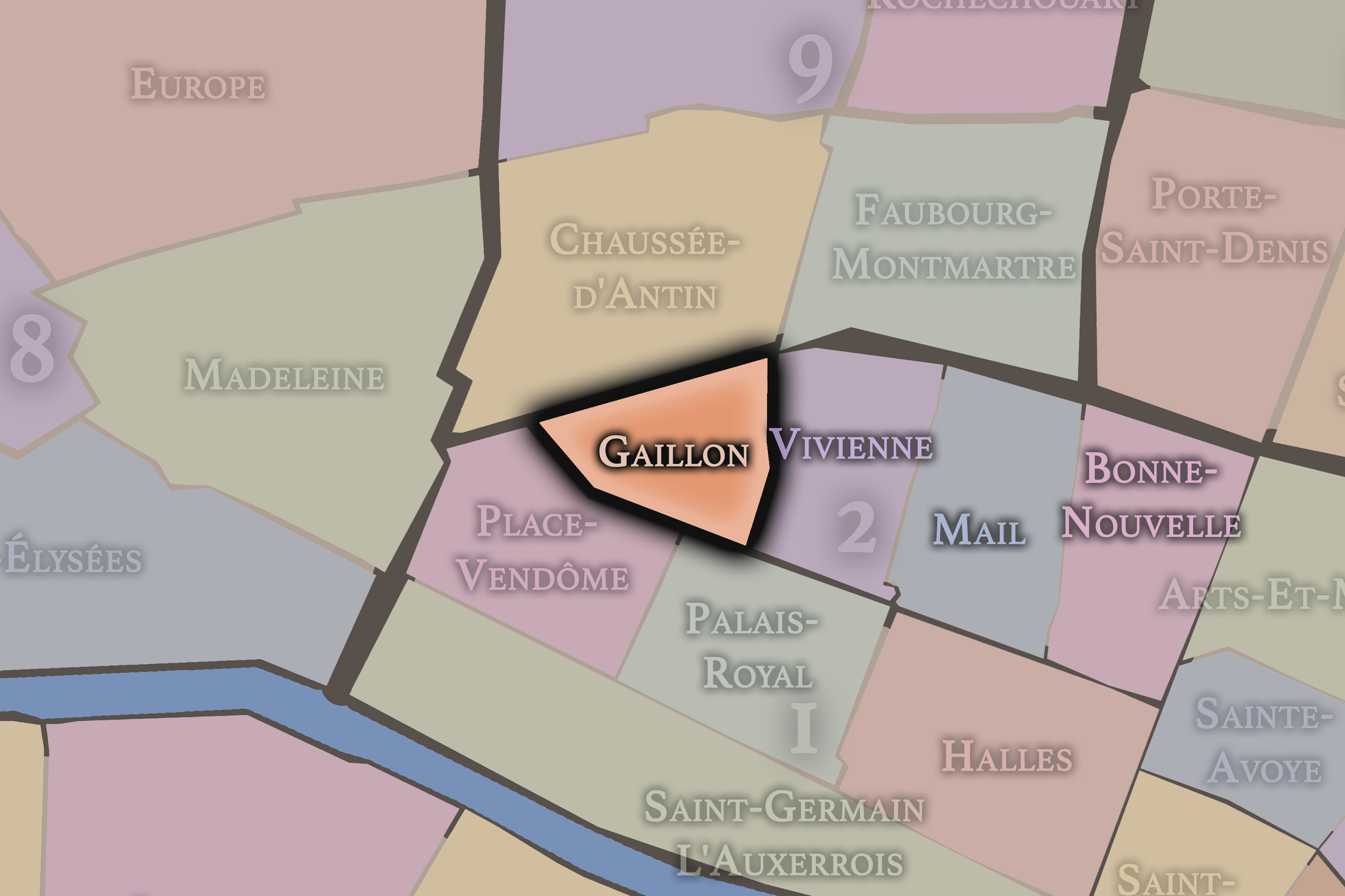
8e - Élysée


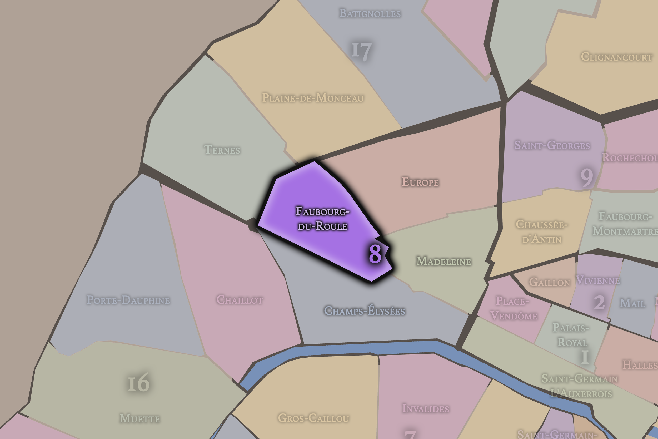
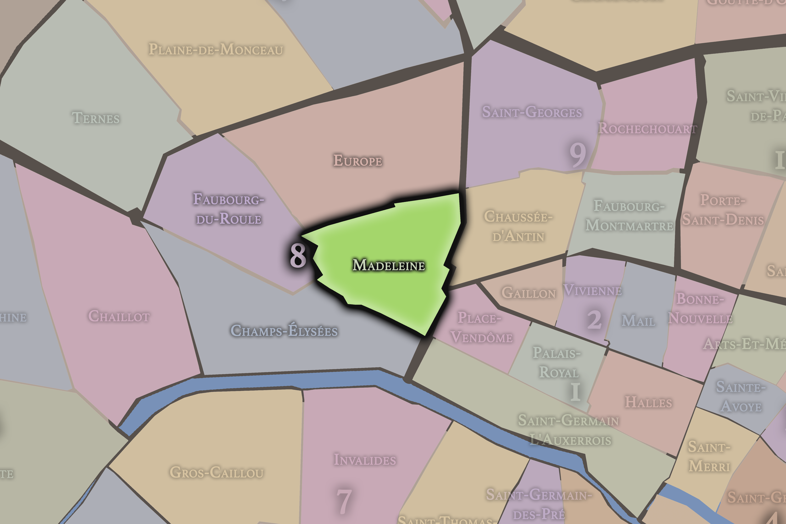

Click any neighborhood map above to open the full-size image. Use the gallery link below to explore additional stylized versions of these Paris neighborhood maps.
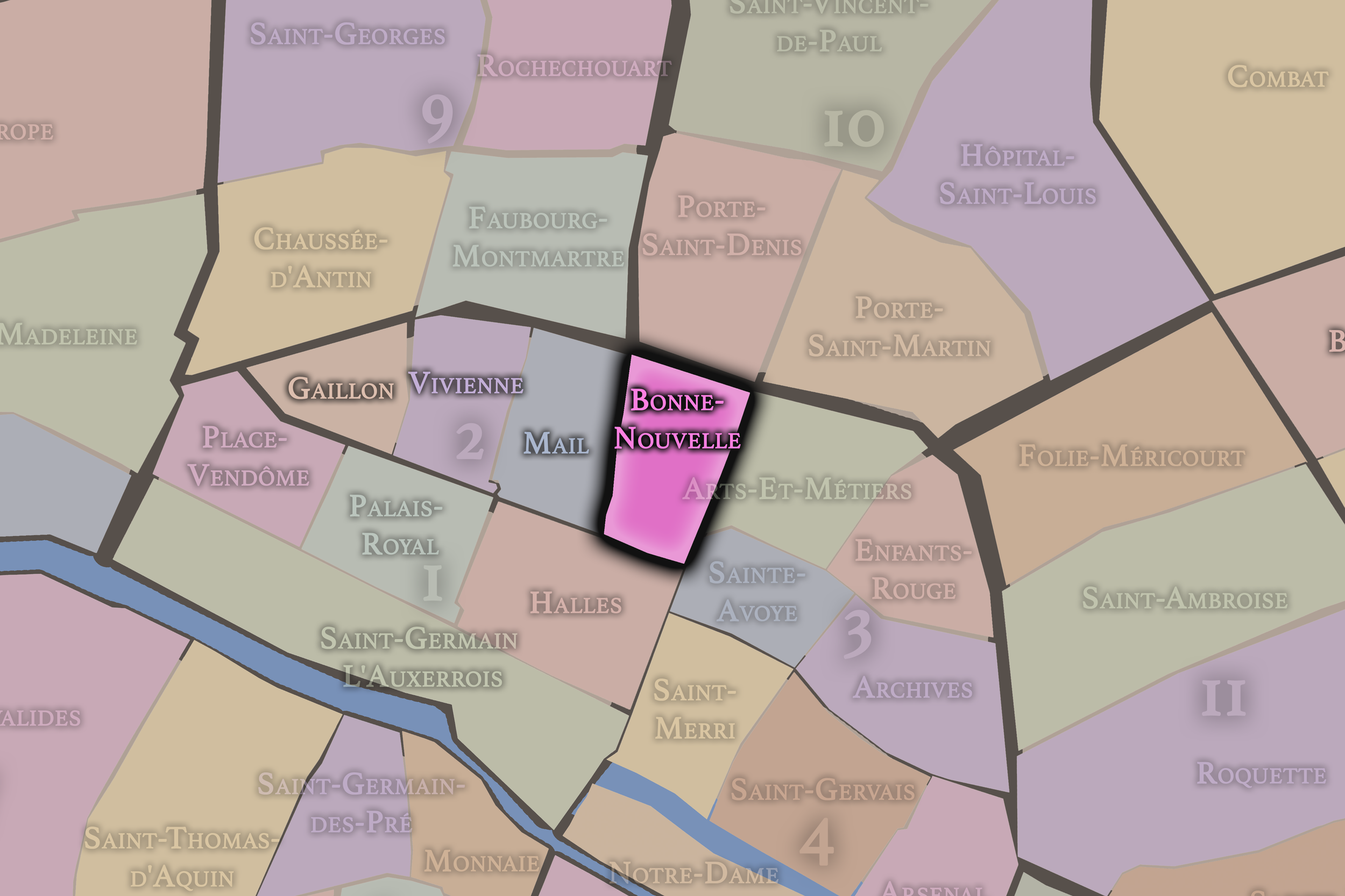
9e - Opéra


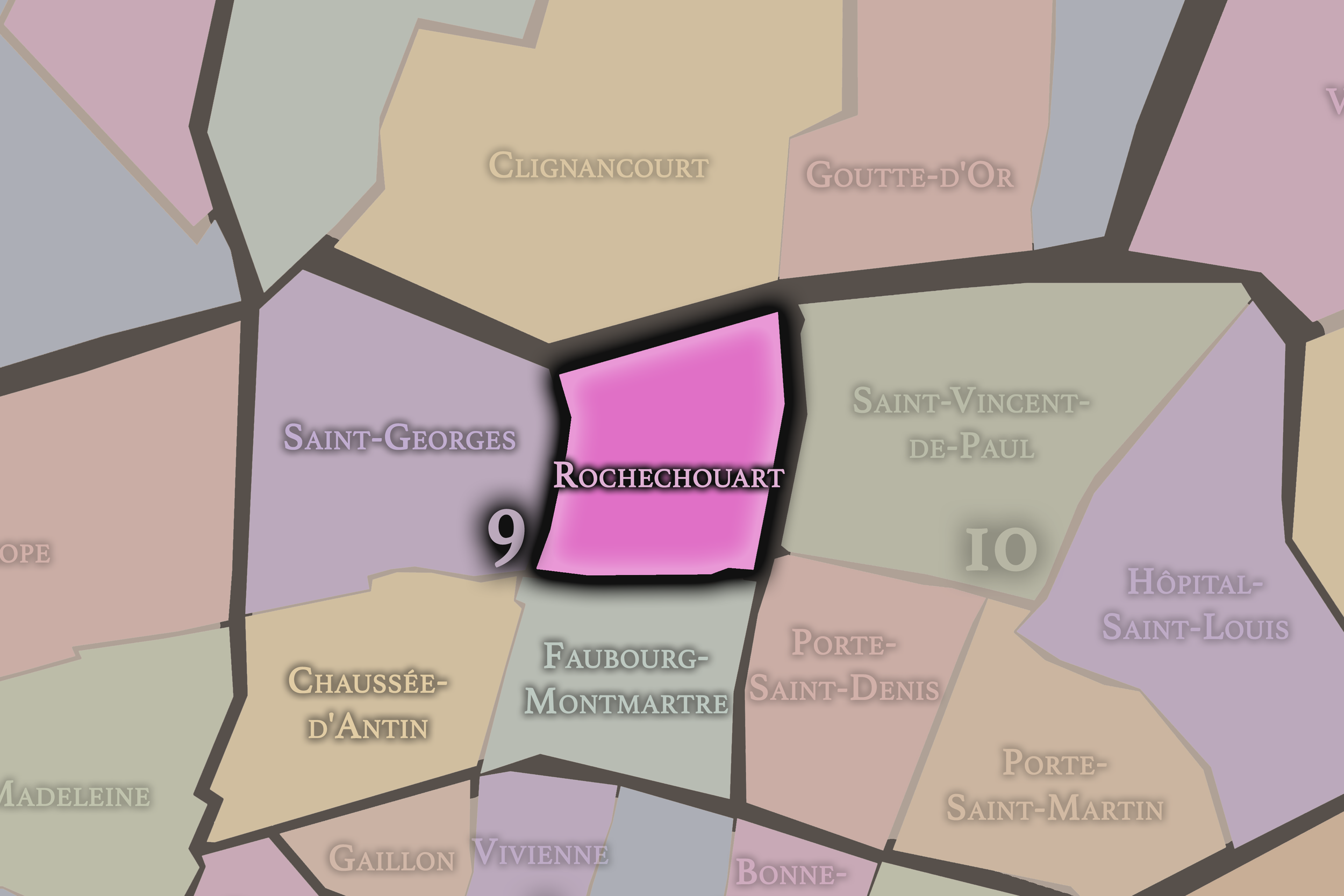


Click any neighborhood map above to open the full-size image. Use the gallery link below to explore additional stylized versions of these Paris neighborhood maps.
10e - Entrepôt


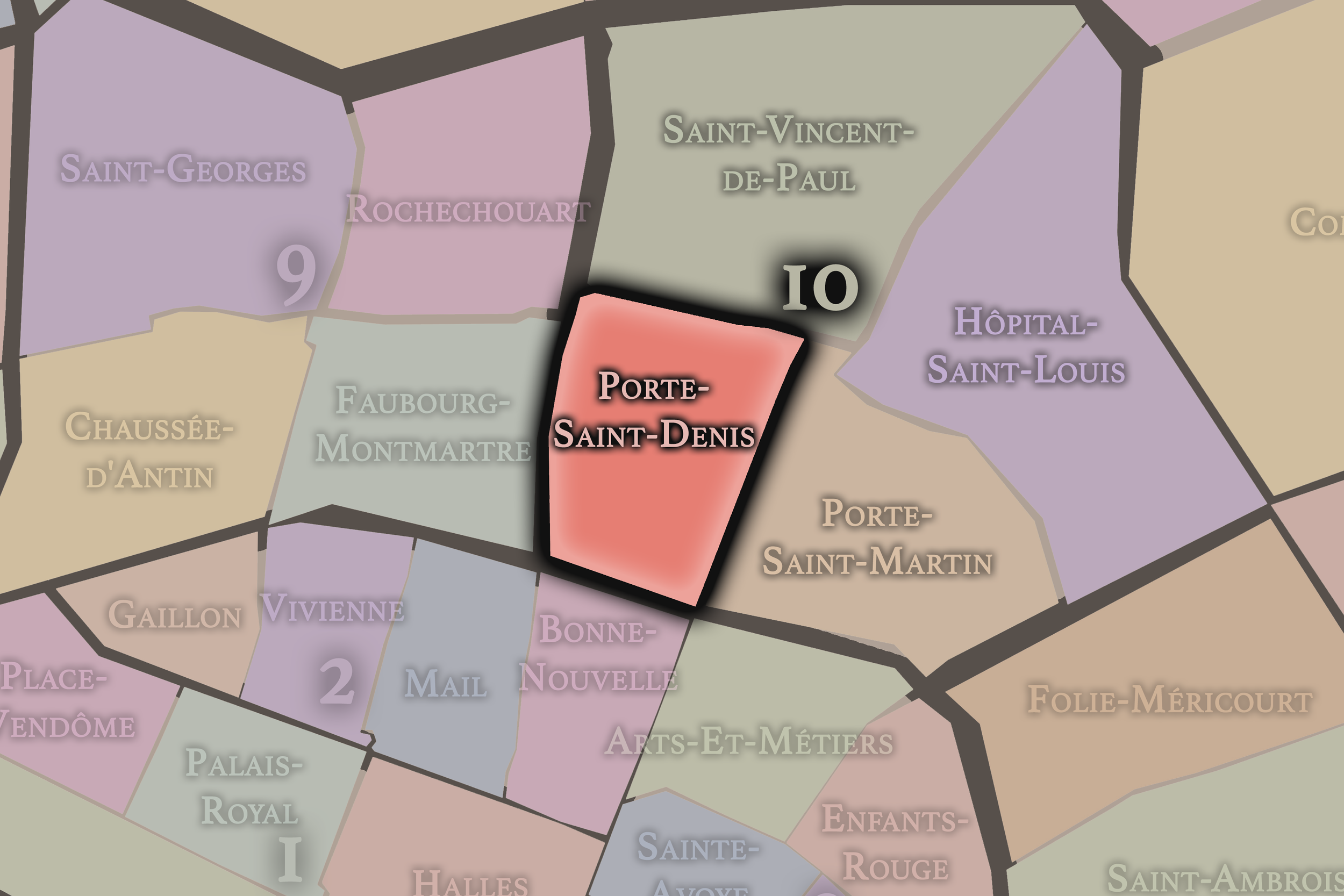

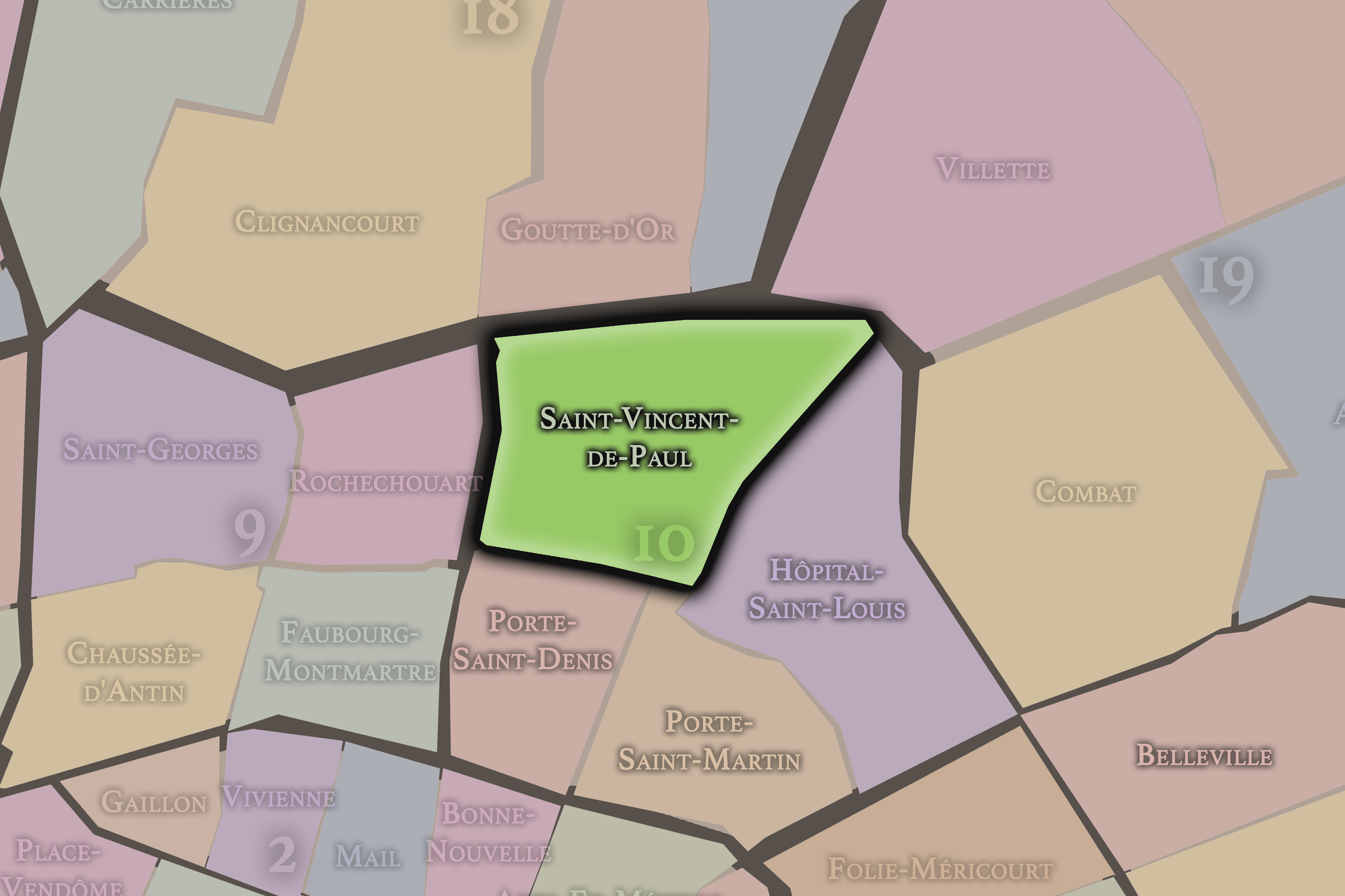

Click any neighborhood map above to open the full-size image. Use the gallery link below to explore additional stylized versions of these Paris neighborhood maps.
11e - Popincourt


Click any neighborhood map above to open the full-size image. Use the gallery link below to explore additional stylized versions of these Paris neighborhood maps.
12e - Reuilly


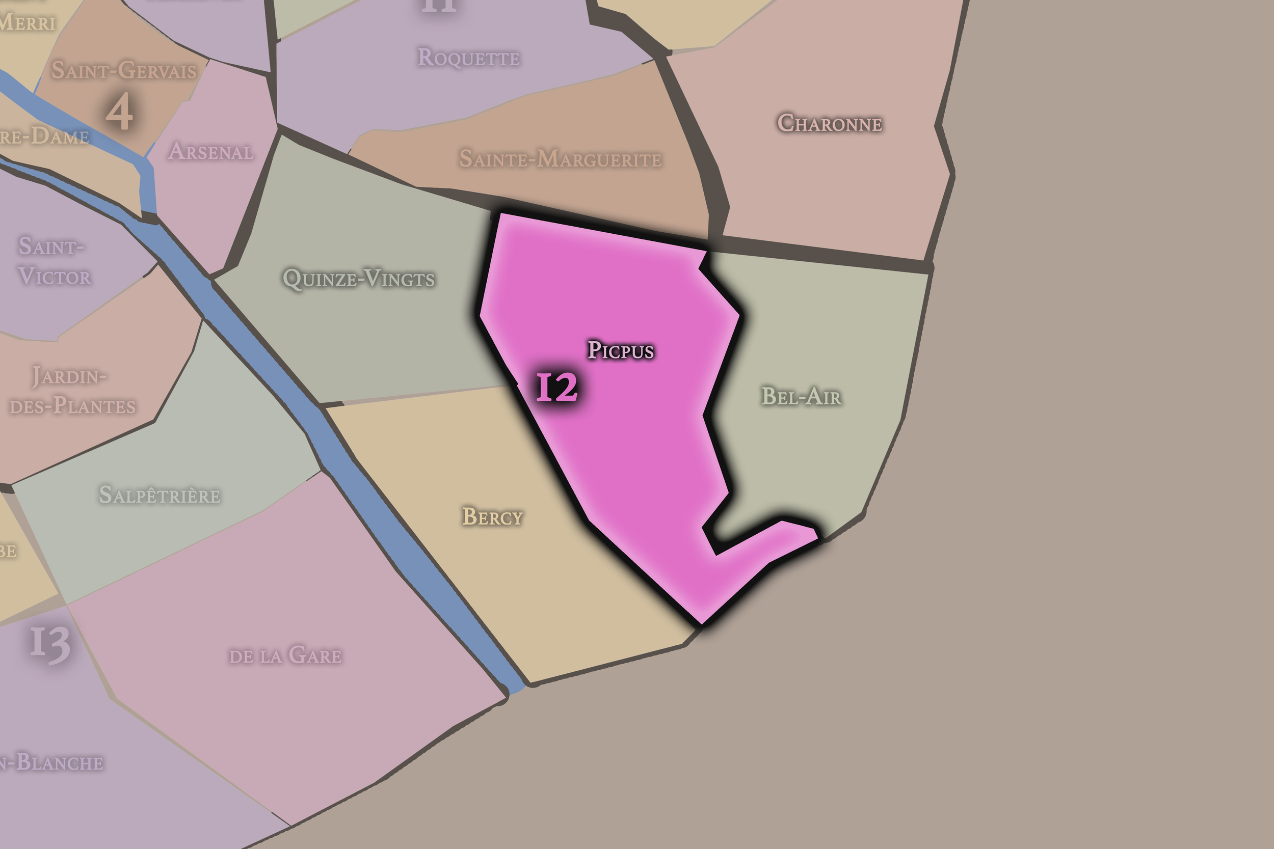


Click any neighborhood map above to open the full-size image. Use the gallery link below to explore additional stylized versions of these Paris neighborhood maps.
13e - Gobelins


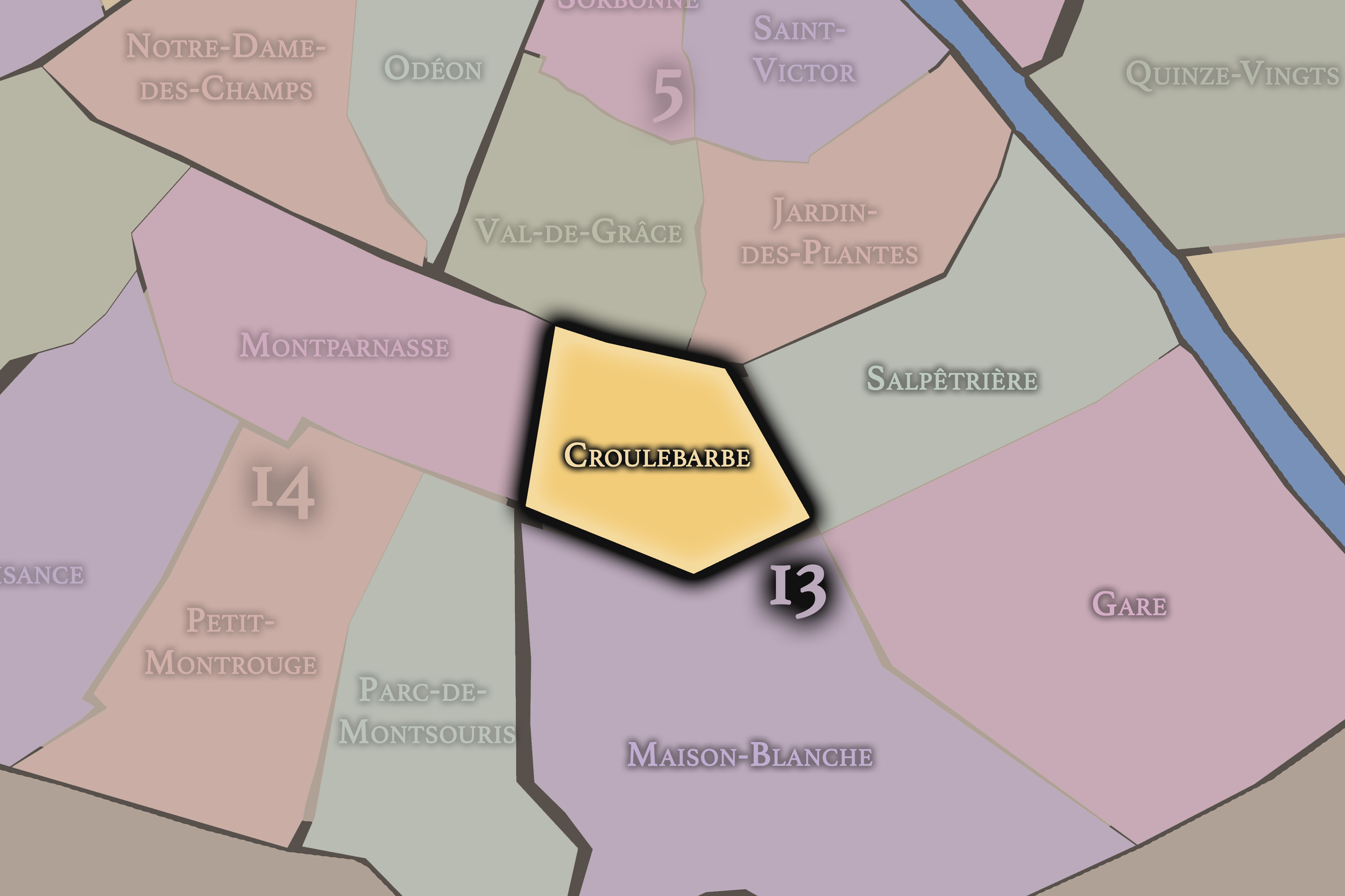


Click any neighborhood map above to open the full-size image. Use the gallery link below to explore additional stylized versions of these Paris neighborhood maps.
14e - Observatoire


Click any neighborhood map above to open the full-size image. Use the gallery link below to explore additional stylized versions of these Paris neighborhood maps.
15e - Vaugirard


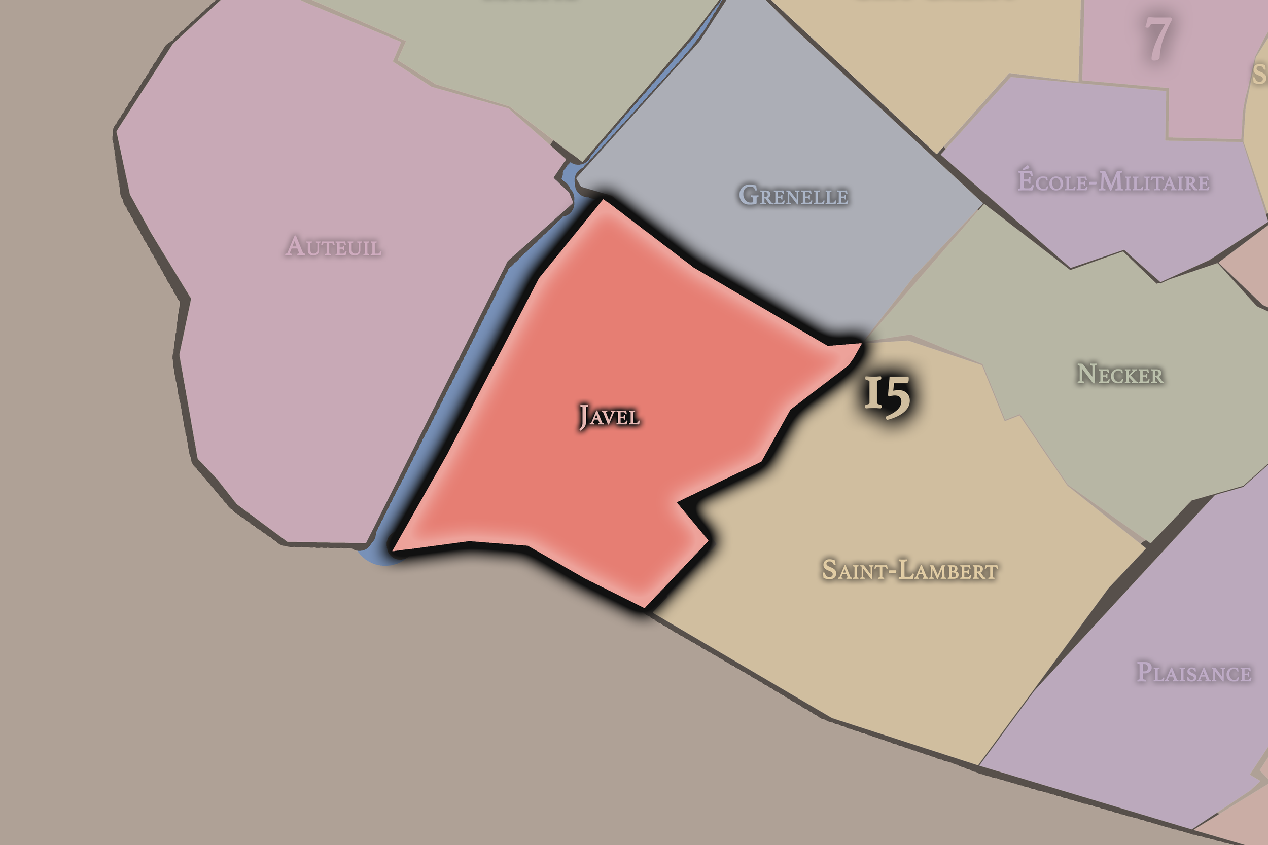


Click any neighborhood map above to open the full-size image. Use the gallery link below to explore additional stylized versions of these Paris neighborhood maps.
16e - Passy


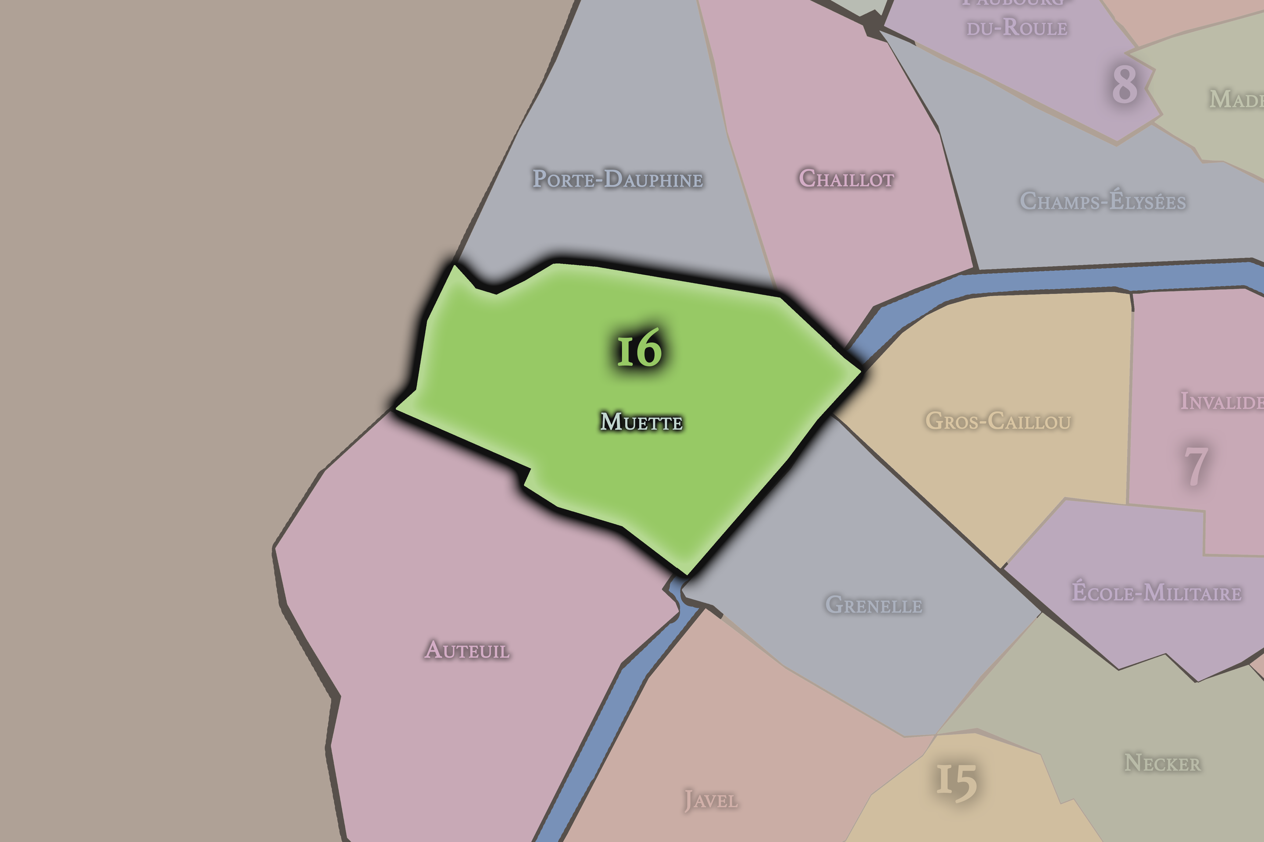


Click any neighborhood map above to open the full-size image. Use the gallery link below to explore additional stylized versions of these Paris neighborhood maps.
17e - Batignolles-Monceau


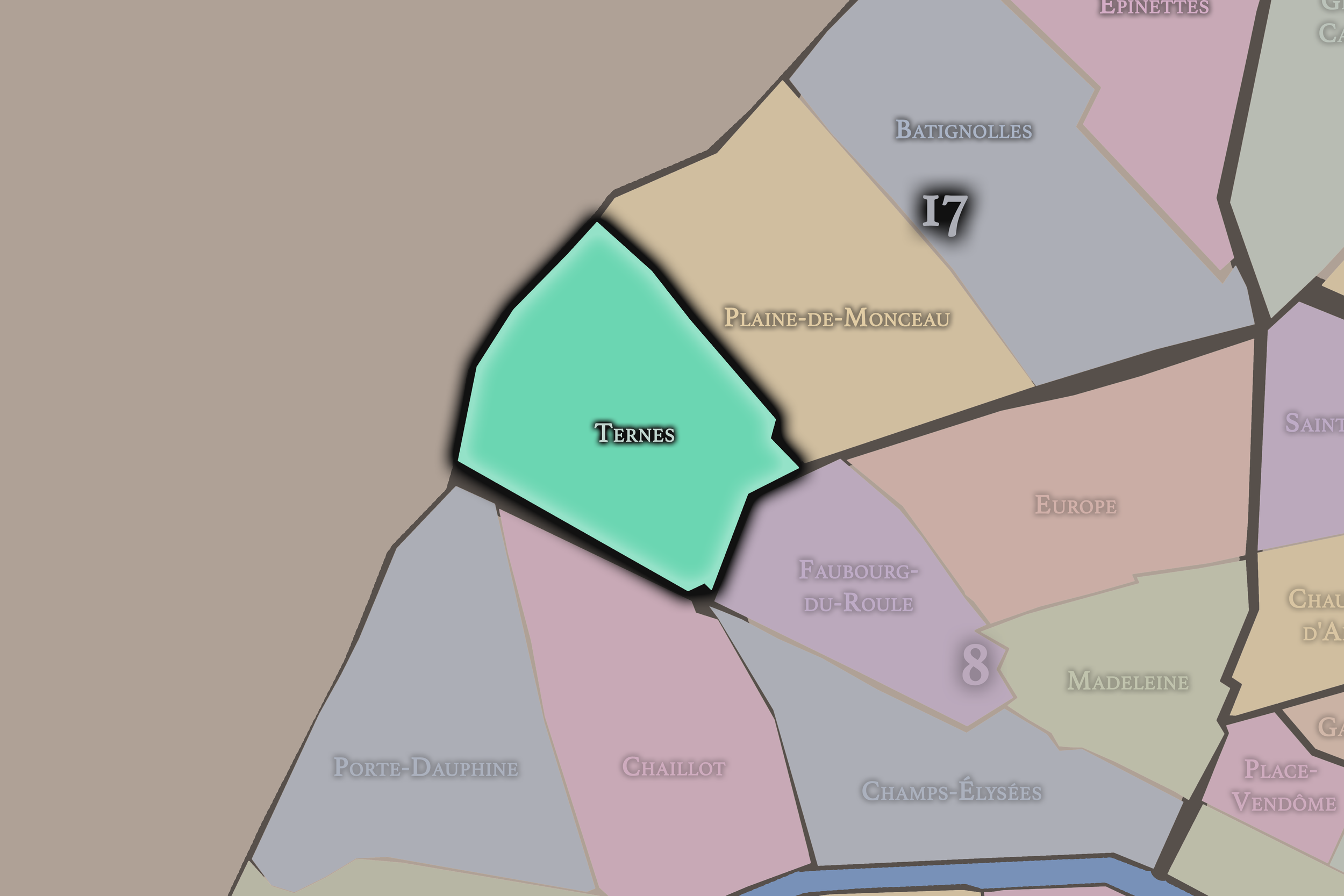

Click any neighborhood map above to open the full-size image. Use the gallery link below to explore additional stylized versions of these Paris neighborhood maps.
18e - Butte-Montmartre


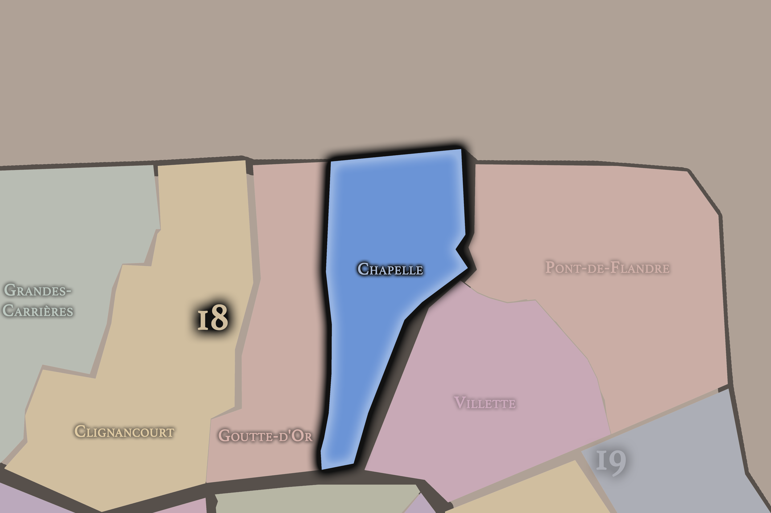
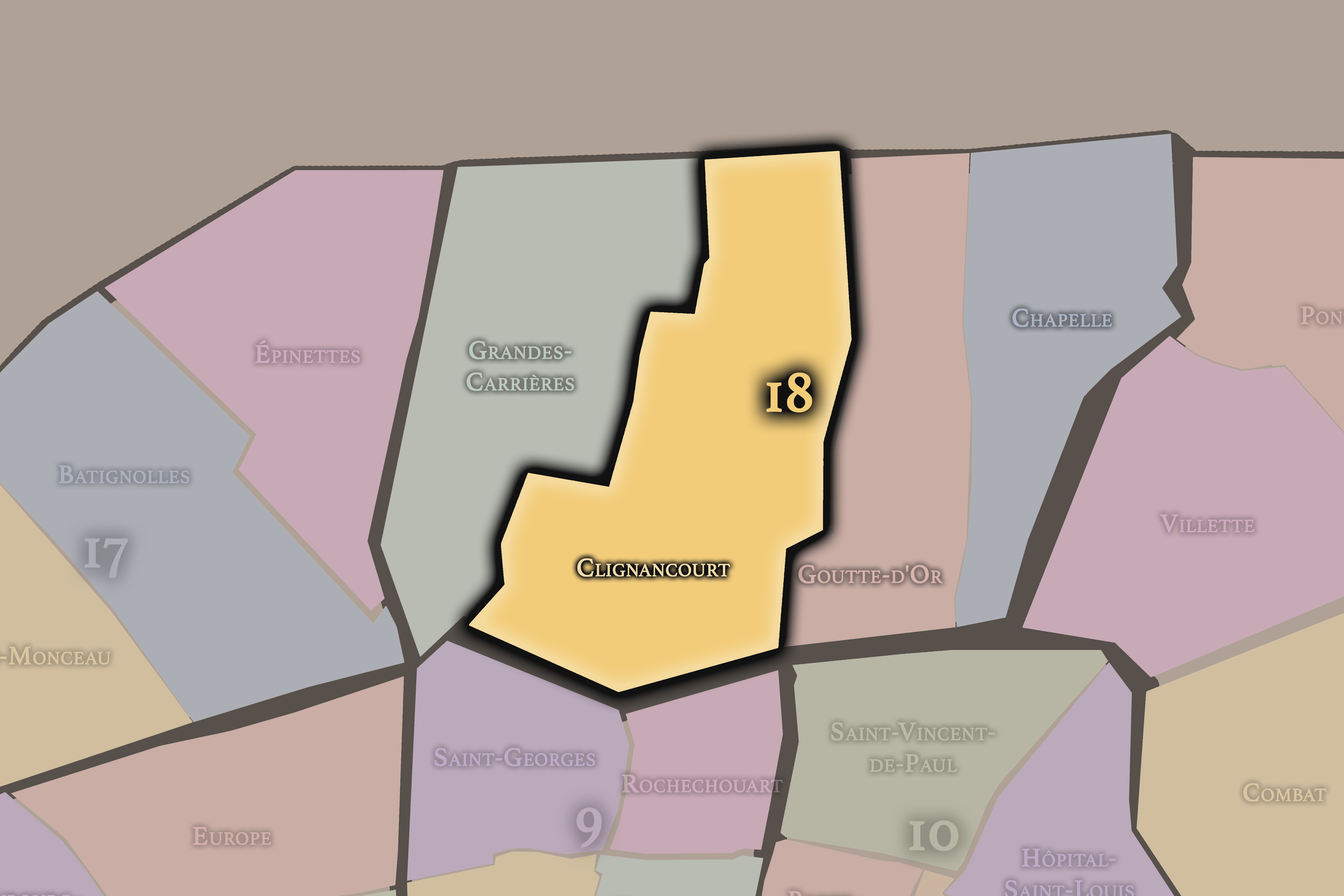
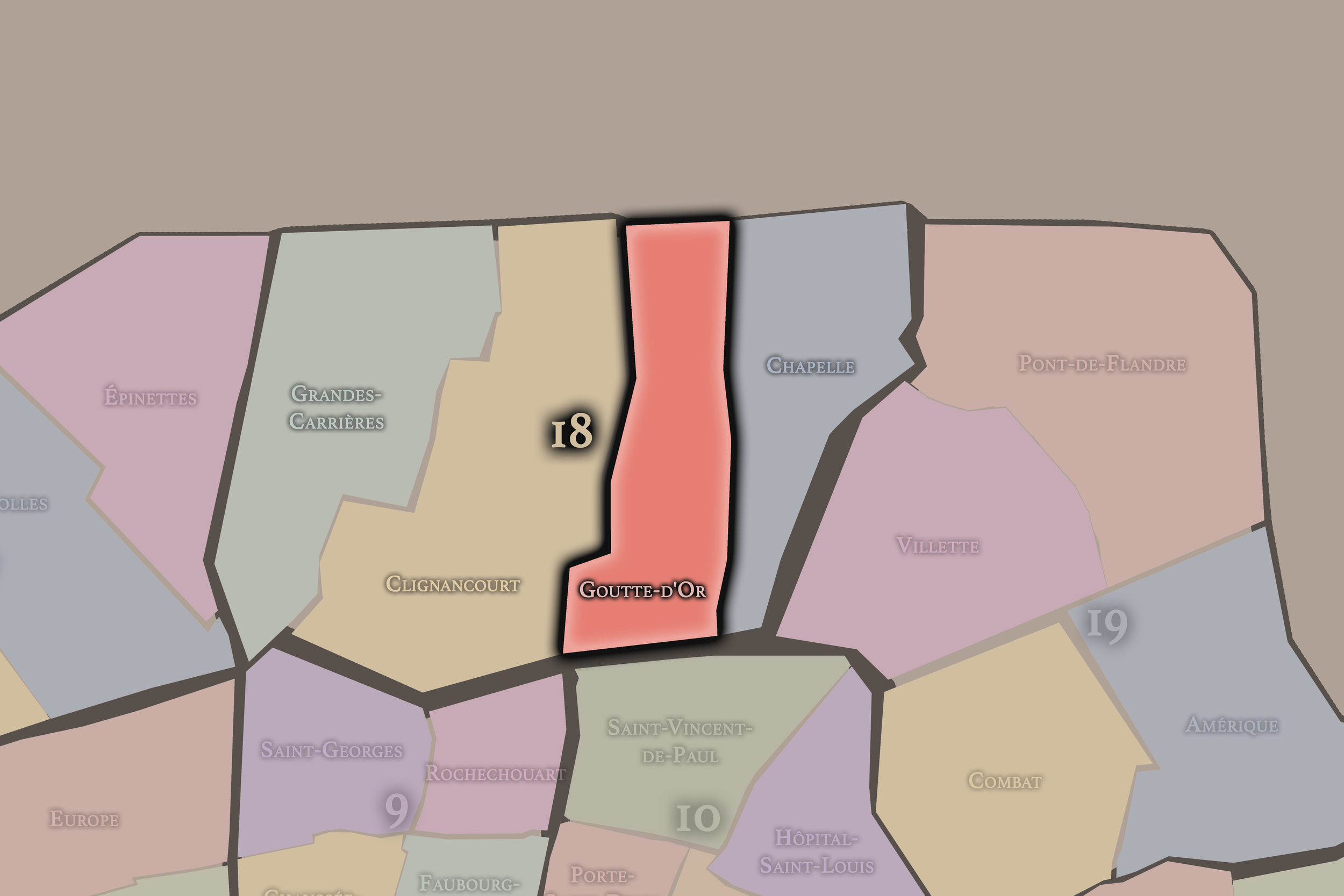


Click any neighborhood map above to open the full-size image. Use the gallery link below to explore additional stylized versions of these Paris neighborhood maps.
19e - Buttes-Chaumont


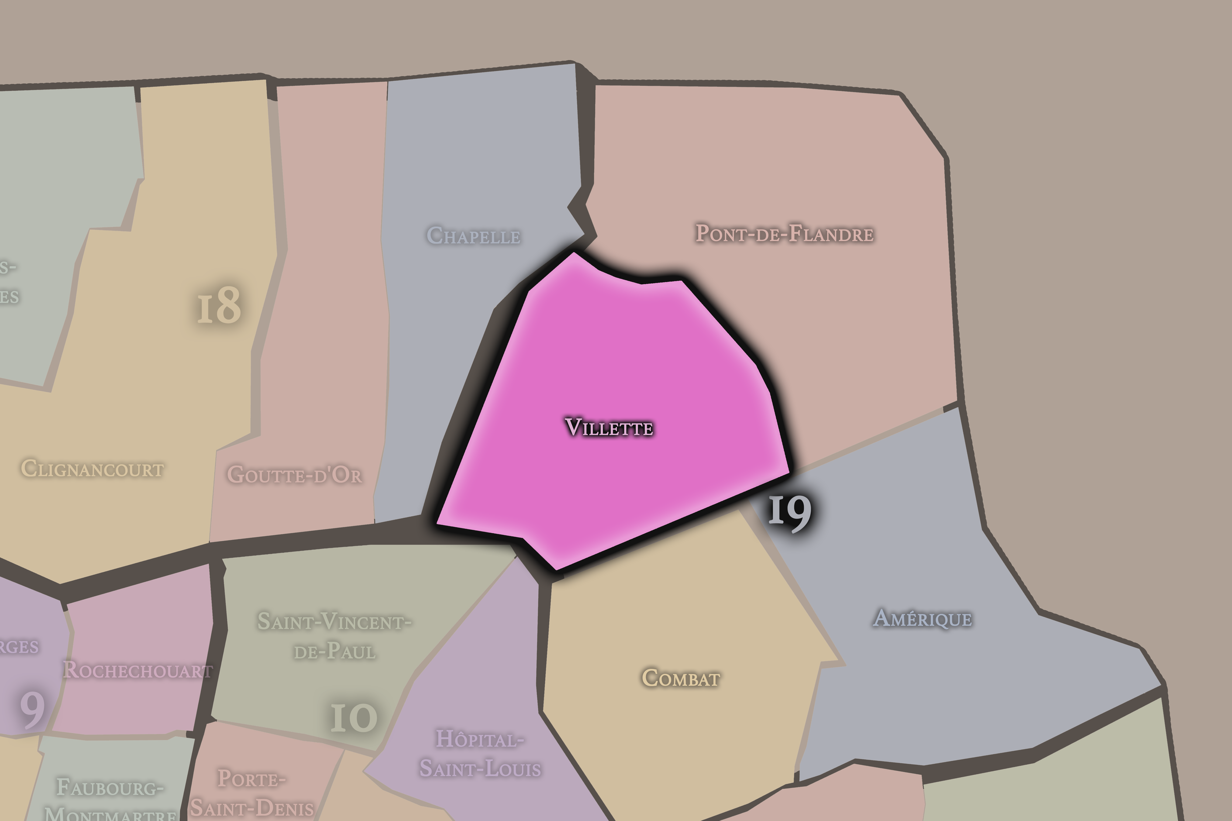

Click any neighborhood map above to open the full-size image. Use the gallery link below to explore additional stylized versions of these Paris neighborhood maps.
20e - Ménilmontant


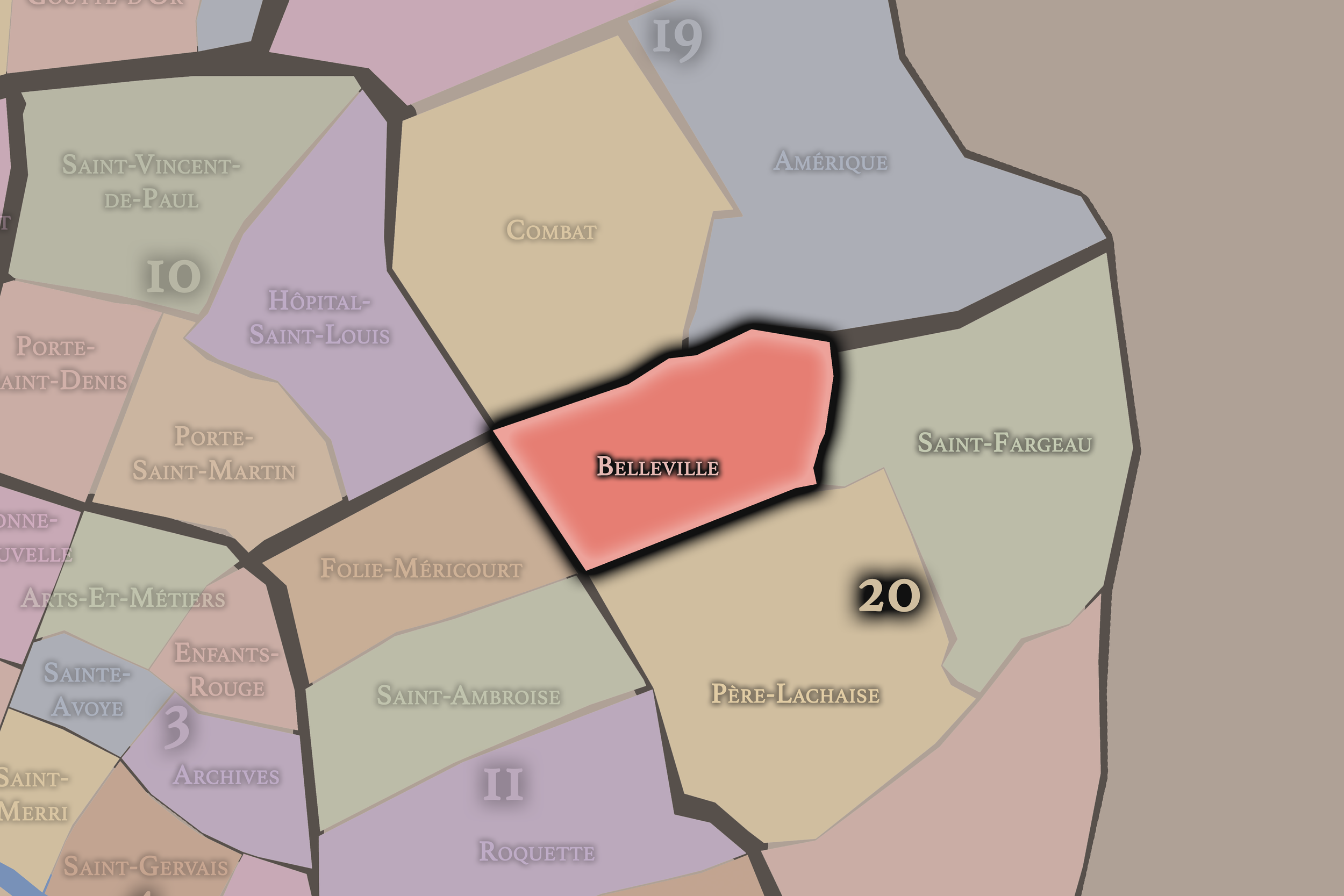

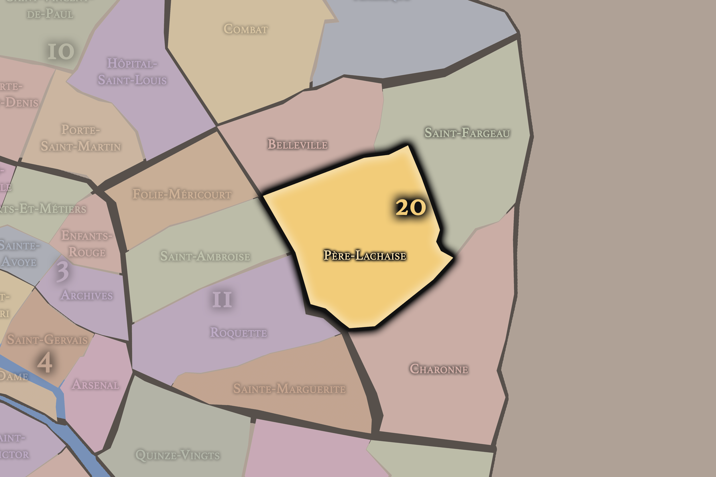
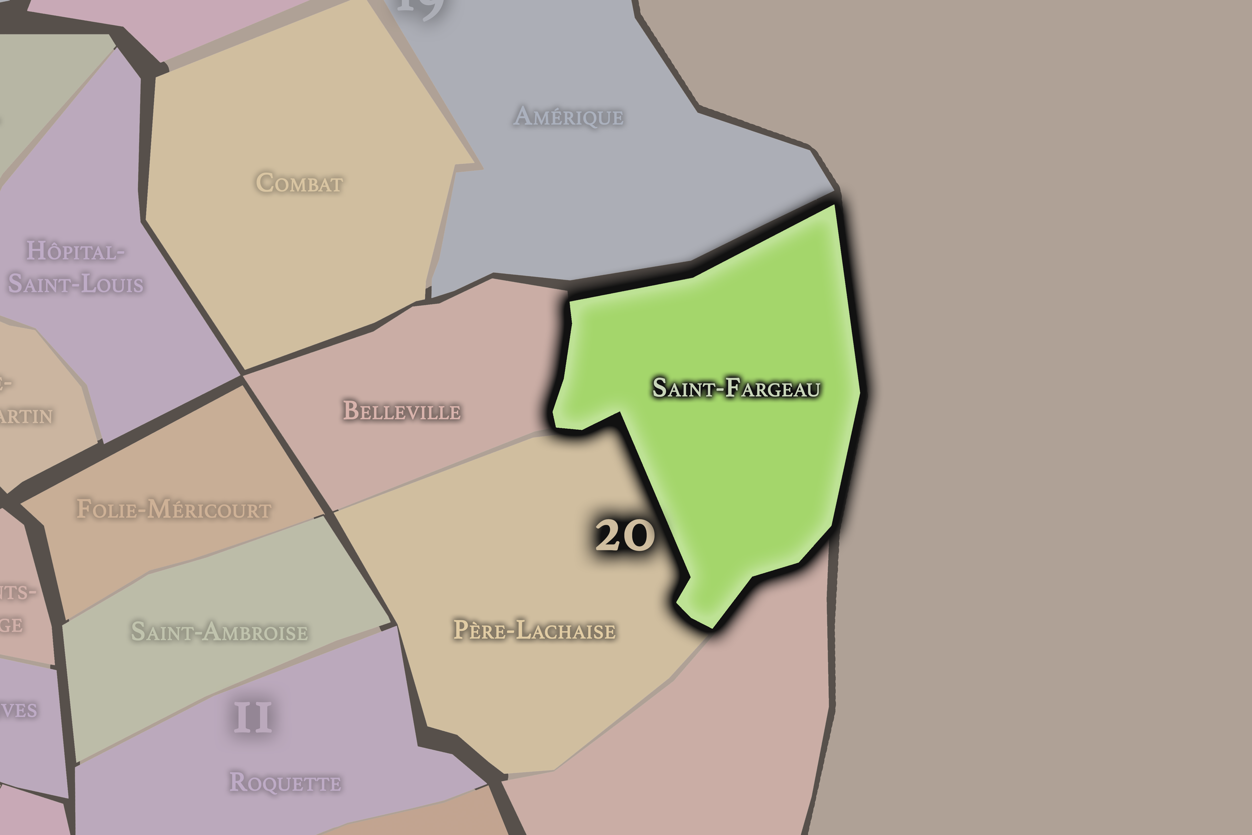

Click any neighborhood map above to open the full-size image. Use the gallery link below to explore additional stylized versions of these Paris neighborhood maps.
Explore Paris
-

The twenty arrondissements form the civic spiral of Paris, organizing the city into its broad local districts of government, identity, and daily life.
-

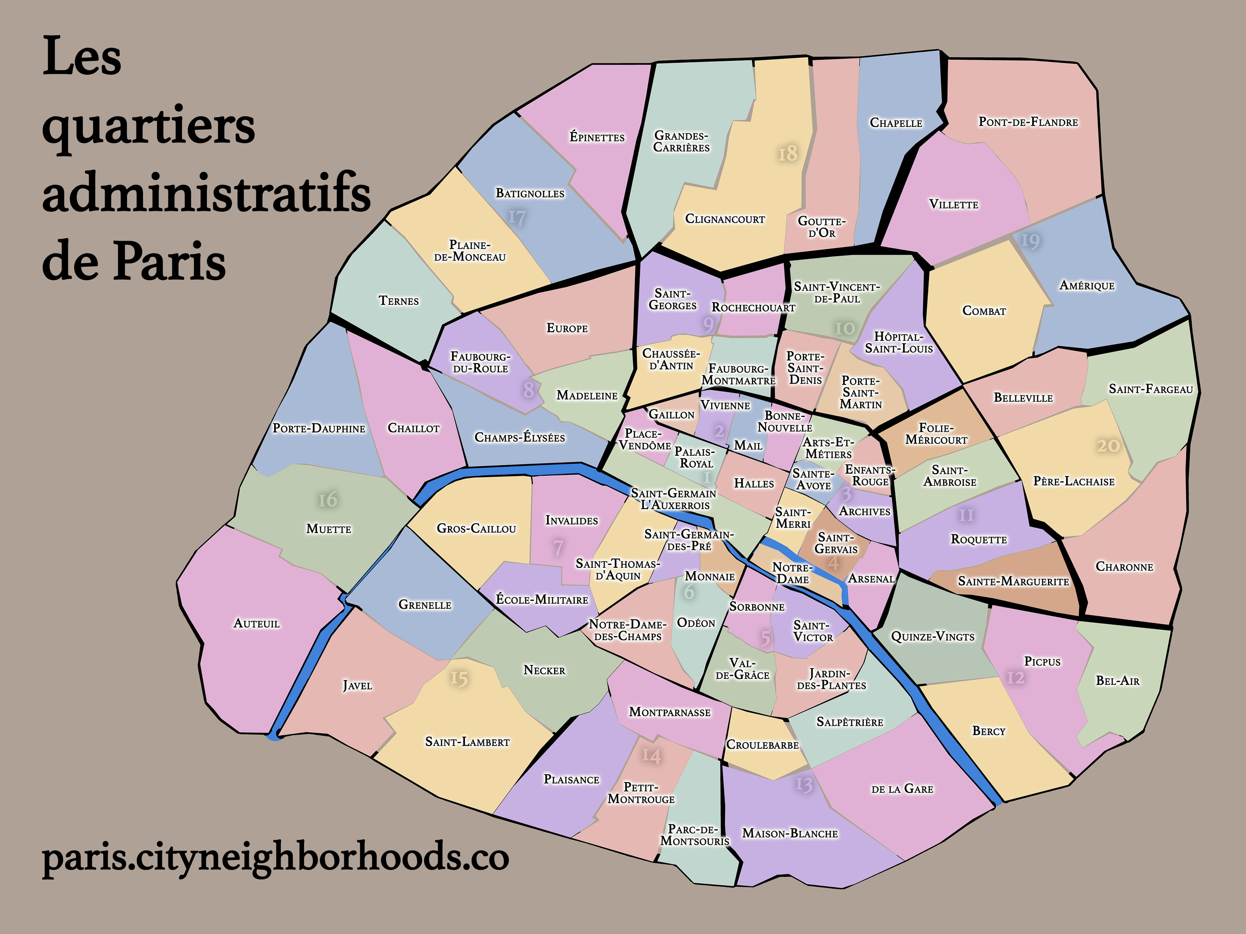
Each arrondissement is divided into four official administrative quarters, giving Paris a more precise civic and geographic framework.
-

The conseils de quartier bring participation to street level, giving residents a voice in neighborhood needs, public space, and local civic life.
-

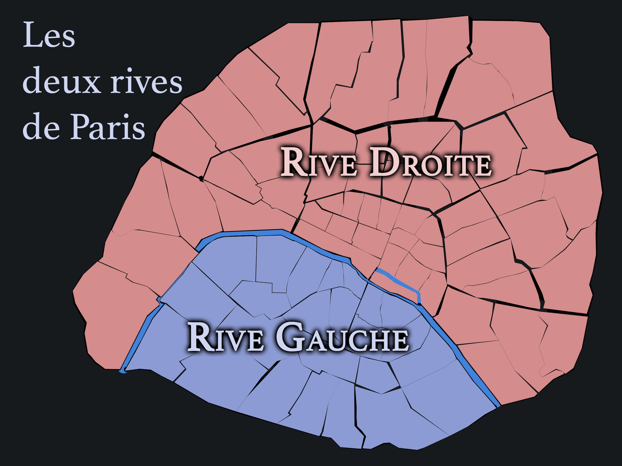
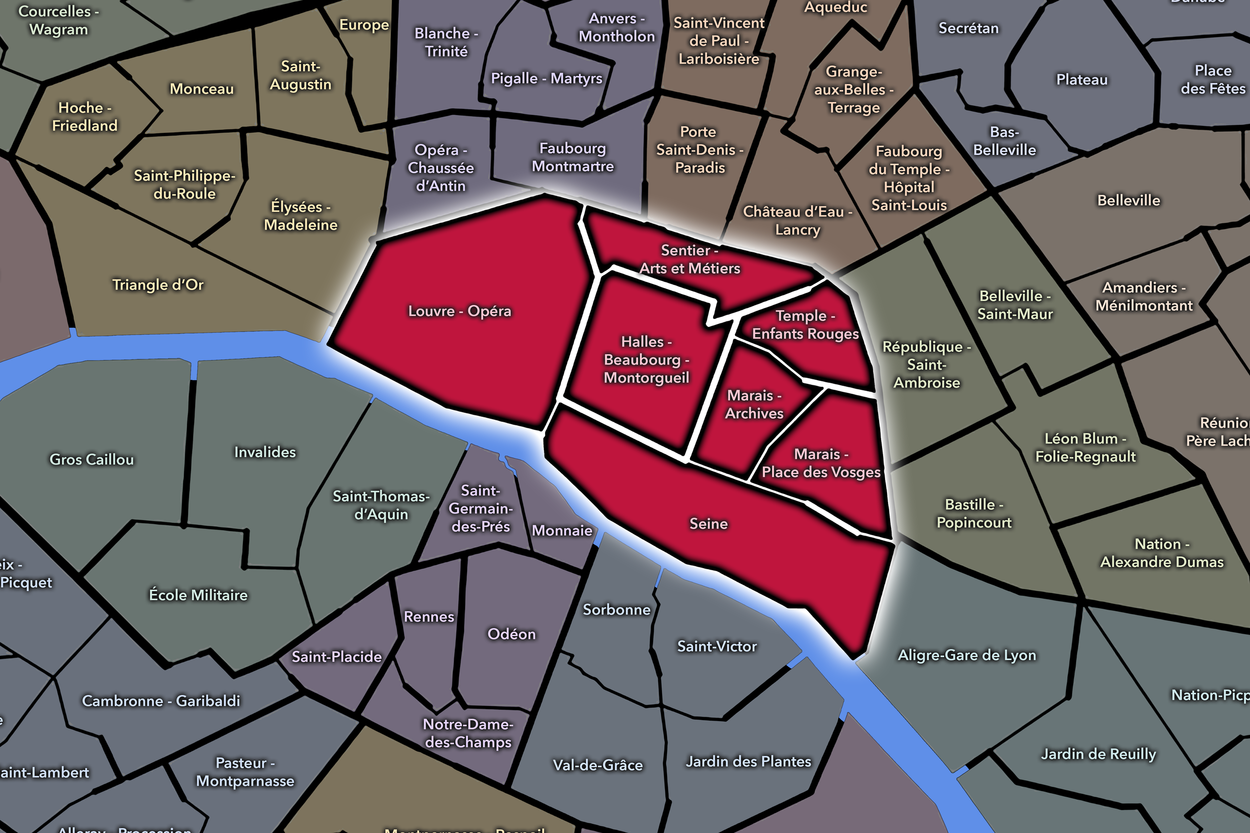
Les Deux Rives trace Paris through the Seine’s two banks, revealing how the Rive Droite and Rive Gauche shaped the city’s civic power, commerce, learning, art, and cultural identity.
-

Cultural neighborhoods reveal the Paris people recognize through history, cafés, architecture, memory, atmosphere, and local belonging.